Skip to search
Skip to main content
Digital Commonwealth
Folders
Sign Up / Log In
Search for
Search
Search
Search
Basic
Advanced
Explore
Map
Collections
Institutions
Formats
For Educators
Primary Source Sets
Lesson Plans
Using Primary Sources
Searching Digital Commonwealth
For Institutions
Join Digital Commonwealth
Conferences, Trainings, & Events
How to Contribute Collections
Digitization Services
Board & Committees
Frequently Asked Questions
About
About Digital Commonwealth
News & Announcements
Copyright & Terms of Use
Harmful Content Statement
Partners
API
Contact Us
Lawrence Public Library
Lawrence, Mass. Engineering Department. Plans and associated papers
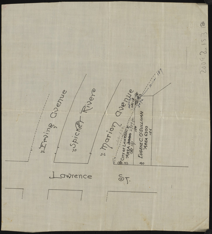
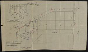
Plan Lawrence St.
Plan Lawrence St.
×
Item Information
Title:
Plan Lawrence St.
Date:
[ca. 1860–1930]
Format:
Maps/Atlases
Manuscripts
Genre:
Planning drawings
Location:
Lawrence Public Library
Special Collections
Collection (local):
Lawrence, Mass., Engineering Department, Spicket River Improvement Projects
Subjects:
Rivers
Streets
Boundaries
Places:
Massachusetts
>
Essex (county)
>
Lawrence
Spicket River
Extent:
1 map : ms. ; on sheet 26 x 24 cm
Permalink:
https://ark.digitalcommonwealth.org/ark:/50959/gq67rb656
Terms of Use:
No known copyright restrictions.
No known restrictions on use.
Notes:
Title from item or accompanying material.
Preferred Citation:
Courtesy Lawrence Public Library
Notes (date):
Date from item or accompanying material.
Accession #:
2009.9.2.15.3.18
Identifier:
LPL_batch10_0032
show more...
View MODS XML
More Like This
Document and plan Myrtle St. 1885
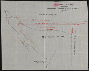
Exchange of land between Mrs. Phebe C. Brigham & City of Lawrence
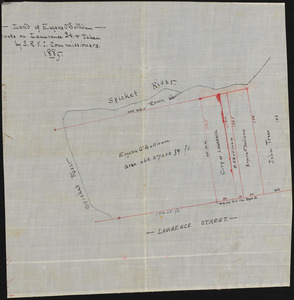
Land of Eugene O'Sullivan
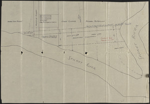
Land taken for Spicket improvement between Hanpshire and Walnut ...
Find More Like This >>
Tools
Share
Facebook
Pinterest
X
Reddit
Tumblr
Email
Copy link
Add to Folder
Questions/Comments
Cite This Item
Downloads
Primary (full resolution, uncompressed)
(TIF, 33.3 MB)
Large (full resolution)
(JPEG, 2.8 MB)
Medium
(JPEG, 143 KB)