Skip to search
Skip to main content
Skip to first result
Digital Commonwealth
Folders
Sign Up / Log In
Search for
Search
Search
Search
Basic
Advanced
Explore
Map
Collections
Institutions
Formats
For Educators
Primary Source Sets
Lesson Plans
Using Primary Sources
Searching Digital Commonwealth
For Institutions
Join Digital Commonwealth
Conferences, Trainings, & Events
How to Contribute Collections
Digitization Services
Board & Committees
Frequently Asked Questions
About
About Digital Commonwealth
News & Announcements
Copyright & Terms of Use
Harmful Content Statement
Partners
API
Contact Us
Search
Search Constraints
Start Over
Save Search
Your search:
More Like
commonwealth:fn107c17h
✖
Remove constraint More Like: commonwealth:fn107c17h
« Prev.
|
10,501
-
10,600
of
11,222
|
Next »
Sort
by date (asc)
relevance
title
date (asc)
date (desc)
Number of results to display per page
100
per page
per page
10
per page
20
per page
50
per page
100
per page
View results as:
List
list view
Maps
map view
Gallery
grid view
Search Results
10501.
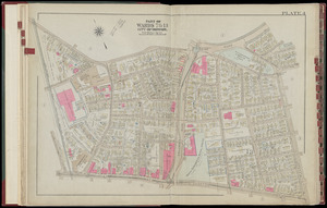
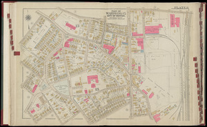
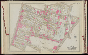
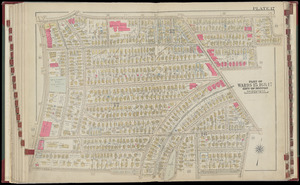
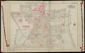
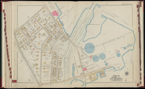
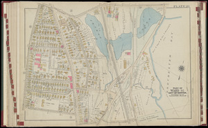
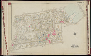
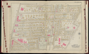
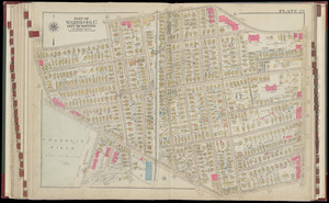
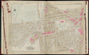
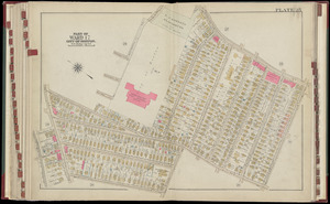
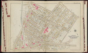
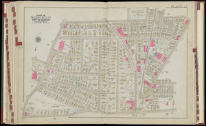
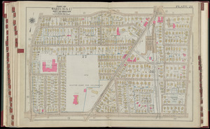
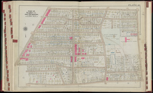
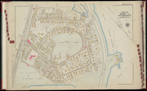
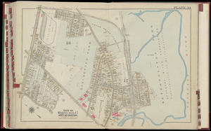
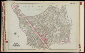
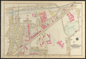
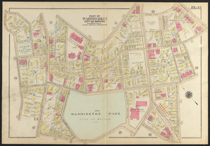
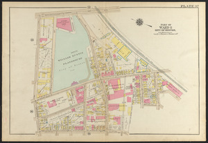
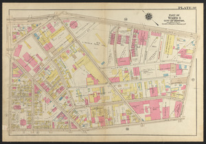
Atlas of the city of Boston, Roxbury : plate 23
10502.
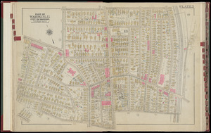
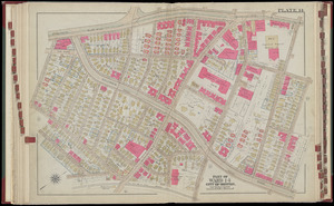
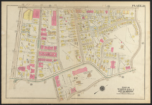
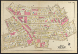
Atlas of the city of Boston, Roxbury : plate 24
10503.
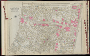
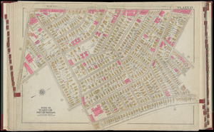
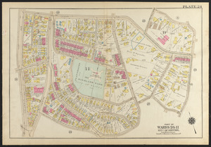
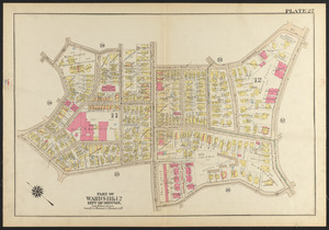
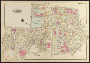
Atlas of the city of Boston, Roxbury : plate 25
10504.
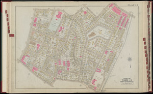
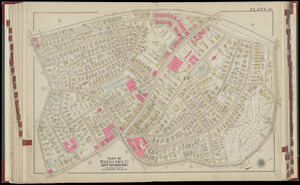
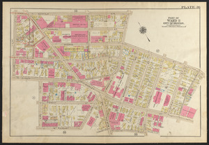
Atlas of the city of Boston, Roxbury : plate 26
10505.
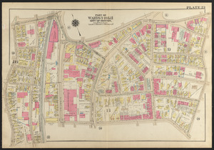
Atlas of the city of Boston, Roxbury : plate 27
10506.
Atlas of the city of Boston, Roxbury : plate 28
10507.
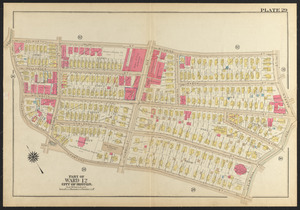
Atlas of the city of Boston, Roxbury : plate 29
10508.
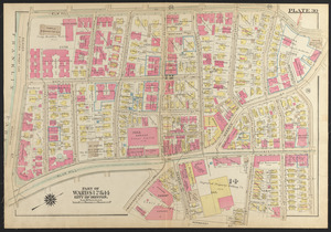
Atlas of the city of Boston, Roxbury : plate 30
10509.
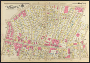
Atlas of the city of Boston, Roxbury : plate 31
10510.
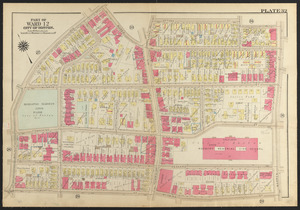
Atlas of the city of Boston, Roxbury : plate 32
10511.
Atlas of the city of Boston, Roxbury : plate 33
10512.
Atlas of the city of Boston, Roxbury : plate 34
10513.
Atlas of the city of Boston, Roxbury : plate 35
10514.
Atlas of the city of Boston, Roxbury : plate 36
10515.
Atlas of the city of Boston, Roxbury : plate 37
10516.
Atlas of the city of Boston, Roxbury : plate 38
10517.
Atlas of the city of Boston, Roxbury : plate 39
10518.
Being a map of the United States in the year 1831 when the Country Gentleman first made its appearance as the Genesee Farmer
10519.
Bus routes Boston Elevated Railway 1931 July 18
10520.
A chart of the history of printing in Europe
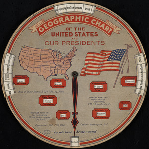
10521.
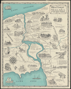
Geographic chart of the United States and our presidents
10522.
Historic Niagara Frontier
10523.
An historical and literary map of the Old Line State of Maryland : showing forth divers curious and notable facts relating to...
10524.
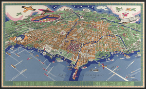
An illustrated map of Chicago : youthful city of the big shoulders, restless, ingenious, wilful, violent, proud to be alive!
10525.
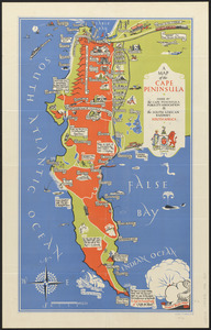
A map of the Cape Peninsula
10526.
A map of the Seneca villages and the Jesuit and French contacts 1615-1708
10527.
Mercator map of the world
10528.
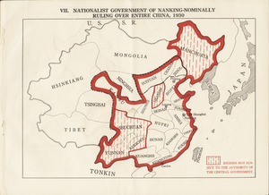
Nationalist government of Nanking - nominally ruling over entire China, 1930
10529.
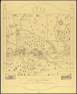
Ye olde towne of Rumford : (Concord, N.H.)
10530.
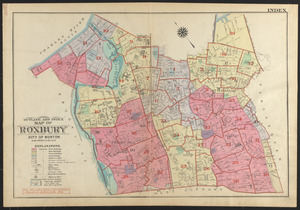
Outline and index map of Roxbury, city of Boston
10531.
Santiam National Forest, Oregon
10532.
Town of Belmont Assessors plans
10533.
An aerial view of New York City showing how easily the weary traveler may reach the Herald Square Hotel wherein he will find...
10534.
Broadway of America an all year ... all weather comfortable route from coast to coast
10535.
A descriptive map of the region within one hundred miles of the capital of the United States : portraying the principal events...
10536.
Map showing Japanese-Chinese warfre [sic] now in Shanghai
10537.
Outline map of Massachusetts showing boundaries of towns and counties in tidal water
10538.
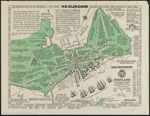
Portland also called Falmouth first settled 1632 chartered as a city 1832
10539.
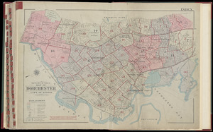
Atlas of the city of Boston : Dorchester : from actual surveys and official plans
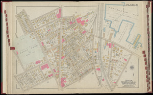
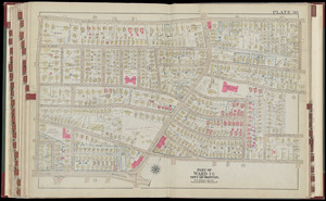
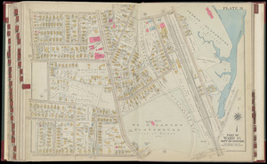
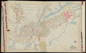
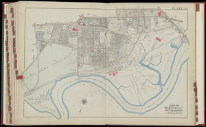
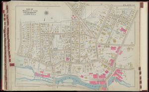
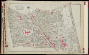
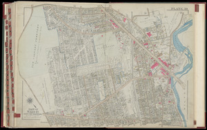
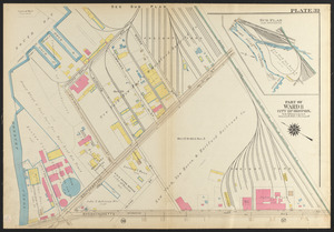
10540.
Atlas of the city of Boston, Dorchester : from actual surveys and official plans : plate 1
10541.
Atlas of the city of Boston, Dorchester : from actual surveys and official plans : plate 2
10542.
Atlas of the city of Boston, Dorchester : from actual surveys and official plans : plate 3
10543.
Atlas of the city of Boston, Dorchester : from actual surveys and official plans : plate 4
10544.
Atlas of the city of Boston, Dorchester : from actual surveys and official plans : plate 5
10545.
Atlas of the city of Boston, Dorchester : from actual surveys and official plans : plate 6
10546.
Atlas of the city of Boston, Dorchester : from actual surveys and official plans : plate 7
10547.
Atlas of the city of Boston, Dorchester : from actual surveys and official plans : plate 8
10548.
Atlas of the city of Boston, Dorchester : from actual surveys and official plans : plate 10
10549.
Atlas of the city of Boston, Dorchester : from actual surveys and official plans : plate 11
10550.
Atlas of the city of Boston, Dorchester : from actual surveys and official plans : plate 12
10551.
Atlas of the city of Boston, Dorchester : from actual surveys and official plans : plate 13
10552.
Atlas of the city of Boston, Dorchester : from actual surveys and official plans : plate 14
10553.
Atlas of the city of Boston, Dorchester : from actual surveys and official plans : plate 15
10554.
Atlas of the city of Boston, Dorchester : from actual surveys and official plans : plate 16
10555.
Atlas of the city of Boston, Dorchester : from actual surveys and official plans : plate 17
10556.
Atlas of the city of Boston, Dorchester : from actual surveys and official plans : plate 18
10557.
Atlas of the city of Boston, Dorchester : from actual surveys and official plans : plate 19
10558.
Atlas of the city of Boston, Dorchester : from actual surveys and official plans : plate 20
10559.
Atlas of the city of Boston, Dorchester : from actual surveys and official plans : plate 21
10560.
Atlas of the city of Boston, Dorchester : from actual surveys and official plans : plate 22
10561.
Atlas of the city of Boston, Dorchester : from actual surveys and official plans : plate 23
10562.
Atlas of the city of Boston, Dorchester : from actual surveys and official plans : plate 24
10563.
Atlas of the city of Boston, Dorchester : from actual surveys and official plans : plate 25
10564.
Atlas of the city of Boston, Dorchester : from actual surveys and official plans : plate 26
10565.
Atlas of the city of Boston, Dorchester : from actual surveys and official plans : plate 27
10566.
Atlas of the city of Boston, Dorchester : from actual surveys and official plans : plate 28
10567.
Atlas of the city of Boston, Dorchester : from actual surveys and official plans : plate 29
10568.
Atlas of the city of Boston, Dorchester : from actual surveys and official plans : plate 30
10569.
Atlas of the city of Boston, Dorchester : from actual surveys and official plans : plate 31
10570.
Atlas of the city of Boston, Dorchester : from actual surveys and official plans : plate 32
10571.
Atlas of the city of Boston, Dorchester : from actual surveys and official plans : plate 9
10572.
Atlas of the city of Boston, Dorchester : from actual surveys and official plans : plate 33
10573.
Atlas of the city of Boston, Dorchester : from actual surveys and official plans : plate 34
10574.
Atlas of the city of Boston, Dorchester : from actual surveys and official plans : plate 35
10575.
Atlas of the city of Boston, Dorchester : from actual surveys and official plans : plate 36
10576.
Atlas of the city of Boston, Dorchester : from actual surveys and official plans : plate 37
10577.
Atlas of the city of Boston, Dorchester : from actual surveys and official plans : plate 38
10578.
Atlas of the city of Boston, Dorchester : from actual surveys and official plans : plate 39
10579.
Atlas of the city of Boston, Dorchester : from actual surveys and official plans : plate 40
10580.
Atlas of the city of Boston, Dorchester : from actual surveys and official plans : index map
10581.
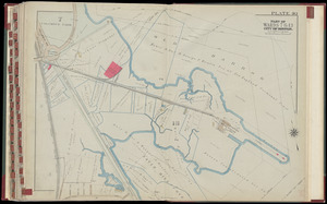
Capital Park : Hyde Park ... Boston
10582.
A chart of the coast of Maine
10583.
In flight with United Air Lines
10584.
Manhattan : first city of America
10585.
A map of Chicago : incorporated as a town August 5, 1833
10586.
A map of Long Island
10587.
Mount Hope Bridge, Bristol, Rhode Island
10588.
Siskiyou National Forest, Oregon and California
10589.
Siuslaw National Forest, Oregon
10590.
Tennessee River basin
10591.
The topographic map of Manchoukuo
10592.
Being a cartograph of Ohio : the oldest state west of the thirteen original colonies; now the fourth state in the Union in...
10593.
City of Melrose assessors plans
10594.
Financial irrigation of the United States by funds appropriated for emergency use under the New Deal
10595.
Map of Boston Common : with surrounding streets & adjacent parts of Beacon Hill
10596.
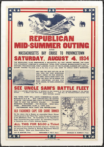
Republican mid-summer outing and Massachusetts Bay Cruise to Provincetown Saturday, August 4, 1934
10597.
Teton National Forest, Wyoming
10598.
The townships of Dedham, Westwood, Needham, Dover, Sherborn, Norwood, Medfield, Millis, Walpole, Norfolk, Massachusetts
10599.
Umpqua National Forest, Oregon
10600.
Whitman National Forest, Blue Mountains Division, Oregon
« Previous
Next »
1
2
…
102
103
104
105
106
107
108
109
110
…
112
113
Limit your search
Subject
Real property--Massachusetts--Boston--Maps
2,298
Boston (Mass.)--Maps
2,181
Landowners--Massachusetts--Boston--Maps
2,126
Roxbury (Boston, Mass.)--Maps
353
Dorchester (Boston, Mass.)--Maps
317
Cambridge (Mass.)--Maps
268
Brookline (Mass.)--Maps
237
Real property--Massachusetts--Cambridge--Maps
216
more
Subject
»
Place
North and Central America
8,036
United States
6,653
Suffolk (county)
3,555
Boston
3,415
Massachusetts
3,249
Europe
963
Middlesex (county)
619
Canada
427
more
Place
»
Format
Maps/Atlases
11,163
Manuscripts
215
Prints
51
Books
35
Objects/Artifacts
10
Drawings/Illustrations
8
Posters
4
Available to use
No known restrictions
11,048
Creative Commons license
67
Date
View distribution
Current results range from
1482
to
2023
Date range begin
Date range end
View larger »
Unknown
3
Collection
Norman B. Leventhal Map Center Collection
11,033
Boston and New England Maps (Collection of Distinction)
5,233
Urban Maps (Collection of Distinction)
4,967
Maritime Charts and Atlases (Collection of Distinction)
750
American Revolutionary War-Era Maps (Collection of Distinction)
625
Boston Redevelopment Authority Collection
190
Historic Maps
49
Mapping Boston Collection
20
more
Collection
»
Institution
Boston Public Library
11,116
Salem State University Archives and Special Collections
49
State Library of Massachusetts
27
Private Collection
20
American Antiquarian Society
9
Boston Athenaeum
1


![Map showing Japanese-Chinese warfre [sic] now in Shanghai](https://bpldcassets.blob.core.windows.net/derivatives/images/commonwealth:9s161h819/image_thumbnail_300.jpg)