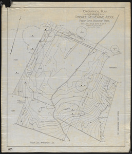
Search


Limit your search
- Parks5,384
- Lakes & ponds544
- Snow424
- Monuments & memorials240
- Trees221
- Hippies193
- Boats190
- Rivers171
- North and Central America5,377
- United States5,359
- Massachusetts4,212
- Suffolk (county)3,090
- Boston2,913
- Boston Common1,156
- Public Garden1,150
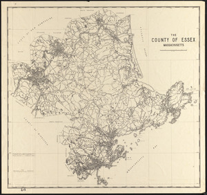
- Essex (county)478
- Leslie Jones Collection1,180
- Tichnor Brothers Postcard Collection1,023
- Boston Pictorial Archive (Collection of Distinction)415
- Press Photography from the Brearley Collection322
- Stereograph Collection258
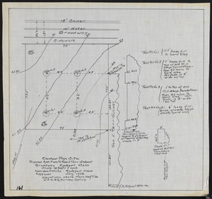
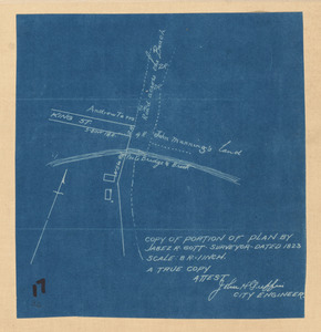
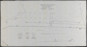
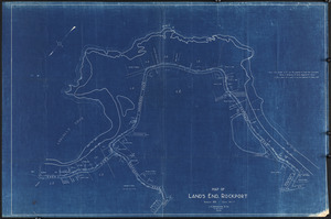
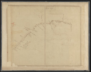
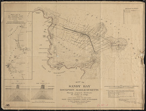
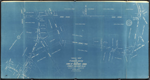
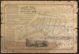
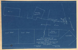
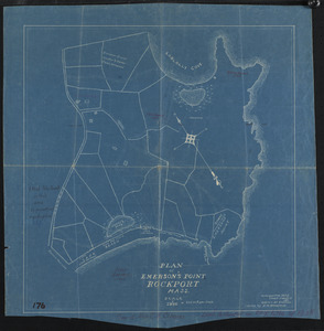
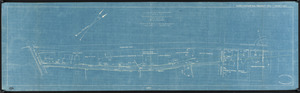
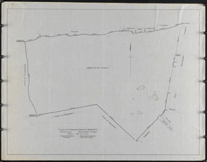
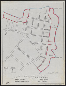
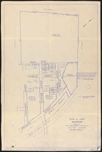
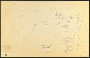
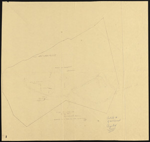
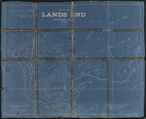
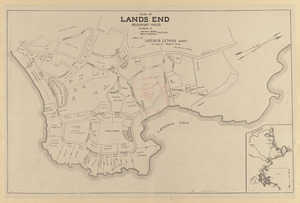
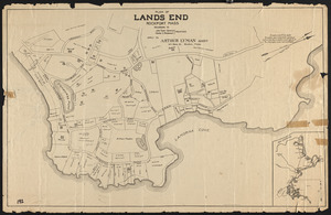
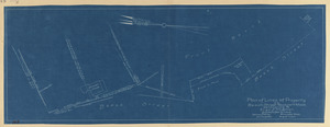
- Rockport Town Clerk, Street, Roads and Maps227
- Project DOCUMERICA Photographs by Ernst Halberstadt221
- Arthur Griffin Photographs186