Skip to search
Skip to main content
Skip to first result
Digital Commonwealth
Folders
Sign Up / Log In
Search for
Search
Search
Search
Basic
Advanced
Explore
Map
Collections
Institutions
Formats
For Educators
Primary Source Sets
Lesson Plans
Using Primary Sources
Searching Digital Commonwealth
For Institutions
Join Digital Commonwealth
Conferences, Trainings, & Events
How to Contribute Collections
Digitization Services
Board & Committees
Frequently Asked Questions
About
About Digital Commonwealth
News & Announcements
Copyright & Terms of Use
Harmful Content Statement
Partners
API
Contact Us
Search
Search Constraints
Start Over
Save Search
Your search:
More Like
commonwealth:cj82kp051
✖
Remove constraint More Like: commonwealth:cj82kp051
« Prev.
|
10,661
-
10,680
of
11,000
|
Next »
Sort
by relevance
relevance
title
date (asc)
date (desc)
Number of results to display per page
20
per page
per page
10
per page
20
per page
50
per page
100
per page
View results as:
List
list view
Maps
map view
Gallery
grid view
Search Results
10661.
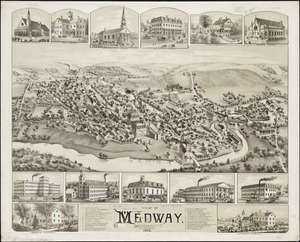
View of Medway, Massachusetts : 1887
10662.
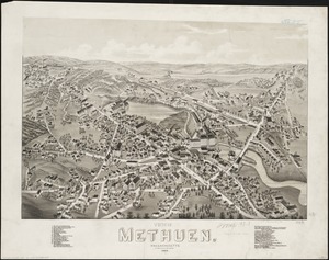
View of Methuen, Massachusetts : 1882
10663.
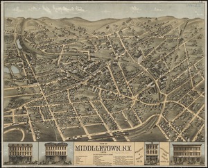
View of Middletown, N.Y : 1874
10664.
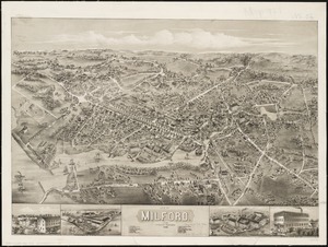
View of Milford, Conn : 1882
10665.
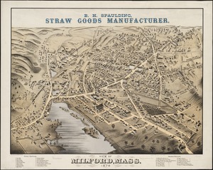
View of Milford, Mass : 1876
10666.
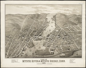
View of Mystic River & Mystic Bridge, Conn. 1879
10667.
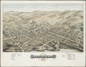
View of Natick, Mass : 1877, population about 8000
10668.
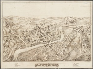
View of Naugatuck, Conn : 1877
10669.
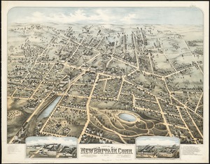
View of New Britain, Conn : 1875
10670.
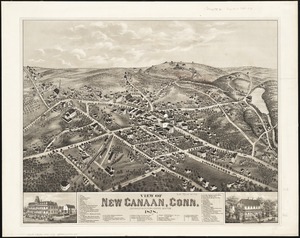
View of New Canaan, Conn : 1878
10671.
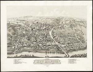
View of New Milford, Conn : 1882
10672.
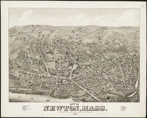
View of Newton, Mass : comprising Wards 1 & 7 & environs of the city of Newton
10673.
View of North Easton, Massachusetts, 1881
10674.
View of North Manchester, Connecticut : 1880
10675.
View of Northborough, Massachusetts : 1887
10676.
View of Oneida, N.Y : 1874
10677.
View of Palmer, Mass
10678.
A view of part of the town of Boston in New-England and Brittish [sic] ships of war landing their troops! 1768
10679.
View of Peabody, Mass : 1877
10680.
A view of Port Hood, sailing into the harbor : A view of the Plaister Cliffs, in George's Bay
« Previous
Next »
1
2
…
530
531
532
533
534
535
536
537
538
…
549
550
Limit your search
Subject
Real property--Massachusetts--Boston--Maps
2,278
Landowners--Massachusetts--Boston--Maps
2,117
Boston (Mass.)--Maps
1,966
Roxbury (Boston, Mass.)--Maps
351
Dorchester (Boston, Mass.)--Maps
317
Cambridge (Mass.)--Maps
266
Brookline (Mass.)--Maps
236
Real property--Massachusetts--Cambridge--Maps
216
more
Subject
»
Place
North and Central America
7,814
United States
6,434
Suffolk (county)
3,337
Boston
3,197
Massachusetts
3,167
Europe
963
Middlesex (county)
617
Canada
428
more
Place
»
Format
Maps/Atlases
10,941
Manuscripts
215
Prints
51
Books
35
Objects/Artifacts
10
Drawings/Illustrations
8
Posters
4
Available to use
No known restrictions
10,931
Creative Commons license
46
Date
View distribution
Current results range from
1482
to
2023
Date range begin
Date range end
View larger »
Collection
Norman B. Leventhal Map Center Collection
10,999
Boston and New England Maps (Collection of Distinction)
5,105
Urban Maps (Collection of Distinction)
4,846
Maritime Charts and Atlases (Collection of Distinction)
750
American Revolutionary War-Era Maps (Collection of Distinction)
615
Boston Redevelopment Authority Collection
86
Historic Maps
1
Institution
Boston Public Library
10,999
Salem State University Archives and Special Collections
1


![A view of part of the town of Boston in New-England and Brittish [sic] ships of war landing their troops! 1768](https://bpldcassets.blob.core.windows.net/derivatives/images/commonwealth:4m90f851p/image_thumbnail_300.jpg)

