Skip to search
Skip to main content
Digital Commonwealth
Sign Up / Log In
Search for
Search
Search
Search
Basic
Advanced
Explore
Map
Collections
Institutions
Formats
For Educators
Primary Source Sets
Lesson Plans
Using Primary Sources
Searching Digital Commonwealth
For Institutions
Join Digital Commonwealth
Conferences, Trainings, & Events
How to Contribute Collections
Digitization Services
Board & Committees
Frequently Asked Questions
About
About Digital Commonwealth
News & Announcements
Copyright & Terms of Use
Harmful Content Statement
Partners
API
Contact Us
Boston Public Library
Norman B. Leventhal Map Center Collection
/
American Revolutionary War-Era Maps (Collection of Distinction)
/
Maritime Charts and Atlases (Collection of Distinction)
A view of Port Hood, sailing into the harbor : A view of the Plaister Cliffs, in George's Bay
A view of Port Hood, sailing into the harbor
×
Item Information
Title:
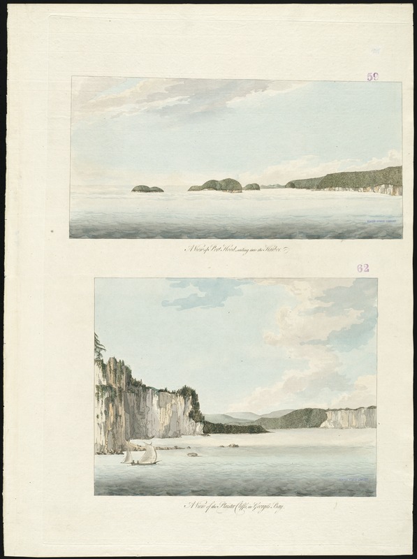
A view of Port Hood, sailing into the harbor : A view of the Plaister Cliffs, in George's Bay
Title (alt.):
[Two views of Cape Breton Island]
A view of the Plaister Cliffs, in George's Bay
Creator:
Des Barres, Joseph F. W. (Joseph Frederick Wallet), 1722-1824
Date:
[1777]
Format:
Maps/Atlases
Location:
Boston Public Library
Norman B. Leventhal Map Center
Collection (local):
Norman B. Leventhal Map Center Collection
Subjects:
Coasts--Nova Scotia--Cape Breton Island--Pictorial works--Early works to 1800
Coasts--Nova Scotia--Port Hood--Pictorial works--Early works to 1800
Coasts--Nova Scotia--Pictorial works--Early works to 1800
Nova Scotia--Pictorial works--Early works to 1800
Places:
Canada
>
Port Hood
Extent:
2 views on 1 sheet : hand col. ; sheet 79 x 58 cm.
Permalink:
https://ark.digitalcommonwealth.org/ark:/50959/ws859h26s
Terms of Use:
No known copyright restrictions.
No known restrictions on use.
Publisher:
London : J.F.W. Des Barres
Scale:
Not drawn to scale.
Language:
English
Notes:
Appears in the author's Atlantic Neptune. London : J.F.W. Des Barres, 1777-[1781].
Notes (date):
This date is inferred.
Identifier:
06_01_008303
Call #:
G1106.P5 D47 1777
Barcode:
30000003799380
show more...
View MODS XML
More Like This
Appearance of the land from the White Islands to St. Marys River ...
Cape Blowmedown : Cape Split ; Spencers Island and the entrance to ...
A view of the east end of the Isle Sable ... : The eastern end of ...
South entrance of Grand Passage : Cape St. Mary, N:E: one mile ; ...
Find More Like This >>
Tools
Share
Facebook
Pinterest
X
Reddit
Tumblr
Email
Copy link
Add to Folder
Questions/Comments
Cite This Item
IIIF Manifest
Downloads
Primary (full resolution, uncompressed)
(TIF, 130 MB)
Large (full resolution)
(JPEG, 10.9 MB)
Medium
(JPEG, 114 KB)