Search
Search Results
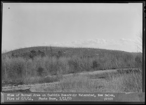
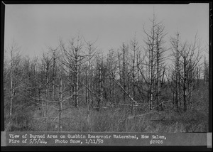
- Creator:
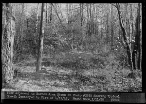
- Massachusetts. Metropolitan District Commission. Water Division; Snow, Russell, 1902-1969
- Format:
- Photographs
- Collection:
- Massachusetts Metropolitan District Water Supply Commission, Quabbin Reservoir, Photographs of Real Estate in the Swift River Valley, and of General Engineering of Quabbin Reservoir, 1927-1950
- Date:
- January 11, 1950
- Institution:
- Massachusetts Archives
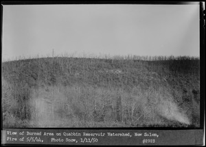
- Creator:
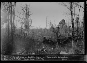
- Massachusetts. Metropolitan District Commission. Water Division; Snow, Russell, 1902-1969
- Format:
- Photographs
- Collection:
- Massachusetts Metropolitan District Water Supply Commission, Quabbin Reservoir, Photographs of Real Estate in the Swift River Valley, and of General Engineering of Quabbin Reservoir, 1927-1950
- Date:
- January 11, 1950
- Institution:
- Massachusetts Archives
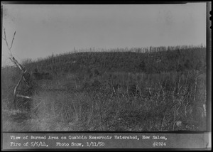
- Creator:
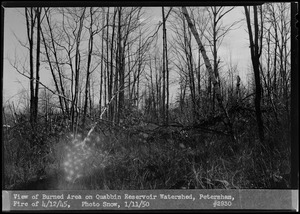
- Massachusetts. Metropolitan District Commission. Water Division; Snow, Russell, 1902-1969
- Format:
- Photographs
- Collection:
- Massachusetts Metropolitan District Water Supply Commission, Quabbin Reservoir, Photographs of Real Estate in the Swift River Valley, and of General Engineering of Quabbin Reservoir, 1927-1950
- Date:
- January 11, 1950
- Institution:
- Massachusetts Archives
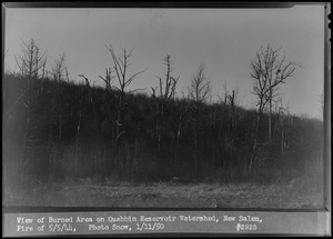
- Creator:
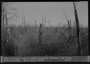
- Massachusetts. Metropolitan District Commission. Water Division; Snow, Russell, 1902-1969
- Format:
- Photographs
- Collection:
- Massachusetts Metropolitan District Water Supply Commission, Quabbin Reservoir, Photographs of Real Estate in the Swift River Valley, and of General Engineering of Quabbin Reservoir, 1927-1950
- Date:
- January 11, 1950
- Institution:
- Massachusetts Archives
- Creator:
- Massachusetts. Metropolitan District Water Supply Commission; Massachusetts. Metropolitan District Commission. Water Division
- Format:
- Maps/Atlases
- Collection:
- Massachusetts Metropolitan District Water Supply Commission, Quabbin Reservoir, Photographs of Real Estate in the Swift River Valley, and of General Engineering of Quabbin Reservoir, 1927-1950
- Date:
- January 1950
- Institution:
- Massachusetts Archives
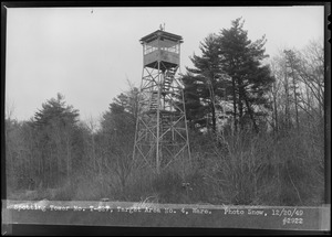
- Creator:
- Massachusetts. Metropolitan District Commission. Water Division; Snow, Russell, 1902-1969
- Format:
- Photographs
- Collection:
- Massachusetts Metropolitan District Water Supply Commission, Quabbin Reservoir, Photographs of Real Estate in the Swift River Valley, and of General Engineering of Quabbin Reservoir, 1927-1950
- Date:
- December 20, 1949
- Institution:
- Massachusetts Archives
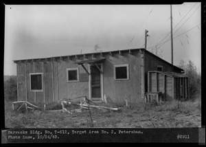
- Creator:
- Massachusetts. Metropolitan District Commission. Water Division; Snow, Russell, 1902-1969
- Format:
- Photographs
- Collection:
- Massachusetts Metropolitan District Water Supply Commission, Quabbin Reservoir, Photographs of Real Estate in the Swift River Valley, and of General Engineering of Quabbin Reservoir, 1927-1950
- Date:
- October 24, 1949
- Institution:
- Massachusetts Archives
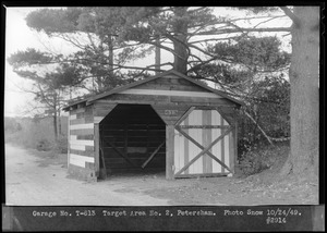
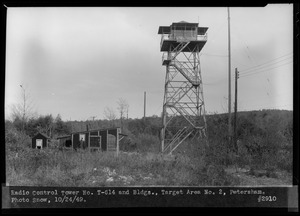
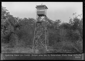
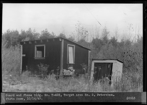
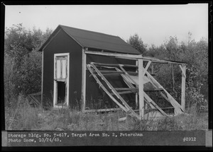
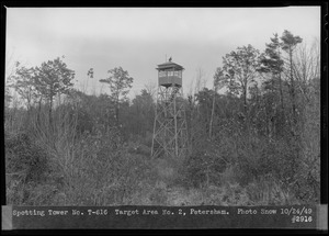
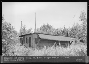
- Creator:
- Massachusetts. Metropolitan District Commission. Water Division; Snow, Russell, 1902-1969
- Format:
- Photographs
- Collection:
- Massachusetts Metropolitan District Water Supply Commission, Quabbin Reservoir, Photographs of Real Estate in the Swift River Valley, and of General Engineering of Quabbin Reservoir, 1927-1950
- Date:
- June 24, 1949
- Institution:
- Massachusetts Archives
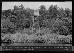
- Creator:
- Massachusetts. Metropolitan District Commission. Water Division; Snow, Russell, 1902-1969
- Format:
- Photographs
- Collection:
- Massachusetts Metropolitan District Water Supply Commission, Quabbin Reservoir, Photographs of Real Estate in the Swift River Valley, and of General Engineering of Quabbin Reservoir, 1927-1950
- Date:
- June 24, 1949
- Institution:
- Massachusetts Archives