Skip to search
Skip to main content
Skip to first result
Digital Commonwealth
Folders
Sign Up / Log In
Search for
Search
Search
Search
Basic
Advanced
Explore
Map
Collections
Institutions
Formats
For Educators
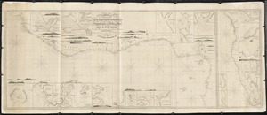
Primary Source Sets
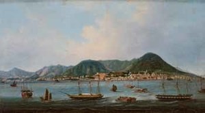
Lesson Plans
Using Primary Sources
Searching Digital Commonwealth
For Institutions
Join Digital Commonwealth
Conferences, Trainings, & Events
How to Contribute Collections
Digitization Services
Board & Committees
Frequently Asked Questions
About
About Digital Commonwealth
News & Announcements
Copyright & Terms of Use
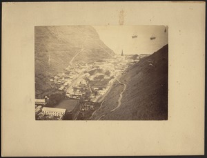
Harmful Content Statement
Partners
API
Contact Us
Search
Search Constraints
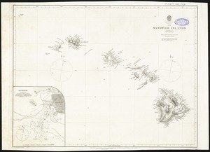
Start Over
Save Search
Your search:
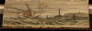
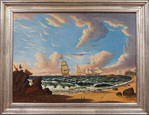
More Like
commonwealth:8s45qz745
✖
Remove constraint More Like: commonwealth:8s45qz745
« Prev. |
1
-
100
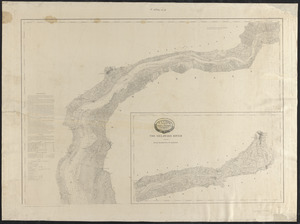
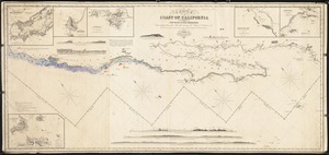
of
3,031
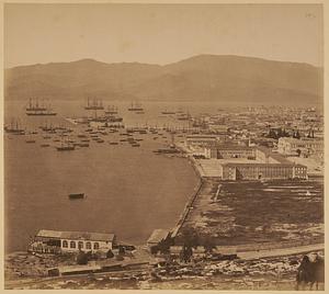
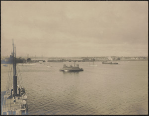
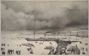
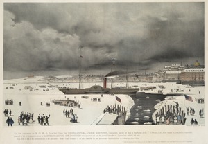
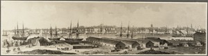
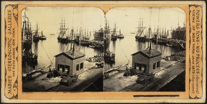
|
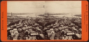
Next »
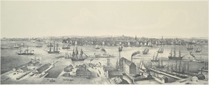
Sort
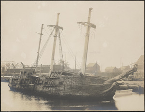
by date (asc)
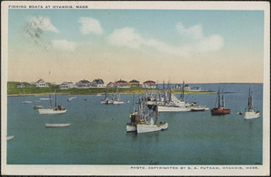
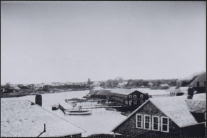
relevance
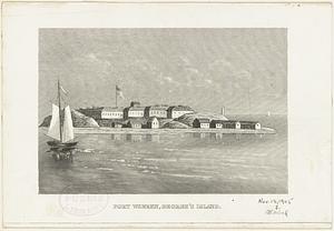
title
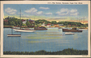
date (asc)
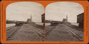
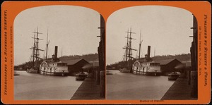
date (desc)
Number of results to display per page
100
per page
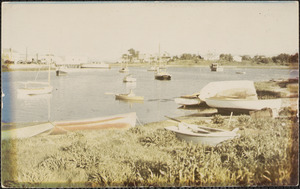
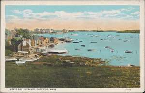
per page
10
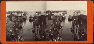
per page
20
per page
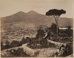
50
per page
100
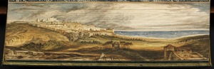
per page
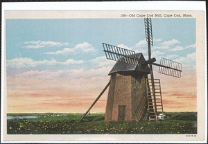
View results as:
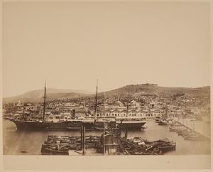
List
list view
Maps
map view
Gallery
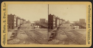
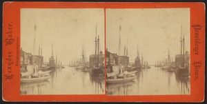
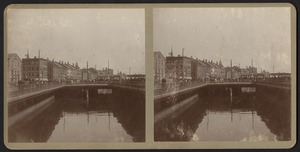
grid view
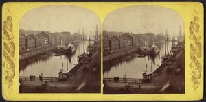
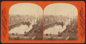
Search Results
1.
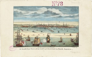
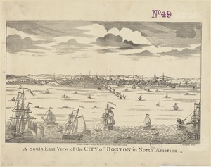
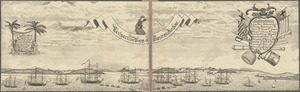
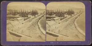
A south-east view of the City of Boston in North America
2.
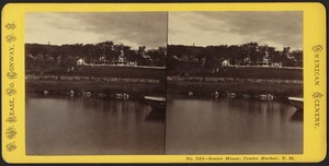
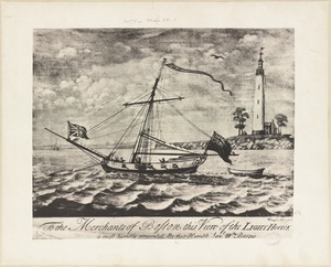
To the merchants of Boston this view of the light house is most humbly presented by their humble servt. Wm. Burgis
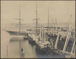
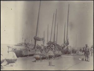
3.
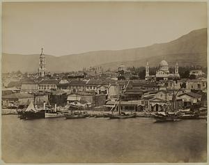
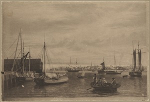
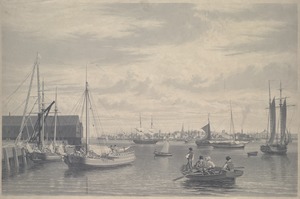
A south-east view of the City of Boston in North America
4.
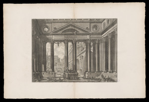
Vindicibvs.et.protectoribvs bonarvm.artivm I.B.Piranesivs
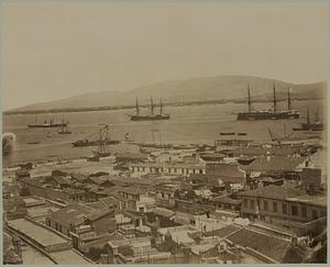
5.
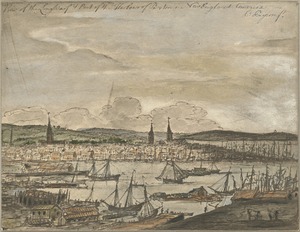
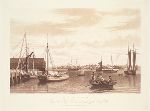
View of the Long Warf & port of the harbour of Boston in New England America
6.
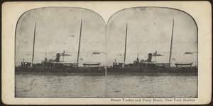
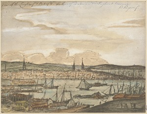
View of the Long Warf & port of the harbour of Boston in New England America
7.
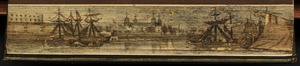
Boston. Perspective. View of Boston Harbor and the British fleet, 1768
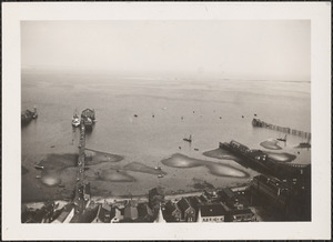
8.
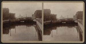
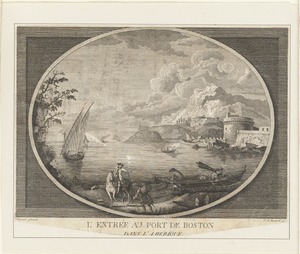
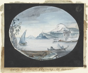
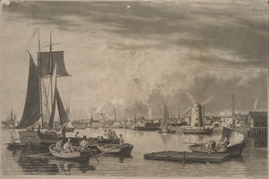
L'entrée au Port de Boston, dans L'Amérique
9.
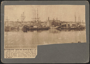
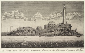
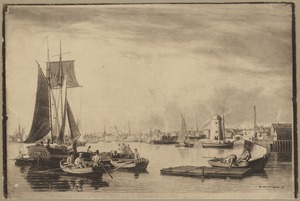
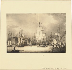
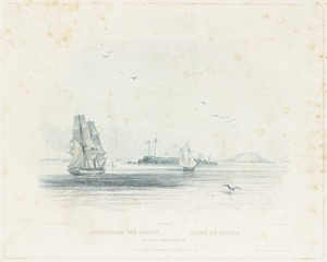
A south west view of the lighthouse, situate at the entrance of Boston Harbour
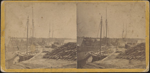
10.
"Ingresso del porto di Boston in America"
11.
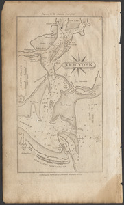
New York
12.
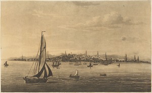
View of Boston, from the bay
13.
Tower of London, with ships at anchor in the Thames River
14.
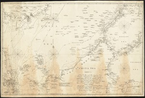
China Sea
15.
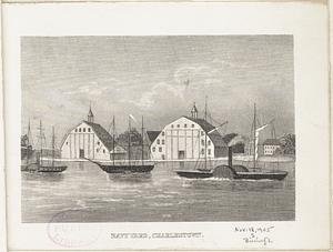
Charlestown Navy Yard about 1826. Showing Bunker Hill
16.
This chart, intended as an accompaniment to the book of directions for navigating to, from, and in the East Indies
17.
A chart of the Bay of Biscay, with various additions & improvements from the surveys of Tofino, Mechain, & others
18.
The north eastern coast of North America, New York to Cape Canso, including Sable Island
19.
Harbor at Hong Kong
20.
Seaport of Joppa
21.
Boston about 1833
22.
Boston, from City Point near Sea Street
23.
Boston from the navy yard, 1833
24.
Boston. From the ship house west end of the Navy Yard
25.
Boston, from the shiphouse, west end of Navy Yard, 1833
26.
Robert Salmon's view of Long and Central Wharves, Boston.
27.
A chart of the western coast of Africa, extending from Sierra Leone and the Isles de Los, to the Cape of Good Hope. With...
28.
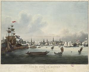
Vue du Port de Boston = View of the Port of Boston
29.
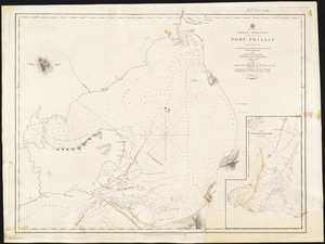
Australia, South Coast, Port Phillip
30.
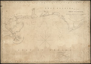
The coasts of West Florida, Alabama, Mississippi & Louisiana; from the surveys of Gauld improved by those of the U.S....
31.
Harbor entrance of Genoa
32.
Leuchtthurm von Boston. Phare de Boston. Boston lighthouse
33.
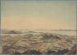
Birds-eye view of village and harbor in mountain valley; three-masted ships in distance
34.
Unidentified harbor with sailing vessel in dock; unidentified battleship on left in distance; soldier with gun in foreground
35.
South America, coast of Peru
36.
A chart of the Cape Verd Islands
37.
The north coast of the Gulf of Mexico for St. Marks to Galveston
38.
Straat Madura. Eild. Java no. 5. Zuider Breedle
39.
The Sandwich Islands, from various but imperfect authorities
40.
This print, representing the B & N. A Royal Mail steam ship Britannia, John Hewitt, commander, leaving her dock at East Boston...
41.
This print, representing the B & N. A Royal Mail steam ship Britannia, John Hewitt, commander, leaving her dock at East Boston...
42.
Shipping off a Coast
43.
Kaart der Moluksche Eilanden en Vaarwaters, benevens een blad met verchillende plannen volgens de laatste Hydrographische...
44.
Chart of the coast of China, from the Canton River to the Yang Tze Keang
45.
The Bahama Banks and Gulf of Florida
46.
Map of Delaware Bay and River
47.
Map of Delaware River
48.
Massachusetts. Boston from East Boston, 1848
49.
View of Boston in 1848 from East Boston
50.
Chart of the coast of California from San Blas to San Francisco
51.
Boathouse and harbor
52.
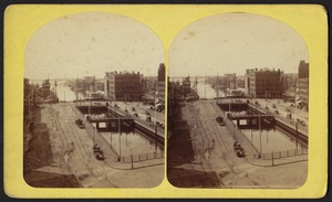
Boston, from State Street block, [illegible]
53.
Boston Harbor and East Boston, from Bunker Hill Monument
54.
Boston Harbor and East Boston, from State St. block
55.
Dismantled whaler
56.
Fishing boats at Hyannis, Mass.
57.
Fort Warren, George's Island
58.
The Harbor, Hyannis, Mass.
59.
Harbor of Duluth
60.
Harbor of Duluth
61.
Hyannis Harbor
62.
Hyannis Harbor and Hyannis Park on Cape Cod, Mass.
63.
Lewis Bay, Hyannis, Cape Cod, Mass.
64.
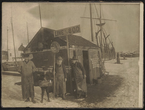
Live cod stand
65.
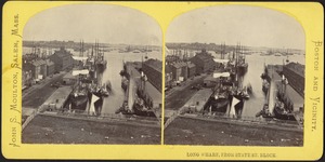
Long Wharf, from State St. block
66.
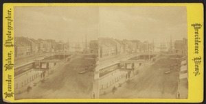
Market Square, looking down Narragansett Bay Providence R.I.
67.
Men on beach with rowboat
68.
Napoli da S. Martino
69.
Navy Yard, Charlestown
70.
New bridge Feb. 21, 1876
71.
Nr. Boston N. America
72.
Overlooking Stage Harbor, Chatham, Cape Cod, windmill built circa 1797
73.
Piereas [i.e. Piraeus]
74.
Le port - Quai Saint-Théodore a Gemes - J.A.
75.
Probably Hyannis Harbor, Hyannis, Mass.
76.
Probably Hyannis Harbor, Hyannis, Mass.
77.
Probably Lewis Bay, Hyannis, Mass.
78.
Prov[idence] River
79.
Providence River from Westminster Street
80.
Providence River from Westminster Street
81.
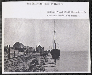
Railroad Wharf, South Hyannis, Mass.
82.
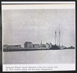
Railroad Wharf, South Hyannis, Mass. with two vessels
83.
Senter House, Centre Harbor, N. H.
84.
Ships docked at wharf
85.
Smyrna
86.
Smyrna
87.
Smyrna
88.
Smyrna - harbor
89.
South waters St.
90.
St. Stephano - 10 miles from Constantinople, on sea of Marmara
91.
Steam yachts and ferry boats, New York Harbor
92.
View from bridge (Market Square)
93.
View of Fairhaven
94.
View of Provincetown harbor from Provincetown monument
95.
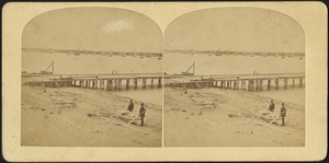
View of the water and bridge, with buildings in the background
96.
View of the water and bridge, with pedestrians and buildings in the background
97.
The waterfront above the bridge in 1850
98.
Weymouth, Massachusetts, lumber yard ship boat
99.
Whaling ship at dock
100.
Whaling ship Progress
« Previous
Next »
1
2
3
4
5
…
30
31
Limit your search
Subject
Harbors
2,915
Boats
953
Piers & wharves
531
Islands
272
Waterfronts
236
Ships
235
Harbors--Provincetown--Mass
201
Provincetown (Mass.)--History--20th century
184
more
Subject
»
Place
North and Central America
2,653
United States
2,594
Massachusetts
2,185
Essex (county)
763
Barnstable (county)
643
Suffolk (county)
378
Boston Harbor
276
Newburyport
268
more
Place
»
Format
Photographs
1,827
Postcards/Cards
621
Prints
241
Maps/Atlases
179
Documents
103
Newspapers
54
Paintings
33
Drawings/Illustrations
26
more
Format
»
Available to use
No known restrictions
1,005
Creative Commons license
992
Date
View distribution
Current results range from
1723
to
2002
Date range begin
Date range end
View larger »
Unknown
240
Collection
Boston Pictorial Archive (Collection of Distinction)
372
Falmouth Public Library Historical Postcard Collection
313
Bill Lane Photograph Collection
310
Samuel Chamberlain Photograph Negatives Collection, 1928-1971, undated
297
Tichnor Brothers Postcard Collection
214
Nautical Chart Collection of the Chatham Historical Society
167
John Dowd Althea Boxell Collection
161
Arthur Griffin Photographs
118
more
Collection
»
Institution
Boston Public Library
1,224
Phillips Library at the Peabody Essex Museum
317
Falmouth Public Library
313
Newburyport Public Library
310
Provincetown History Preservation Project
210
Atwood Museum of the Chatham Historical Society
167
Griffin Museum of Photography
118
New Bedford Free Public Library
84
more
Institution
»
![Boston, from State Street block, [illegible]](https://bpldcassets.blob.core.windows.net/derivatives/images/commonwealth:ww72c4062/image_thumbnail_300.jpg)
![Piereas [i.e. Piraeus]](https://bpldcassets.blob.core.windows.net/derivatives/images/commonwealth:5q47v7143/image_thumbnail_300.jpg)
![Prov[idence] River](https://bpldcassets.blob.core.windows.net/derivatives/images/commonwealth:wh247404t/image_thumbnail_300.jpg)