Skip to search
Skip to main content
Skip to first result
Digital Commonwealth
Folders
Sign Up / Log In
Search for
Search
Search
Search
Basic
Advanced
Explore
Map
Collections
Institutions
Formats
For Educators
Primary Source Sets
Lesson Plans
Using Primary Sources
Searching Digital Commonwealth
For Institutions
Join Digital Commonwealth
Conferences, Trainings, & Events
How to Contribute Collections
Digitization Services
Board & Committees
Frequently Asked Questions
About
About Digital Commonwealth
News & Announcements
Copyright & Terms of Use
Harmful Content Statement
Partners
API
Contact Us
Search
Search Constraints
Start Over
Save Search
Your search:
More Like
commonwealth:8s45qj813
✖
Remove constraint More Like: commonwealth:8s45qj813
« Prev. |
1
-
100
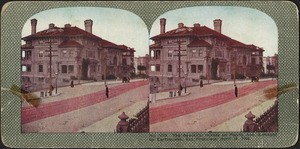
of
27,241
|
Next »
Sort
by relevance
relevance
title
date (asc)
date (desc)
Number of results to display per page
100
per page
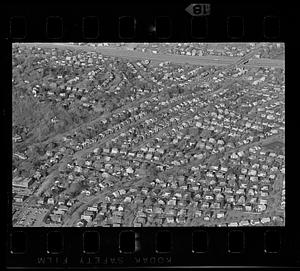
per page
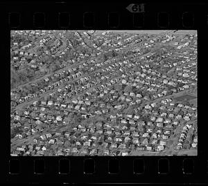
10
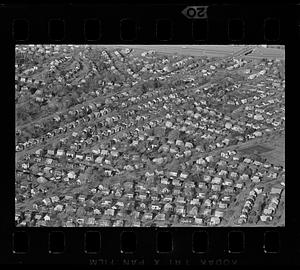
per page
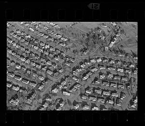
20
per page
50
per page
100
per page
View results as:
List
list view
Maps
map view
Gallery
grid view
Search Results
1.
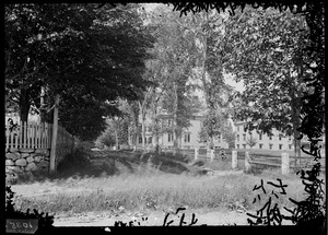
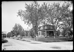
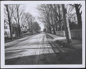
View of Maple Street, Bridgewater, Massachusetts
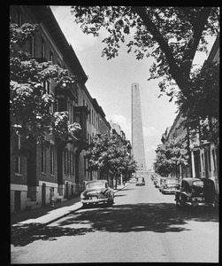
2.
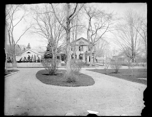
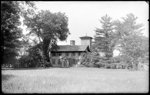
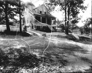
Bowman House
3.
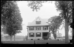
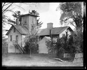
Boyden's house, Groveside
4.
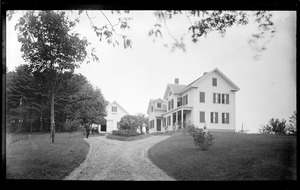
Dunphey House, Main Street
5.
Henry Carver house
6.
House
7.
Lowe House, Pleasant Street
8.
Lowe House, Pleasant Street
9.
Marshall House
10.
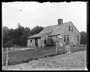
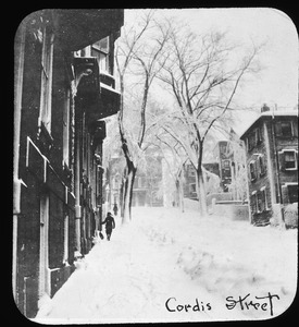
Old House
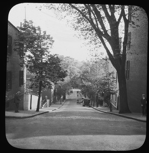
11.
Prophett House
12.
School Street
13.
Shaw House (front)
14.
Shaw House (rear)
15.
Unidentified house
16.
Washburn House, Forest Street
17.
#101 Williams St. view looking westerly from in front of #110, July 7, 1936
18.
#11 Highland Ct. looking NWly from street, Oct. 16, 1935
19.
#115 Williams St. view looking westerly from street, July 7, 1936
20.
#12 Pagum St. looking SWly from northerly side of st., Dec. 9, 1936
21.
#1291 Salem St. view looking SEly from junction of Brentwood St. and Salem St., July 18, 1936
22.
#13 + #17 Preston St. looking NEly, July 26, 1935
23.
#154-156 Columbia St. looking NWly from street, 9/10/35
24.
#16 + #22 Gordon St. view looking NEly, Sept. 23, 1933
25.
#16 Pagum St. looking SWly from northernly side of st., Dec. 9, 1936
26.
161 Lincoln Street
27.
#164 Columbia St. looking NWly from street, 9/10/35
28.
#165 Columbia St looking NE from street, 9/10/35
29.
#169 Columbia St. looking easterly from Columbia St., 9/10/35
30.
#191 Columbia St. looking easterly from street, 9/10/35
31.
#20 Preston St., July 26, 1935, looking westerly from street
32.
#30 Pagum St. and #169 + 170 Columbia looking SWly from N side of Pagum St., Dec. 9, 1936
33.
#31 Preston St., July 26, 1935, looking easterly from street
34.
#33 and 27 Pagum St. looking NEly from S side of street, Dec. 9, 1936
35.
#41 Pagum St. looking NEly from S side of street opposite #46, Dec. 9, 1936
36.
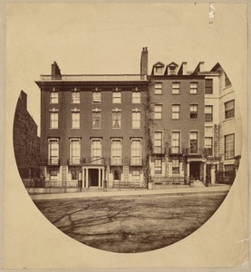
45 Beacon Street, Boston
37.
#52 and #50 Marshall St. looking n'wly, Nov. 1, 1935
38.
#7 + #11 Oakdale Rd. looking NEly, June 4, 1935
39.
#7-9 Meridian Parkway looking SEly, Nov. 1, 1935
40.
#85 Williams St. view looking SWly from junction of Nichols Rd. and Williams St., July 7, 1936
41.
Aerial view - waterfront
42.
Agassiz Park. Jamaica Plain, Massachusetts
43.
Aldworth Street. Jamaica Plain, Massachusetts
44.
Beacon Hill Place, from Bowdoin St., 1855. Razed June, 1893
45.
Beacon St., looking towards Charles St.
46.
Beacon St., looking west from State House
47.
Beacon St. opposite the Public Garden
48.
Beacon Street, Boston
49.
Beacon Street, looking west from corner of Charles Street
50.
The beautiful homes on Pacific Ave. damaged by earthquake, San Francisco, April 18, 1906
51.
Belmore Terrace. Jamaica Plain, Massachusetts
52.
Beltran (Oak) St. looking Sly from Glen Rock St., Sept. 10, 1935
53.
Beltran St. (Oak) looking northerly From Dutton St., Sept. 10, 1935
54.
Billings Street
55.
Bishop Street. Jamaica Plain, Massachusetts
56.
Boston, Massachusetts. Corner Boylston and Park Square
57.
Boston, Massachusetts. Louisburg Square. West side, showing corner of Mt. Vernon Street
58.
Boston suburban aerial view, Belmont
59.
Boston suburban aerial view, Belmont
60.
Boston suburban aerial view, Belmont
61.
Boston suburban aerial view, Belmont
62.
Boston suburban aerial view, Belmont
63.
Boston suburban aerial view (unspecified location), unspecified Boston suburb
64.
Boston suburban aerial view (unspecified location), unspecified Boston suburb
65.
Boston suburban aerial view (unspecified location), unspecified Boston suburb
66.
Boston suburban aerial view (unspecified location), unspecified Boston suburb
67.
Boston suburban aerial view (unspecified location), unspecified Boston suburb
68.
Boston suburban aerial view (unspecified location), unspecified Boston suburb
69.
Boston suburban aerial view (unspecified location), unspecified Boston suburb
70.
Boston suburban aerial view (unspecified location), unspecified Boston suburb
71.
Boston suburban aerial view (unspecified location), unspecified Boston suburb
72.
Boston suburban aerial view (unspecified location), unspecified Boston suburb
73.
Boston suburban aerial view (unspecified location), unspecified Boston suburb
74.
Boston suburban aerial view (unspecified location), unspecified Boston suburb
75.
Boston suburban aerial view (unspecified location), unspecified Boston suburb
76.
Boston suburban aerial view (unspecified location), unspecified Boston suburb
77.
Boston suburban aerial view (unspecified location), unspecified Boston suburb
78.
Boston suburban aerial view (unspecified location), unspecified Boston suburb
79.
Brentwood St. and Salem St. SW corner view looking southerly, July 18, 1936
80.
Brentwood St. view looking northerly from street near Grant Rd., July 18, 1936
81.
Brentwood St. view looking Sly from in front of #12, July 18, 1936
82.
Bunker Hill Monument from shadow of elm on Monument Avenue
83.
Burr Street. Jamaica Plain, Massachusetts
84.
Burroughs Street. Jamaica Plain, Massachusetts
85.
Las Casas St., 10 July '97
86.
Chambers Street in the West End, Boston
87.
Charles St. N. Middlesex
88.
Charles Street
89.
Chauncy St. from Exeter Place
90.
Clifton at Kernwood west
91.
"Col. Samuel Jaques house"
92.
Columbia looking Nly from Cherry St., 9/10/35
93.
Columbia St. looking southerly from Sylvan St., Sept. 10, 1935
94.
Commonwealth Ave.: Near Dartmouth St.
95.
Concord Avenue near Lexington Street
96.
Constance St. view looking NEly from Home St., Sept. 23, 1933
97.
Constance St. view looking SW from Bowman St., Sept. 23, 1933
98.
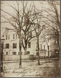
Cor. Kingston St. & Summer St., 1851
99.
Cordis Street
100.
Cordis Street in summer, 1941
« Previous
Next »
1
2
3
4
5
…
272
273
Limit your search
Subject
Houses
26,810
Historic buildings
1,310
Streets
1,224
Trees
1,075
Interiors
994
Automobiles
867
Residential streets
702
Snow
558
more
Subject
»
Place
North and Central America
25,358
United States
25,260
Massachusetts
23,952
Norfolk (county)
10,401
Needham
9,026
Suffolk (county)
4,803
Boston
4,688
Essex (county)
3,021
more
Place
»
Format
Photographs
25,063
Postcards/Cards
1,417
Prints
550
Drawings/Illustrations
159
Ephemera
71
Manuscripts
53
Documents
41
Paintings
40
more
Format
»
Available to use
No known restrictions
13,898
Creative Commons license
8,723
Date
View distribution
Current results range from
1659
to
2020
Date range begin
Date range end
View larger »
Unknown
241
Collection
Needham Historical House Collection
8,979
Bainbridge Bunting Photograph Collection
2,836
Frank Cousins Glass Plate Negatives Collection, 1890-1920
1,541
Historical Society of Old Yarmouth Archives and Local History Collection
1,533
Boston Pictorial Archive (Collection of Distinction)
844
Bill Lane Photograph Collection
808
Leon Abdalian Collection
720
Parker Collection
694
more
Collection
»
Institution
Needham Free Public Library
9,022
Boston Public Library
7,259
Historical Society of Old Yarmouth
1,616
Phillips Library at the Peabody Essex Museum
1,592
Newburyport Public Library
808
Thomas Crane Public Library
717
Hamilton Historical Society
651
Arlington Historical Society
622
more
Institution
»