Search
Search Results
- Format:
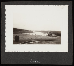
- Photographs
- Collection:
- Nina Heald Webber Cape Cod Canal collection (MS028)
- Date:
- 2012
- Institution:
- Historic New England
- Creator:
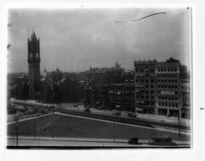
- Boston Transit Commission
- Format:
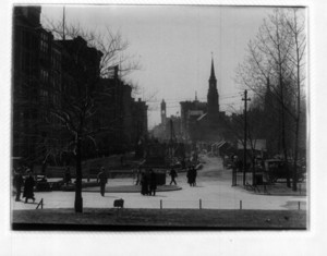
- Photographs
- Collection:
- Boston Transit Archive, 1895-1960s (PC017)
- Date:
- 1986
- Institution:
- Historic New England
- Creator:
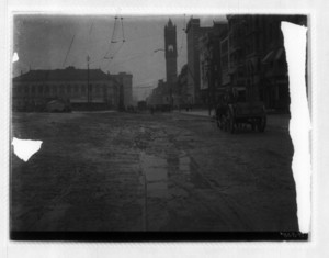
- Boston Transit Commission
- Format:
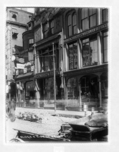
- Photographs
- Collection:
- Boston Transit Archive, 1895-1960s (PC017)
- Date:
- 1986
- Institution:
- Historic New England
- Creator:
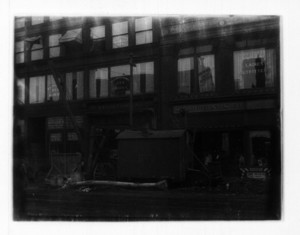
- Boston Transit Commission
- Format:
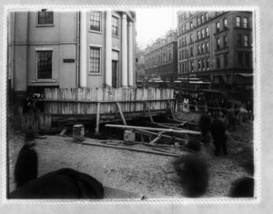
- Photographs
- Collection:
- Boston Transit Archive, 1895-1960s (PC017)
- Date:
- 1986
- Institution:
- Historic New England
- Format:
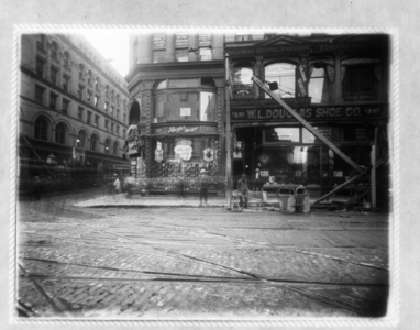
- Photographs
- Collection:
- Boston Transit Archive, 1895-1960s (PC017)
- Date:
- 1986
- Institution:
- Historic New England
- Creator:
- Boston Transit Commission
- Format:
- Photographs
- Collection:
- Boston Transit Archive, 1895-1960s (PC017)
- Date:
- 1986
- Institution:
- Historic New England
- Creator:
- Boston Transit Commission
- Format:
- Photographs
- Collection:
- Boston Transit Archive, 1895-1960s (PC017)
- Date:
- 1986
- Institution:
- Historic New England
- Creator:
- Boston Transit Commission
- Format:
- Photographs
- Collection:
- Boston Transit Archive, 1895-1960s (PC017)
- Date:
- 1986
- Institution:
- Historic New England
- Creator:
- Boston Transit Commission
- Format:
- Photographs
- Collection:
- Boston Transit Archive, 1895-1960s (PC017)
- Date:
- 1986
- Institution:
- Historic New England
- Creator:
- Boston Elevated Railway
- Format:
- Photographs
- Collection:
- Boston Transit Archive, 1895-1960s (PC017)
- Date:
- 1986
- Institution:
- Historic New England
- Creator:
- Boston Transit Commission
- Format:
- Photographs
- Collection:
- Boston Transit Archive, 1895-1960s (PC017)
- Date:
- 1986
- Institution:
- Historic New England
- Creator:
- Boston Transit Commission
- Format:
- Photographs
- Collection:
- Boston Transit Archive, 1895-1960s (PC017)
- Date:
- 1986
- Institution:
- Historic New England
- Creator:
- Boston Transit Commission
- Format:
- Photographs
- Collection:
- Boston Transit Archive, 1895-1960s (PC017)
- Date:
- 1986
- Institution:
- Historic New England
- Creator:
- Boston Transit Commission
- Format:
- Photographs
- Collection:
- Boston Transit Archive, 1895-1960s (PC017)
- Date:
- 1986
- Institution:
- Historic New England
- Creator:
- Boston Transit Commission
- Format:
- Photographs
- Collection:
- Boston Transit Archive, 1895-1960s (PC017)
- Date:
- 1986
- Institution:
- Historic New England
- Creator:
- Boston Transit Commission
- Format:
- Photographs
- Collection:
- Boston Transit Archive, 1895-1960s (PC017)
- Date:
- 1986
- Institution:
- Historic New England
- Creator:
- Hall, Raymond Viner; American Iron and Steel Institute
- Format:
- Books; Ephemera
- Collection:
- Ephemera collection (EP001)
- Date:
- 1951
- Institution:
- Historic New England
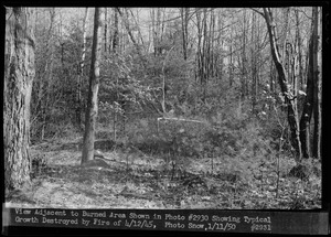
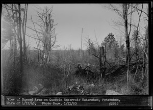
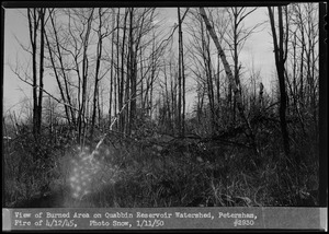
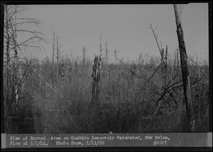
- Creator:
- Massachusetts. Metropolitan District Commission. Water Division; Snow, Russell, 1902-1969
- Format:
- Photographs
- Collection:
- Massachusetts Metropolitan District Water Supply Commission, Quabbin Reservoir, Photographs of Real Estate in the Swift River Valley, and of General Engineering of Quabbin Reservoir, 1927-1950
- Date:
- January 11, 1950
- Institution:
- Massachusetts Archives
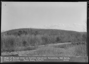
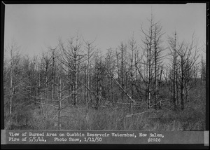
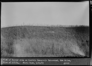
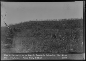
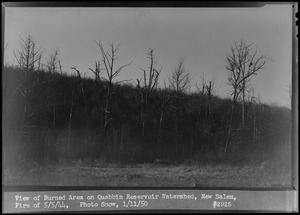
- Creator:
- Massachusetts. Metropolitan District Water Supply Commission; Massachusetts. Metropolitan District Commission. Water Division
- Format:
- Maps/Atlases
- Collection:
- Massachusetts Metropolitan District Water Supply Commission, Quabbin Reservoir, Photographs of Real Estate in the Swift River Valley, and of General Engineering of Quabbin Reservoir, 1927-1950
- Date:
- January 1950
- Institution:
- Massachusetts Archives
- Creator:
- Massachusetts. Metropolitan District Commission. Water Division; Snow, Russell, 1902-1969
- Format:
- Photographs
- Collection:
- Massachusetts Metropolitan District Water Supply Commission, Quabbin Reservoir, Photographs of Real Estate in the Swift River Valley, and of General Engineering of Quabbin Reservoir, 1927-1950
- Date:
- December 20, 1949
- Institution:
- Massachusetts Archives
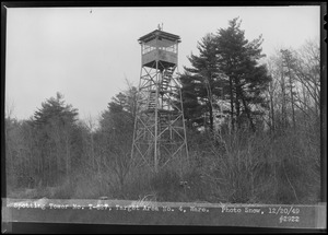
- Creator:
- Massachusetts. Metropolitan District Commission. Water Division; Snow, Russell, 1902-1969
- Format:
- Photographs
- Collection:
- Massachusetts Metropolitan District Water Supply Commission, Quabbin Reservoir, Photographs of Real Estate in the Swift River Valley, and of General Engineering of Quabbin Reservoir, 1927-1950
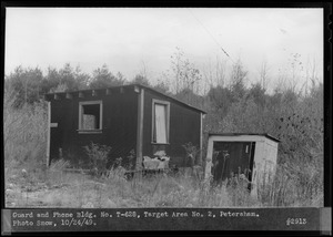
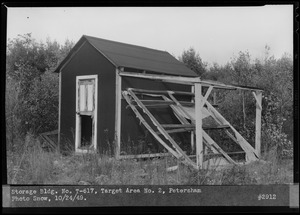
- Date:
- October 24, 1949
- Institution:
- Massachusetts Archives
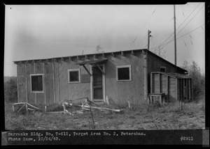
- Creator:
- Massachusetts. Metropolitan District Commission. Water Division; Snow, Russell, 1902-1969
- Format:
- Photographs
- Collection:
- Massachusetts Metropolitan District Water Supply Commission, Quabbin Reservoir, Photographs of Real Estate in the Swift River Valley, and of General Engineering of Quabbin Reservoir, 1927-1950
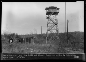
- Date:
- October 24, 1949
- Institution:
- Massachusetts Archives
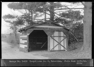
- Creator:
- Massachusetts. Metropolitan District Commission. Water Division; Snow, Russell, 1902-1969
- Format:
- Photographs
- Collection:
- Massachusetts Metropolitan District Water Supply Commission, Quabbin Reservoir, Photographs of Real Estate in the Swift River Valley, and of General Engineering of Quabbin Reservoir, 1927-1950
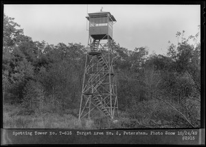
- Date:
- October 24, 1949
- Institution:
- Massachusetts Archives
- Creator:
- Massachusetts. Metropolitan District Commission. Water Division; Snow, Russell, 1902-1969
- Format:
- Photographs
- Collection:
- Massachusetts Metropolitan District Water Supply Commission, Quabbin Reservoir, Photographs of Real Estate in the Swift River Valley, and of General Engineering of Quabbin Reservoir, 1927-1950
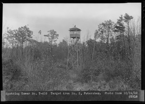
- Date:
- October 24, 1949
- Institution:
- Massachusetts Archives
- Creator:
- Massachusetts. Metropolitan District Commission. Water Division; Snow, Russell, 1902-1969
- Format:
- Photographs
- Collection:
- Massachusetts Metropolitan District Water Supply Commission, Quabbin Reservoir, Photographs of Real Estate in the Swift River Valley, and of General Engineering of Quabbin Reservoir, 1927-1950
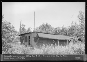
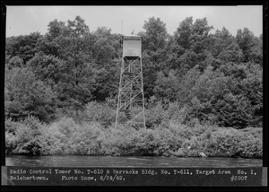
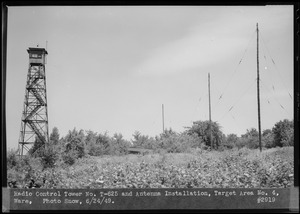
- Date:
- June 24, 1949
- Institution:
- Massachusetts Archives
- Creator:
- Massachusetts. Metropolitan District Commission. Water Division; Snow, Russell, 1902-1969
- Format:
- Photographs
- Collection:
- Massachusetts Metropolitan District Water Supply Commission, Quabbin Reservoir, Photographs of Real Estate in the Swift River Valley, and of General Engineering of Quabbin Reservoir, 1927-1950
- Date:
- August 25, 1948
- Institution:
- Massachusetts Archives
- Creator:
- Massachusetts. Metropolitan District Commission. Water Division; Albertine, Louis G., 1908-1998
- Format:
- Photographs
- Collection:
- Massachusetts Metropolitan District Water Supply Commission, Quabbin Reservoir, Photographs of Real Estate in the Swift River Valley, and of General Engineering of Quabbin Reservoir, 1927-1950
- Date:
- August 10, 1948
- Institution:
- Massachusetts Archives
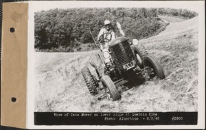
- Creator:
- Massachusetts. Metropolitan District Commission. Water Division; Albertine, Louis G., 1908-1998
- Format:
- Photographs
- Collection:
- Massachusetts Metropolitan District Water Supply Commission, Quabbin Reservoir, Photographs of Real Estate in the Swift River Valley, and of General Engineering of Quabbin Reservoir, 1927-1950
- Date:
- August 9, 1948
- Institution:
- Massachusetts Archives
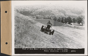
- Creator:
- Massachusetts. Metropolitan District Commission. Water Division; Albertine, Louis G., 1908-1998
- Format:
- Photographs
- Collection:
- Massachusetts Metropolitan District Water Supply Commission, Quabbin Reservoir, Photographs of Real Estate in the Swift River Valley, and of General Engineering of Quabbin Reservoir, 1927-1950
- Date:
- August 9, 1948
- Institution:
- Massachusetts Archives
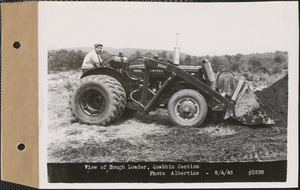
- Creator:
- Massachusetts. Metropolitan District Commission. Water Division; Albertine, Louis G., 1908-1998
- Format:
- Photographs
- Collection:
- Massachusetts Metropolitan District Water Supply Commission, Quabbin Reservoir, Photographs of Real Estate in the Swift River Valley, and of General Engineering of Quabbin Reservoir, 1927-1950
- Date:
- August 4, 1948
- Institution:
- Massachusetts Archives