Skip to search
Skip to main content
Skip to first result
Digital Commonwealth
Folders
Sign Up / Log In
Search for
Search
Search
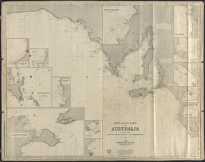
Search
Basic
Advanced
Explore
Map
Collections
Institutions
Formats
For Educators
Primary Source Sets
Lesson Plans
Using Primary Sources
Searching Digital Commonwealth
For Institutions
Join Digital Commonwealth
Conferences, Trainings, & Events
How to Contribute Collections
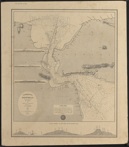
Digitization Services
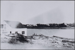
Board & Committees
Frequently Asked Questions
About
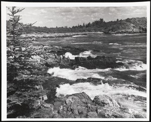
About Digital Commonwealth
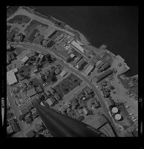
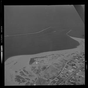
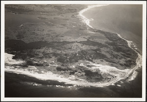
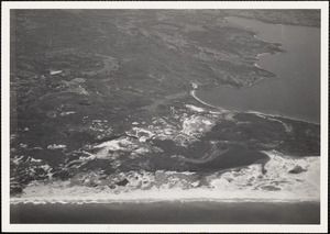
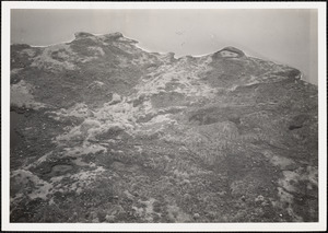
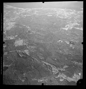
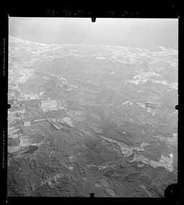
News & Announcements
Copyright & Terms of Use
Harmful Content Statement
Partners
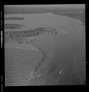
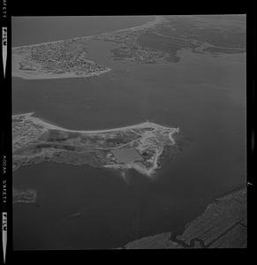
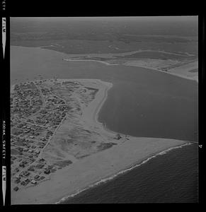
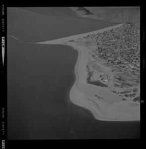
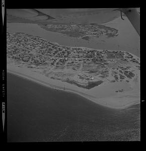
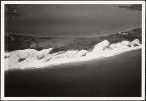
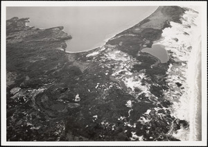
API
Contact Us
Search
Search Constraints
Start Over
Save Search
Your search:
More Like
commonwealth:5138jp219
✖
Remove constraint More Like: commonwealth:5138jp219
« Prev. |
1
-
100
of
1,033
|
Next »
Sort
by relevance
relevance
title
date (asc)
date (desc)
Number of results to display per page
100
per page
per page
10
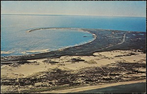
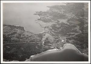
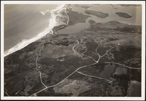
per page
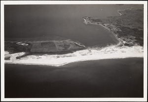
20
per page
50
per page
100
per page
View results as:
List
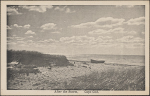
list view
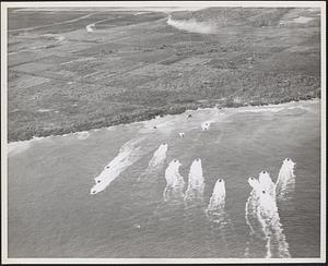
Maps
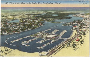
map view
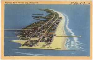
Gallery
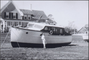
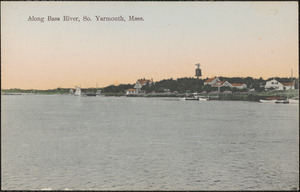
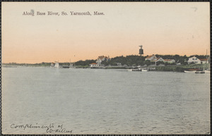
grid view
Search Results
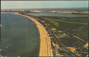
1.
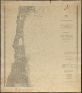
Atlantic Coast, Cape Hatteras to Key West
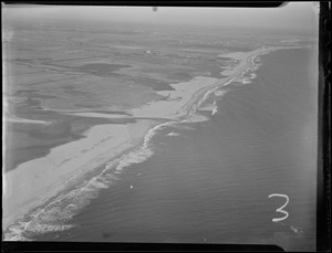
2.
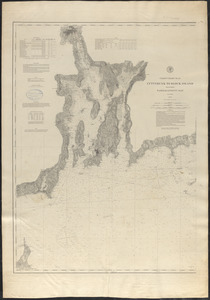
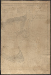
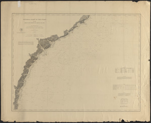
Atlantic Coast, Cape Sable to Cape Hatteras
3.
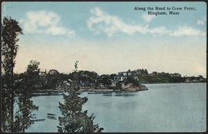
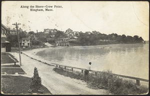
Atlantic Coast, Cape Sable to Cape Hatteras
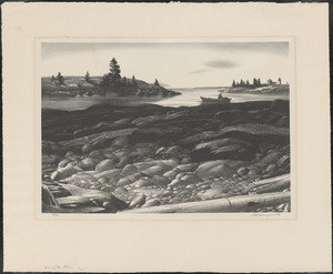
4.
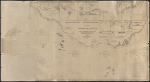
Chart of the coast of Africa from the Strait of Gibraltar to Sierra Leone
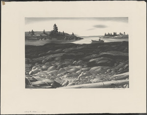
5.
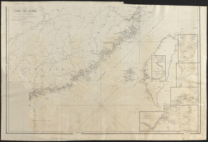
Chart of the coast of China, from the Canton River to the Yang Tze Keang
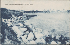
6.
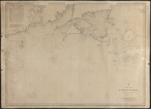
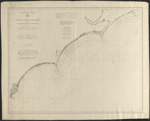
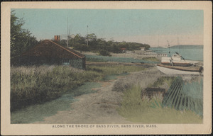
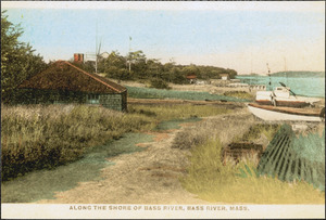
Coast of the United States from New York to Cape Ann
7.
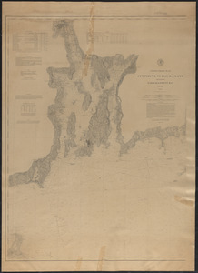
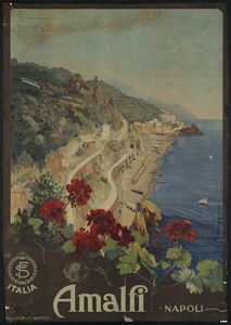
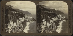
Cuttyhunk to Block Island including Narragansett Bay
8.
Cuttyhunk to Block Island including Narragansett Bay
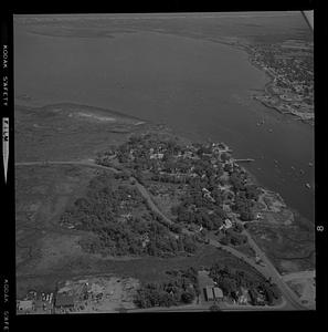
9.
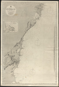
East coast of Australia, New South Wales, Beecroft Head to Port Jackson
10.
East coast of Australia, New South Wales, Port Jackson to Port Stephens
11.
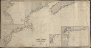
East coast of North America
12.
East coast of North America from Cape Canso to Delaware Bay
13.
From Chincoteague Inlet to Hog Island
14.
From Monomoy and Nantucket Shoals to Muskeget Channel
15.
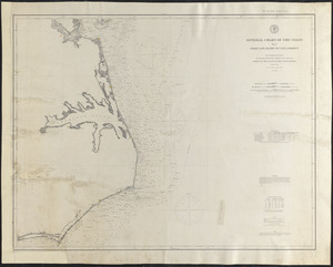
General chart of the coast from Cape Hatteras to Cape Romain
16.
General chart of the coast from Cape Henry to Cape Lookout
17.
General chart of the coast from Cape Romain to Amelia Island
18.
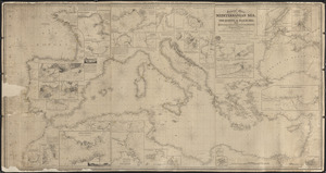
General chart of the Mediterranean Sea and a portion of the Euxine or Black Sea with particular plans of the principal harbors
19.
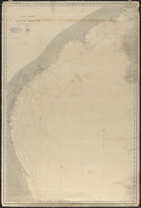
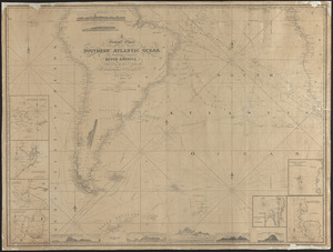
A general chart of the southern Atlantic Ocean and western coast of South America
20.
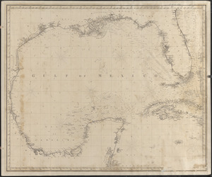
Gulf of Mexico
21.
Laurie's general chart of the coasts of Brasil, &c. from the River Para to Buenos Ayres with particular plans of the harbours
22.
The north coast of the Gulf of Mexico for St. Marks to Galveston
23.
The north eastern coast of North America, New York to Cape Canso, including Sable Island
24.
Rio de la Plata
25.
South and east coasts of Australia, chart no. 1, Australian Bight to Cape Northumberland
26.
Vaarwaters van Soerabaja
27.
1944 Hurricane, Bass River
28.
1944 Hurricane, Bass River
29.
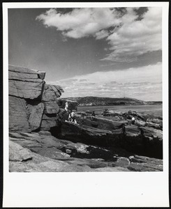
Acadia National Park, ME. Near Anemone Cave
30.
Acadia National Park, ME. Thunder Hole
31.
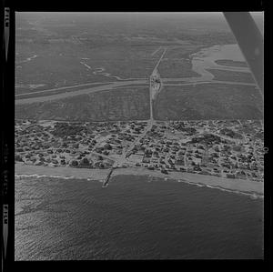
Aerial of Plum Island center erosion
32.
Aerial of Plum Island center erosion or Gloucester harbor
33.
Aerial of Plum Island center erosion or Gloucester harbor
34.
Aerial of Plum Island center erosion or Gloucester harbor
35.
Aerial of Plum Island Point and Ring’s Island river mouth erosion
36.
Aerial of Plum Island Point and Ring’s Island river mouth erosion
37.
Aerial of Plum Island Point and Ring’s Island river mouth erosion
38.
Aerial of Plum Island Point and Ring’s Island river mouth erosion
39.
Aerial of Plum Island Point and Ring’s Island river mouth erosion
40.
Aerial of Plum Island Point and Ring’s Island river mouth erosion
41.
Aerial of Plum Island Point and Ring’s Island river mouth erosion
42.
Aerial of Plum Island Point and Ring’s Island river mouth erosion
43.
Aerial of Plum Island Point and Ring’s Island river mouth erosion
44.
Aerial of Plum Island Point and Ring’s Island river mouth erosion
45.
Aerial of Plum Island Point and Ring’s Island river mouth erosion
46.
Aerial of Plum Island Point and Ring’s Island river mouth erosion
47.
Aerial photos of coastline, Hurricane of 38
48.
Aerial photos of coastline, Hurricane of 38
49.
Aerial photos of coastline, Hurricane of 38
50.
Aerial photos of coastline, Hurricane of 38
51.
Aerial photos of coastline, Hurricane of 38
52.
Aerial photos of coastline, Hurricane of 38
53.
Aerial photos of coastline, Hurricane of 38
54.
Aerial photos of coastline, Hurricane of 38
55.
Aerial photos of coastline, Hurricane of 38
56.
Aerial photos of coastline, Hurricane of 38
57.
Aerial photos of coastline, Hurricane of 38
58.
Aerial view of Cape Cod Light, Truro, National Seashore, Cape Cod, Mass.
59.
Aerial view of Cape Cod Light, Truro, National Seashore, Cape Cod, Mass.
60.
Aerial view of Cape Cod Light, Truro, National Seashore, Cape Cod, Mass.
61.
Aerial view of Green Harbor, Baxter Ave., West Yarmouth, Mass.
62.
Aerial view of harbor and coast
63.
Aerial view of Nantasket Beach, Fairchild Aerial
64.
Aerial view of NDF Station
65.
Aerial view of outer Cape Cod
66.
Aerial view of Squibnocket Pond
67.
Aerial view of Squibnocket Pond
68.
Aerial view of Squibnocket Pond
69.
Aerial view of Squibnocket Pond
70.
Aerial view of Squibnocket Pond
71.
Aerial view of Squibnocket Pond
72.
Aerial view of Squibnocket Pond
73.
Aerial view of Squibnocket Pond
74.
After the storm, Cape Cod
75.
Air photo of 1st wave hitting beach - Tinian
76.
Air view, Bahia Mar Yacht Basin, Fort Lauderdale, Florida
77.
Airplane view, Ocean City, Maryland
78.
Along Bass River, South Yarmouth, Mass.
79.
Along Bass River, South Yarmouth, Mass.
80.
Along Cape Cod Bay and Pilgrim Lake, North Truro, Cape Cod
81.
Along Maine beach
82.
Along Maine beach
83.
Along the coast
84.
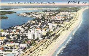
Along the coast at Ft. Lauderdale beach, Florida
85.
Along the road to Crow Point, Hingham, Mass.
86.
Along the shore
87.
Along the shore
88.
Along the shore, Crow Point, Hingham, Mass.
89.
Along the shore from Gortahork, Tory Island and Inishbofin [i.e. Inisbofin] in the distance
90.
Along the shore, Hyannis Park, Hyannis, Mass.
91.
Along the shore of Bass River
92.
Along the shore of the Bass River
93.
Amalfi - Napoli
94.
Amalfi, Sorrento Peninsula, Italy
95.
Annisquam, marine
96.
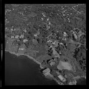
Area near Hingham, MA
97.
Area near Hingham, MA
98.
Arecibo, P. R.
99.
Around the shore from Gortahork, Co. Donegal. Tory Island and Inishbofin [i.e. Inisbofin] (where Professor Kingsley Porter...
100.
Asquith murder: Quincy police pulling body from harbor
« Previous
Next »
1
2
3
4
5
…
10
11
Limit your search
Subject
Coastlines
892
Bodies of water
178
Houses
146
Boats
111
Rivers
110
Beaches
102
Seas
96
Harbors
90
more
Subject
»
Place
North and Central America
816
United States
798
Massachusetts
564
Barnstable (county)
192
Essex (county)
160
Yarmouth
97
South Yarmouth
86
Plum Island
83
more
Place
»
Format
Photographs
584
Postcards/Cards
177
Maps/Atlases
177
Prints
75
Posters
12
Paintings
11
Drawings/Illustrations
7
Albums/Scrapbooks
3
more
Format
»
Available to use
Creative Commons license
452
No known restrictions
271
Date
View distribution
Current results range from
1764
to
2001
Date range begin
Date range end
View larger »
Unknown
1
Collection
Nautical Chart Collection of the Chatham Historical Society
167
Historical Society of Old Yarmouth Archives and Local History Collection
154
Bill Lane Photograph Collection
107
Tichnor Brothers Postcard Collection
84
Leslie Jones Collection
55
Arthur Griffin Photographs
51
Samuel Chamberlain Photograph Negatives Collection, 1928-1971, undated
39
Basil Welch Collection
35
more
Collection
»
Institution
Boston Public Library
358
Atwood Museum of the Chatham Historical Society
167
Historical Society of Old Yarmouth
165
Newburyport Public Library
107
Griffin Museum of Photography
51
Phillips Library at the Peabody Essex Museum
50
Martha's Vineyard Museum
35
Hingham Public Library
24
more
Institution
»

![Along the shore from Gortahork, Tory Island and Inishbofin [i.e. Inisbofin] in the distance](https://bpldcassets.blob.core.windows.net/derivatives/images/commonwealth:1544br56g/image_thumbnail_300.jpg)
![Around the shore from Gortahork, Co. Donegal. Tory Island and Inishbofin [i.e. Inisbofin] (where Professor Kingsley Porter disappeared) in the distance](https://bpldcassets.blob.core.windows.net/derivatives/images/commonwealth:zk521120s/image_thumbnail_300.jpg)