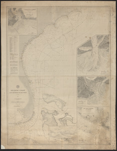
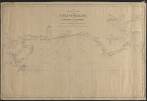
Gulf of Mexico
Item Information
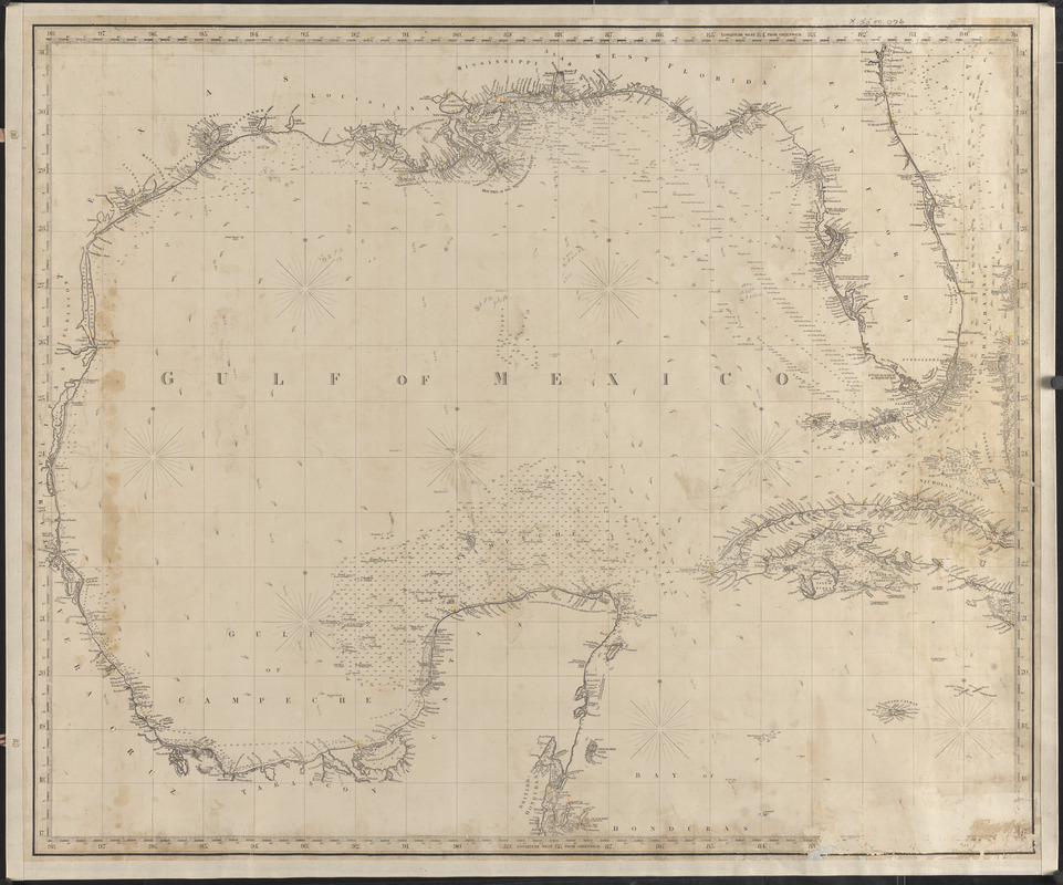
- Title:
- Gulf of Mexico
- Cartographer:
- Chas. Copley & Sons
- Name on Item:
-
Chas. Copley & Sons, hydrographers
- Date:
-
1872
- Format:
-
Maps/Atlases
- Genre:
-
Nautical charts
- Location:
- Atwood Museum of the Chatham Historical Society
- Collection (local):
-
Nautical Chart Collection of the Atwood Museum, Chatham Historical Society
- Subjects:
-
Coastlines
Bays (Bodies of water)
- Places:
-
Mexico, Gulf of
- Extent:
- 1 map ; 74 x 90 cm
- Permalink:
- https://ark.digitalcommonwealth.org/ark:/50959/5138jp13m
- Terms of Use:
-
No known copyright restrictions.
This work is licensed for use under a Creative Commons Attribution Non-Commercial No Derivatives License (CC BY-NC-ND).