Search

Limit your search
- Cities & towns7,973
- Lakes & ponds3,790
- Streets854
- Boats772
- Rivers702
- Parks653
- Waterfronts452
- Bridges418
- North and Central America9,736
- United States9,567
- Massachusetts6,166
- Suffolk (county)2,600
- Boston2,456
- Europe1,270
- Essex (county)955
- Norfolk (county)753
- Photographs6,627
- Postcards/Cards3,823
- Prints1,322
- Drawings/Illustrations150
- Manuscripts126
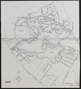
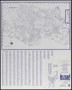
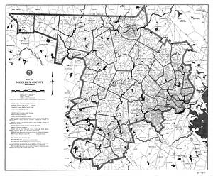
- Maps/Atlases116
- Paintings87
- Documents60