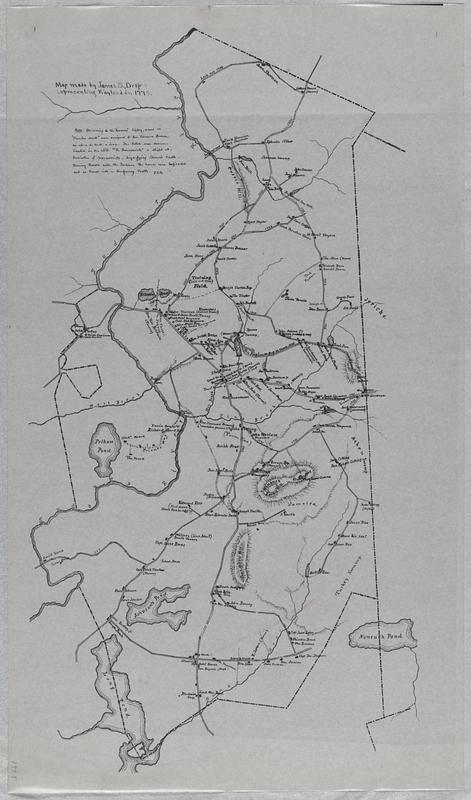
Map made by James S. Draper representing Wayland in 1775
Map made by James S. Draper representing Wayland in 1775
Item Information
Title:
Map made by James S. Draper representing Wayland in 1775
Title (alt.):
Wayland in 1775
Description:
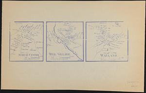
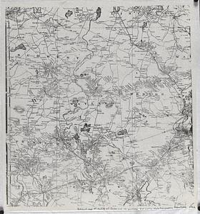
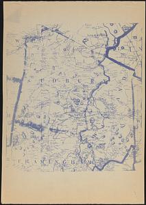
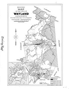
Map drawn by James S. Draper from his research showing where the East Sudbury roads, rivers, ponds, schools, taverns, roads that no longer exist, and houses were located in 1775. The homes are identified by the owners' name. Some include the occupation of the owners. History of the Rev. Edmund Brown's house is given. This map was created at a later date.
 IIIF Manifest