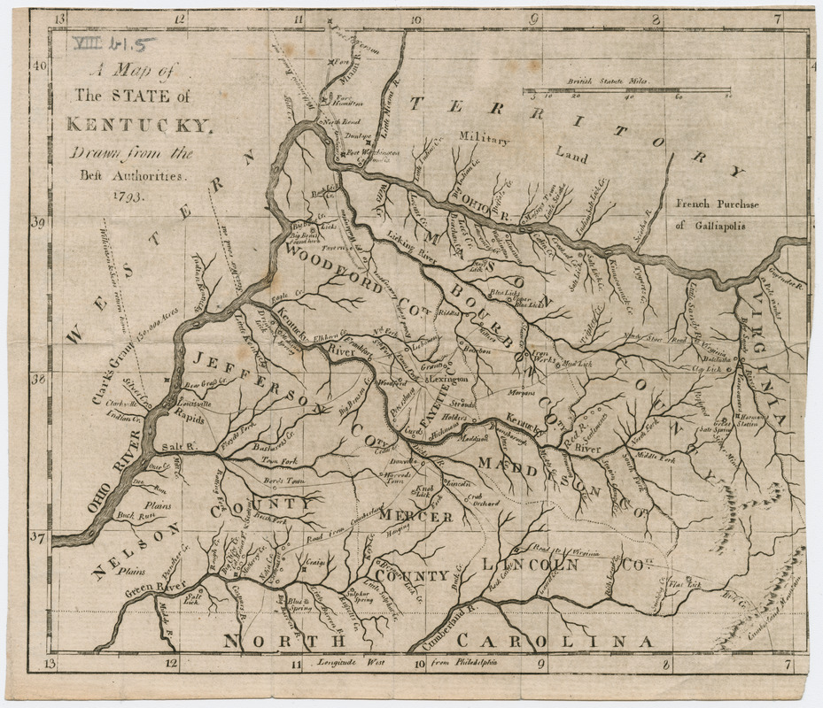
A map of the state of Kentucky
Item Information
- Title:
- A map of the state of Kentucky
- Date:
-
[1793]
- Format:
-
Maps/Atlases
- Location:
- Massachusetts Historical Society
- Collection (local):
-
Massachusetts Historical Society Collection
- Subjects:
-
Kentucky--Maps
- Places:
-
Kentucky
- Extent:
- 1 map ; 15 x 18 cm.
- Permalink:
- https://ark.digitalcommonwealth.org/ark:/50959/z603vm75w
- Terms of Use:
-
No known copyright restrictions.
This work is licensed for use under a Creative Commons Attribution Non-Commercial Share Alike License (CC BY-NC-SA).


