Skip to search
Skip to main content
Digital Commonwealth
Sign Up / Log In
Search for
Search
Search
Search
Basic
Advanced
Explore
Map
Collections
Institutions
Formats
For Educators
Primary Source Sets
Lesson Plans
Using Primary Sources
Searching Digital Commonwealth
For Institutions
Join Digital Commonwealth
Conferences, Trainings, & Events
How to Contribute Collections
Digitization Services
Board & Committees
Frequently Asked Questions
About
About Digital Commonwealth
News & Announcements
Copyright & Terms of Use
Harmful Content Statement
Partners
API
Contact Us
Boston Public Library
Norman B. Leventhal Map Center Collection
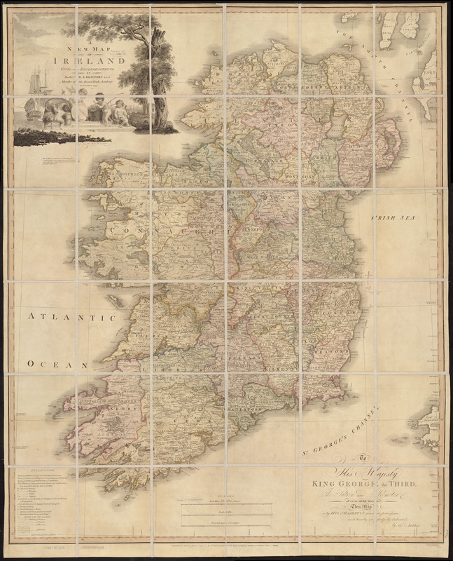
A new map of Ireland : civil and ecclesiastical
A new map of Ireland
×
Item Information
Title:
A new map of Ireland : civil and ecclesiastical
Creator:
Beaufort, Daniel Augustus, 1739-1821
Name on Item:
D. A. Beaufort.
Date:
1797
Format:
Maps/Atlases
Location:
Boston Public Library
Norman B. Leventhal Map Center
Collection (local):
Norman B. Leventhal Map Center Collection
Subjects:
Ireland--Maps--Early works to 1800
Places:
Ireland
Extent:
1 map : hand col. ; 109 x 89 cm.
Permalink:
https://ark.digitalcommonwealth.org/ark:/50959/ww72bp98x
Terms of Use:
No known copyright restrictions.
No known restrictions on use.
Publisher:
London ; Dublin : Wm. Faden ; William Allen
Edition:
2nd edition.
Scale:
Scale [ca 1:490,000]
Language:
Italian
Notes:
Relief shown by hachures.
Indexed.
"S.I. Neele sculp."
Identifier:
06_01_007053
Call #:
G5780 1797 .B43
Barcode:
39999059029379
LCCN:
2004629002
show more...
View MODS XML
More Like This
An epitome of Sr. William Petty's large survey of Ireland divided ...
Irlandiae regnum
Irlandiæ regnum
Magnae Britanniae et Hiberniae Tabula
Find More Like This >>
Tools
Share
Facebook
Pinterest
X
Reddit
Tumblr
Email
Copy link
Add to Folder
Questions/Comments
Cite This Item
IIIF Manifest
Downloads
Primary (full resolution, uncompressed)
(TIF, 1.14 GB)
Large (full resolution)
(JPEG, 98.2 MB)
Medium
(JPEG, 211 KB)