Skip to search
Skip to main content
Digital Commonwealth
Sign Up / Log In
Search for
Search
Search
Search
Basic
Advanced
Explore
Map
Collections
Institutions
Formats
For Educators
Primary Source Sets
Lesson Plans
Using Primary Sources
Searching Digital Commonwealth
For Institutions
Join Digital Commonwealth
Conferences, Trainings, & Events
How to Contribute Collections
Digitization Services
Board & Committees
Frequently Asked Questions
About
About Digital Commonwealth
News & Announcements
Copyright & Terms of Use
Harmful Content Statement
Partners
API
Contact Us
State Library of Massachusetts
Massachusetts Real Estate Atlases
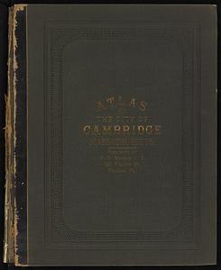
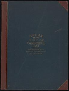
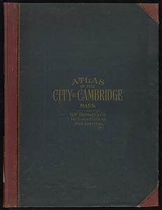
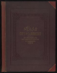
Atlas of the city of Cambridge, Massachusetts
Read online
Item Information
Title:
Atlas of the city of Cambridge, Massachusetts
Publisher:
Hopkins, Griffith Morgan, Jr.
Name on Item:
from official records, private plans and actual surveys
Date:
1886
Format:
Maps/Atlases
Location:
State Library of Massachusetts
Collection (local):
Massachusetts Real Estate Atlases
Subjects:
Cambridge (Mass.)--Maps
Real property--Massachusetts--Cambridge--Maps
Landowners--Massachusetts--Cambridge--Maps
Buildings--Massachusetts--Brookline--Maps
Places:
Middlesex (county)
>
Cambridge
Extent:
1 atlas : color ; 47 cm
Permalink:
https://ark.digitalcommonwealth.org/ark:/50959/th83pn196
Terms of Use:
Prior written permission required to use any image from the digital collections of the State Library of Massachusetts.
Contact host institution for more information.
Publisher:
Philadelphia : G.M. Hopkins & Co.
Language:
English
Referenced by:
Catalog record
Identifier:
Atlas-Mass-Cambridge_1886
show more...
View MODS XML
More Like This
Atlas of the city of Cambridge, Massachusetts
Atlas of the city of Cambridge, Massachusetts
Atlas of the city of Cambridge, Massachusetts
Atlas of the city of Cambridge, Middlesex Co., Massachusetts
Find More Like This >>
Tools
Share
Facebook
Pinterest
X
Reddit
Tumblr
Email
Copy link
Add to Folder
Questions/Comments
Cite This Item
IIIF Manifest