State Library of Massachusetts
Massachusetts Real Estate Atlases
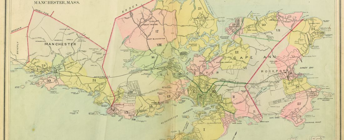
The State Library's collection of Massachusetts real estate atlases is one of the most heavily-used resources in the Library. The volumes, most of which date from the late 19th and early 20th centuries, document the development of neighborhoods over time. They provide information about property boundaries, plot sizes, ownership, building shapes, and materials. The atlases are used by genealogists, environmental consultants, architectural historians, and the general public researching the history of their home.
The Library's collection includes approximately 200 atlases, covering 6,500 maps in 12 counties and more than 80 municipalities throughout Massachusetts. For more information about the Real Estate Atlas digitization project, visit the State Library's website.
The Library's collection includes approximately 200 atlases, covering 6,500 maps in 12 counties and more than 80 municipalities throughout Massachusetts. For more information about the Real Estate Atlas digitization project, visit the State Library's website.