Skip to search
Skip to main content
Digital Commonwealth
Sign Up / Log In
Search for
Search
Search
Search
Basic
Advanced
Explore
Map
Collections
Institutions
Formats
For Educators
Primary Source Sets
Lesson Plans
Using Primary Sources
Searching Digital Commonwealth
For Institutions
Join Digital Commonwealth
Conferences, Trainings, & Events
How to Contribute Collections
Digitization Services
Board & Committees
Frequently Asked Questions
About
About Digital Commonwealth
News & Announcements
Copyright & Terms of Use
Harmful Content Statement
Partners
API
Contact Us
Boston Public Library
Norman B. Leventhal Map Center Collection
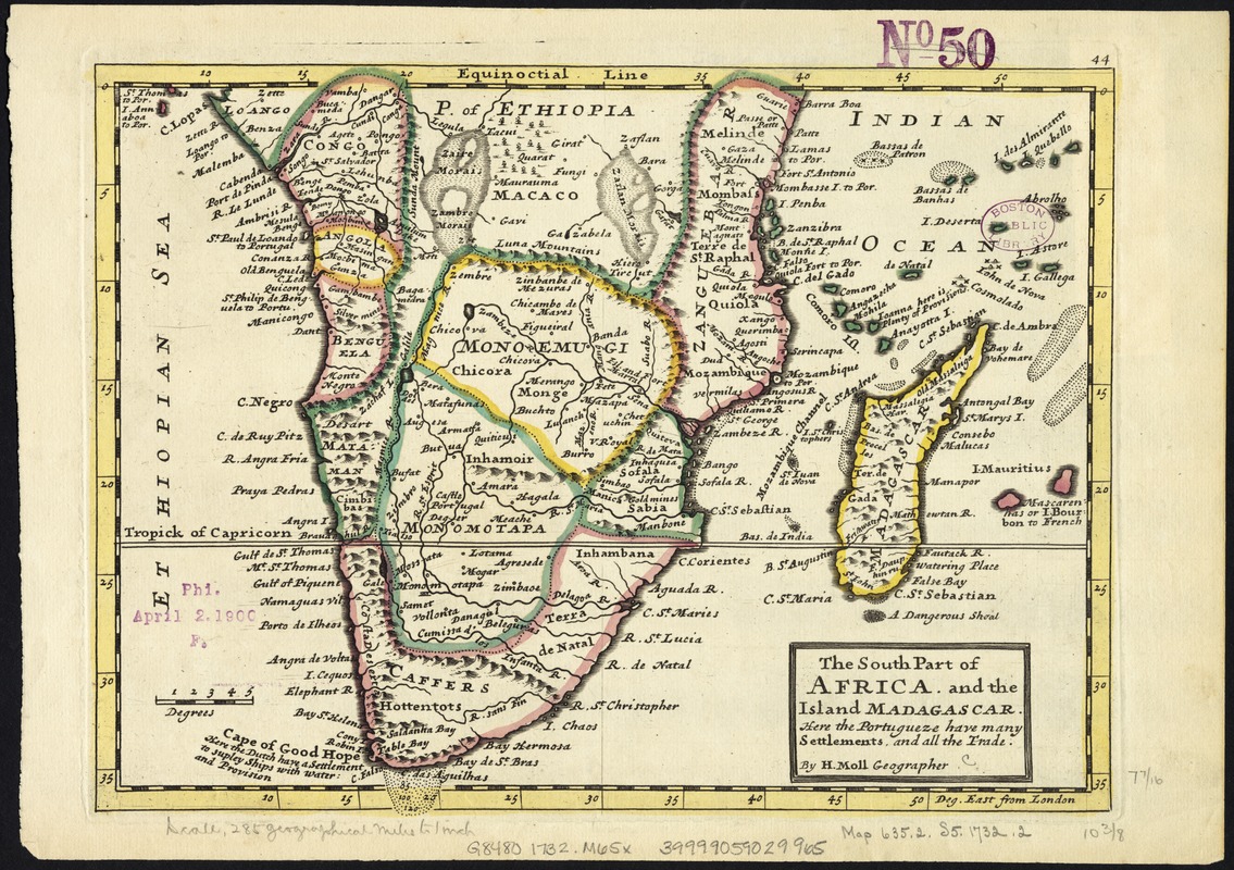
The south part of Africa, and the island of Madagascar : here the Portugueze have many settlements and all the trade
The south part of Africa, and the island of Madagascar
×
Item Information
Title:
The south part of Africa, and the island of Madagascar : here the Portugueze have many settlements and all the trade
Creator:
Moll, Herman, d. 1732
Publisher:
Bowles, John, 1701-1779
Publisher:
Bowles, Thomas, 1694-1773
Name on Item:
by H. Moll ...
Date:
[1732–1736]
Format:
Maps/Atlases
Location:
Boston Public Library
Norman B. Leventhal Map Center
Collection (local):
Norman B. Leventhal Map Center Collection
Subjects:
Africa, Southern--Maps--Early works to 1800
Madagascar--Maps--Early works to 1800
Places:
Southern Africa
(area)
Madagascar
Extent:
1 map : col. ; 21 x 27 cm.
Permalink:
https://ark.digitalcommonwealth.org/ark:/50959/kk91fq31d
Terms of Use:
No known copyright restrictions.
No known restrictions on use.
Publisher:
London : Printed for Tho. Bowles and John Bowles
Scale:
Scale [1:20,000,000].
Language:
English
Notes:
Relief shown pictorially.
Numbered 44.
London meridian.
Appears in the author's Atlas minor. London: Printed for Tho. Bowles and John Bowles, 1732? or 1736?.
Africa, south of the Equator, with Madagascar.
Notes (date):
This date is inferred.
Identifier:
06_01_007147
Call #:
G8480 1732 .M65x
Barcode:
39999059029965
show more...
View MODS XML
More Like This
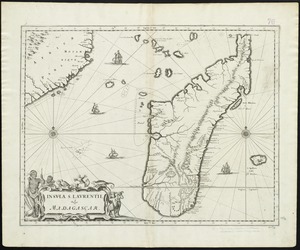
Insula S. Laurentii, vulgo Madagascar
Aethiopia inferior, vel exterior : partes magis septentrionales, ...
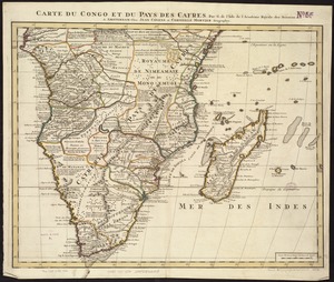
Carte du Congo et du Pays des Cafres
The 100th anniversary map of Abraham Lincoln's visit to ...
Find More Like This >>
Tools
Share
Facebook
Pinterest
X
Reddit
Tumblr
Email
Copy link
Add to Folder
Questions/Comments
Cite This Item
IIIF Manifest
Downloads
Primary (full resolution, uncompressed)
(TIF, 127 MB)
Large (full resolution)
(JPEG, 10.7 MB)
Medium
(JPEG, 419 KB)