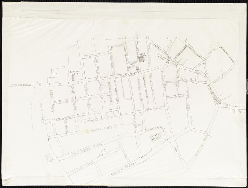
Map of Boston's West End
Item Information
- Title:
- Map of Boston's West End
- Date:
-
[ca. 1900–1990]
- Format:
-
Drawings/Illustrations
Maps/Atlases
- Genre:
-
Pencil works
- Location:
-
Boston Public Library
Arts Department - Collection (local):
-
Boston Pictorial Archive
- Series:
- Neighborhoods West End
- Subjects:
-
Neighborhoods
- Places:
-
MassachusettsSuffolk (county)Boston
West End
- Extent:
- 1 drawing : pencil ; 15 x 20 1/4 in.
- Permalink:
- https://ark.digitalcommonwealth.org/ark:/50959/j9604j31s
- Terms of Use:
-
Rights status not evaluated.
This work is licensed for use under a Creative Commons Attribution Non-Commercial No Derivatives License (CC BY-NC-ND).