Skip to search
Skip to main content
Digital Commonwealth
Sign Up / Log In
Search for
Search
Search
Search
Basic
Advanced
Explore
Map
Collections
Institutions
Formats
For Educators
Primary Source Sets
Lesson Plans
Using Primary Sources
Searching Digital Commonwealth
For Institutions
Join Digital Commonwealth
Conferences, Trainings, & Events
How to Contribute Collections
Digitization Services
Board & Committees
Frequently Asked Questions
About
About Digital Commonwealth
News & Announcements
Copyright & Terms of Use
Harmful Content Statement
Partners
API
Contact Us
Boston Public Library
Norman B. Leventhal Map Center Collection
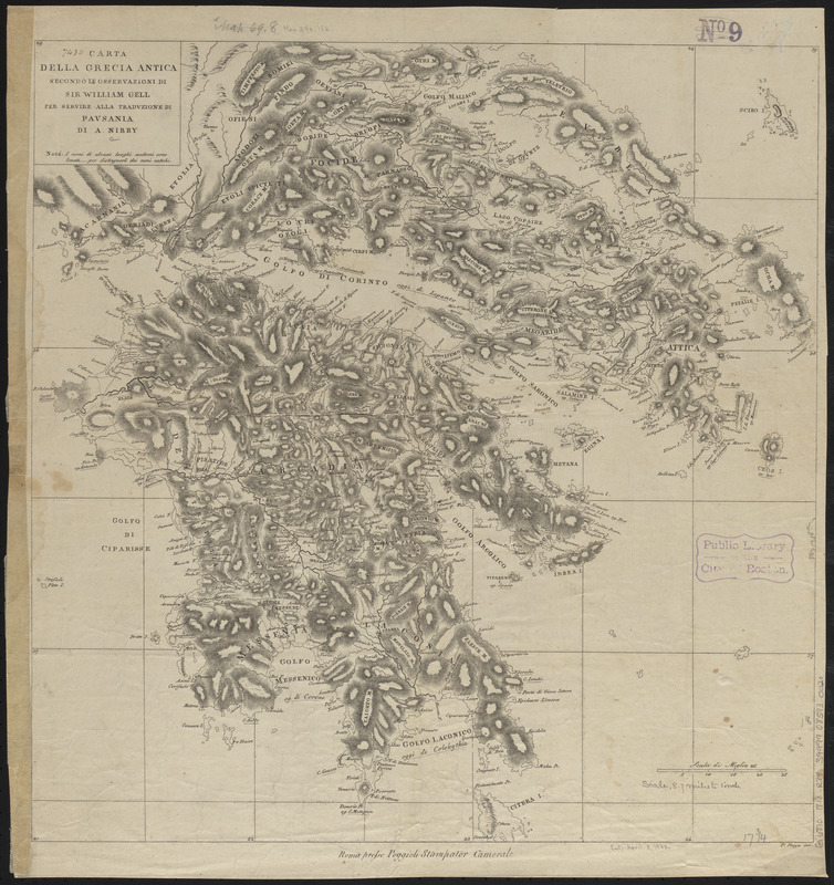
Carta della Grecia antica secondo le osservazioni di Sir William Gell per servire alla traduzione di Pausania di A. Nibby
Carta della Grecia antica secondo le osservazioni di Sir William Gell per servire alla traduzione di Pausania di A. Nibby
×
Item Information
Title:
Carta della Grecia antica secondo le osservazioni di Sir William Gell per servire alla traduzione di Pausania di A. Nibby
Cartographer:
Ruga, Pietro
Author:
Pausanias, active approximately 150-175
Publisher:
Poggioli, Vincenzo, active 1797-1831
Name on Item:
P. Ruga inc.
Date:
[ca. 1817–1818]
Format:
Maps/Atlases
Location:
Boston Public Library
Norman B. Leventhal Map Center
Collection (local):
Norman B. Leventhal Map Center Collection
Subjects:
Greece--Historical geography--Maps
Places:
Greece
Extent:
1 map ; 46 x 45 cm
Permalink:
https://ark.digitalcommonwealth.org/ark:/50959/ht250984z
Terms of Use:
No known copyright restrictions.
No known restrictions on use.
Publisher:
Roma : Presso Poggioli Stampator Camerale
Scale:
Scale approximately 1:640,000
Language:
Italian
Notes:
Relief shown by hachures.
From A. Nibby's Descrizione della Grecia di Pausania nuovamente dal testo greco. Roma: Presso Vincenzo Poggioli Stampatore della R.C.A., 1817-18.
Identifier:
06_01_015057
Call #:
G6810 1818 .R84
Barcode:
39999085930020
show more...
View MODS XML
More Like This
The 100th anniversary map of Abraham Lincoln's visit to ...
1630 shoreline
1879. Progress map of the U.S. Geographical Surveys west of the ...
1903 Map of Salem and surrounding places
Find More Like This >>
Tools
Share
Facebook
Pinterest
X
Reddit
Tumblr
Email
Copy link
Add to Folder
Questions/Comments
Cite This Item
IIIF Manifest
Downloads
Primary (full resolution, uncompressed)
(TIF, 82.7 MB)
Large (full resolution)
(JPEG, 6.94 MB)
Medium
(JPEG, 264 KB)