Skip to search
Skip to main content
Digital Commonwealth
Sign Up / Log In
Search for
Search
Search
Search
Basic
Advanced
Explore
Map
Collections
Institutions
Formats
For Educators
Primary Source Sets
Lesson Plans
Using Primary Sources
Searching Digital Commonwealth
For Institutions
Join Digital Commonwealth
Conferences, Trainings, & Events
How to Contribute Collections
Digitization Services
Board & Committees
Frequently Asked Questions
About
About Digital Commonwealth
News & Announcements
Copyright & Terms of Use
Harmful Content Statement
Partners
API
Contact Us
Boston Public Library
Norman B. Leventhal Map Center Collection
/
Urban Maps (Collection of Distinction)
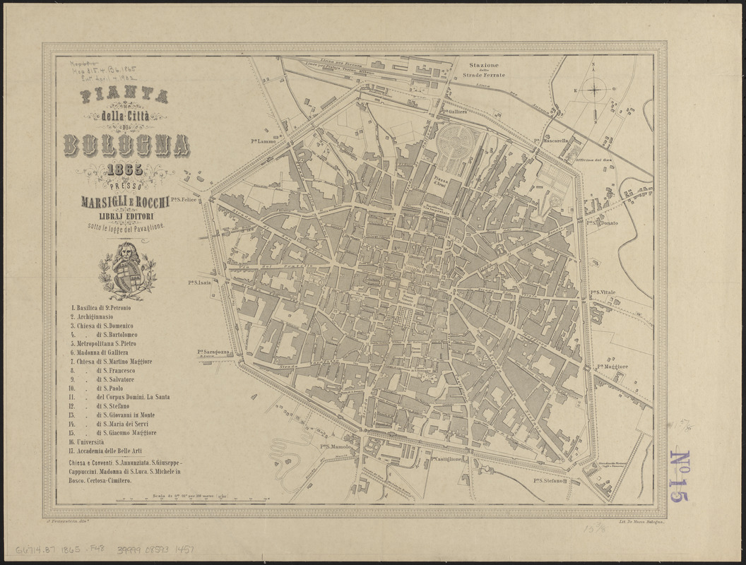
Pianta della città di Bologna
Pianta della città di Bologna
×
Item Information
Title:
Pianta della città di Bologna
Cartographer:
Feuerstein, J.
Lithographer:
De Maria
Publisher:
Marsigli e Rocchi
Name on Item:
J. Feuerstein, diso.
Date:
1865
Format:
Maps/Atlases
Location:
Boston Public Library
Norman B. Leventhal Map Center
Collection (local):
Norman B. Leventhal Map Center Collection
Subjects:
Bologna (Italy)--Maps
Places:
Romagna
(region)
>
Bologna
(province)
>
Bologna
Extent:
1 map ; 30 x 40 cm
Permalink:
https://ark.digitalcommonwealth.org/ark:/50959/ht250918c
Terms of Use:
No known copyright restrictions.
No known restrictions on use.
Publisher:
[Bologna] : presso Marsigli e Rocchi
Scale:
Scale 1:10,000
Language:
Italian
Notes:
Includes key to points of interest.
Identifier:
06_01_015110
Call #:
G6714.B7 1865 .F48
Barcode:
39999085931457
show more...
View MODS XML
More Like This
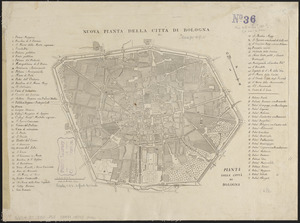
Pianta della città di Bologna
The 100th anniversary map of Abraham Lincoln's visit to ...
1630 shoreline
1879. Progress map of the U.S. Geographical Surveys west of the ...
Find More Like This >>
Tools
Share
Facebook
Pinterest
X
Reddit
Tumblr
Email
Copy link
Add to Folder
Questions/Comments
Cite This Item
IIIF Manifest
Downloads
Primary (full resolution, uncompressed)
(TIF, 116 MB)
Large (full resolution)
(JPEG, 9.72 MB)
Medium
(JPEG, 307 KB)