Skip to search
Skip to main content
Digital Commonwealth
Sign Up / Log In
Search for
Search
Search
Search
Basic
Advanced
Explore
Map
Collections
Institutions
Formats
For Educators
Primary Source Sets
Lesson Plans
Using Primary Sources
Searching Digital Commonwealth
For Institutions
Join Digital Commonwealth
Conferences, Trainings, & Events
How to Contribute Collections
Digitization Services
Board & Committees
Frequently Asked Questions
About
About Digital Commonwealth
News & Announcements
Copyright & Terms of Use
Harmful Content Statement
Partners
API
Contact Us
Boston Public Library
Norman B. Leventhal Map Center Collection
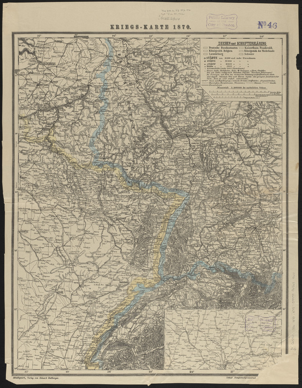
Kriegs-karte 1870
Kriegs-karte 1870
×
Item Information
Title:
Kriegs-karte 1870
Printer:
Schreiber, J. F. (Publisher)
Publisher:
Hallberger, Eduard, 1822-1880
Date:
[1870]
Format:
Maps/Atlases
Location:
Boston Public Library
Norman B. Leventhal Map Center
Collection (local):
Norman B. Leventhal Map Center Collection
Subjects:
Franco-Prussian War, 1870-1871--Maps
France--Maps
Germany--Maps
Places:
France
Germany
Extent:
1 map : color ; 61 x 49 cm
Permalink:
https://ark.digitalcommonwealth.org/ark:/50959/ht2505976
Terms of Use:
No known copyright restrictions.
No known restrictions on use.
Publisher:
Stuttgart : Eduard Hallberger
Scale:
Scale 1:1,000,000
Language:
German
Notes:
Relief shown by hachures.
Prime meridian: [Ferro].
Inset: Umgebung von Paris.
Notes (date):
This date is inferred.
Identifier:
06_01_014084
Call #:
G5831.S56 1870 .K75
Barcode:
39999065699611
show more...
View MODS XML
More Like This
Black's general map of the seat of war
Black's special war map
Detailed map of the seat of war from Chateau Salins to Mannheim & ...
Justus Perthes' übersichtskarte vom nordöstlichen Frankreich bis ...
Find More Like This >>
Tools
Share
Facebook
Pinterest
X
Reddit
Tumblr
Email
Copy link
Add to Folder
Questions/Comments
Cite This Item
IIIF Manifest
Downloads
Primary (full resolution, uncompressed)
(TIF, 66.3 MB)
Large (full resolution)
(JPEG, 5.57 MB)
Medium
(JPEG, 285 KB)