Skip to search
Skip to main content
Digital Commonwealth
Sign Up / Log In
Search for
Search
Search
Search
Basic
Advanced
Explore
Map
Collections
Institutions
Formats
For Educators
Primary Source Sets
Lesson Plans
Using Primary Sources
Searching Digital Commonwealth
For Institutions
Join Digital Commonwealth
Conferences, Trainings, & Events
How to Contribute Collections
Digitization Services
Board & Committees
Frequently Asked Questions
About
About Digital Commonwealth
News & Announcements
Copyright & Terms of Use
Harmful Content Statement
Partners
API
Contact Us
Boston Public Library
Norman B. Leventhal Map Center Collection
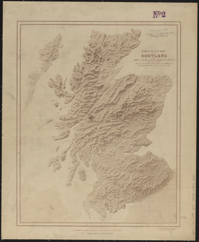
Photo relief map of Scotland
Photo relief map of Scotland
×
Item Information
Title:
Photo relief map of Scotland
Cartographer:
Brion, Henry F.
Cartographer:
McClure, Edmund, -1922
Publisher:
Society for Promoting Christian Knowledge (Great Britain)
Name on Item:
by Henry F. Brion and Revd. Edmund McClure, M.A.
Date:
1885
Format:
Maps/Atlases
Location:
Boston Public Library
Norman B. Leventhal Map Center
Collection (local):
Norman B. Leventhal Map Center Collection
Subjects:
Scotland--Maps
Places:
Scotland
Extent:
1 map ; 39 x 31 cm
Permalink:
https://ark.digitalcommonwealth.org/ark:/50959/ht250541b
Terms of Use:
No known copyright restrictions.
No known restrictions on use.
Publisher:
London : Society for Promoting Christian Knowledge
Scale:
Scale approximately 1:1,040,000
Language:
English
Notes:
Relief shown by shading.
In lower right: Photo relief map series no. 1. Patented no. 10487, 1885.
Identifier:
06_01_015040
Call #:
G5771.C1 1885 .B75
Barcode:
39999085930210
show more...
View MODS XML
More Like This
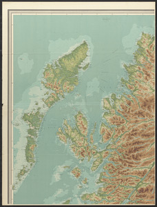
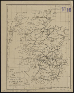
Orographical map of Scotland
Scotland
Scotland
Scotland with the principal roads from the best authorities
Find More Like This >>
Tools
Share
Facebook
Pinterest
X
Reddit
Tumblr
Email
Copy link
Add to Folder
Questions/Comments
Cite This Item
IIIF Manifest
Downloads
Primary (full resolution, uncompressed)
(TIF, 76.2 MB)
Large (full resolution)
(JPEG, 6.4 MB)
Medium
(JPEG, 153 KB)