Plan of Portsmouth N.H.
Item Information
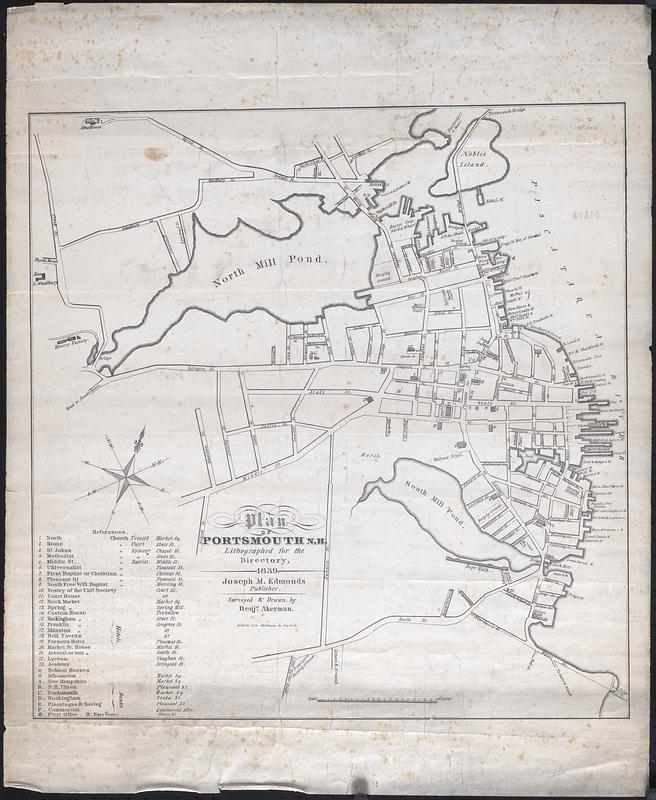
- Title:
- Plan of Portsmouth N.H.
- Description:
-
Plan of Portsmouth New Hampshire lithographed for the directory, includes streets and important structures.
- Creator:
- Akerman, Benjamin
- Name on Item:
-
Surveyed & drawn by Benjn. Akerman
- Date:
-
1839
- Format:
-
Maps/Atlases
- Genre:
-
Tourist maps
- Location:
-
New Bedford Free Public Library
Art Room. Cabinet: MC04, Drawer: DR09 (shelf locator) - Collection (local):
-
Map and Chart Collection
- Places:
-
New HampshireRockingham (county)Portsmouth
- Extent:
- 1 map ; 23 x 19 in.
- Permalink:
- https://ark.digitalcommonwealth.org/ark:/50959/gx41q749d
- Terms of Use:
-
Rights status not evaluated
This work is licensed for use under a Creative Commons Attribution Non-Commercial No Derivatives License (CC BY-NC-ND).