Skip to search
Skip to main content
Digital Commonwealth
Sign Up / Log In
Search for
Search
Search
Search
Basic
Advanced
Explore
Map
Collections
Institutions
Formats
For Educators
Primary Source Sets
Lesson Plans
Using Primary Sources
Searching Digital Commonwealth
For Institutions
Join Digital Commonwealth
Conferences, Trainings, & Events
How to Contribute Collections
Digitization Services
Board & Committees
Frequently Asked Questions
About
About Digital Commonwealth
News & Announcements
Copyright & Terms of Use
Harmful Content Statement
Partners
API
Contact Us
Boston Public Library
Norman B. Leventhal Map & Education Center Collection
Boston Public Library
Boston Public Library
×
Item Information
Title:
Boston Public Library
Cartographer:
Boston Public Library. Norman B. Leventhal Map Center
Name on Item:
Map created by the Norman B. Leventhal Map & Education Center at the Boston Public Library
Date:
2019
Format:
Maps/Atlases
Location:
Boston Public Library
Norman B. Leventhal Map & Education Center
Collection (local):
Norman B. Leventhal Map & Education Center Collection
Subjects:
Boston (Mass.)--Maps
Libraries--Massachusetts--Boston--Maps
Boston Public Library
Places:
Massachusetts
>
Suffolk (county)
>
Boston
Extent:
1 map : color
Permalink:
https://ark.digitalcommonwealth.org/ark:/50959/gb19h980w
Terms of Use:
No known copyright restrictions.
No known restrictions on use.
Publisher:
[Boston] : Norman B. Leventhal Map & Education Center
Language:
English
Notes:
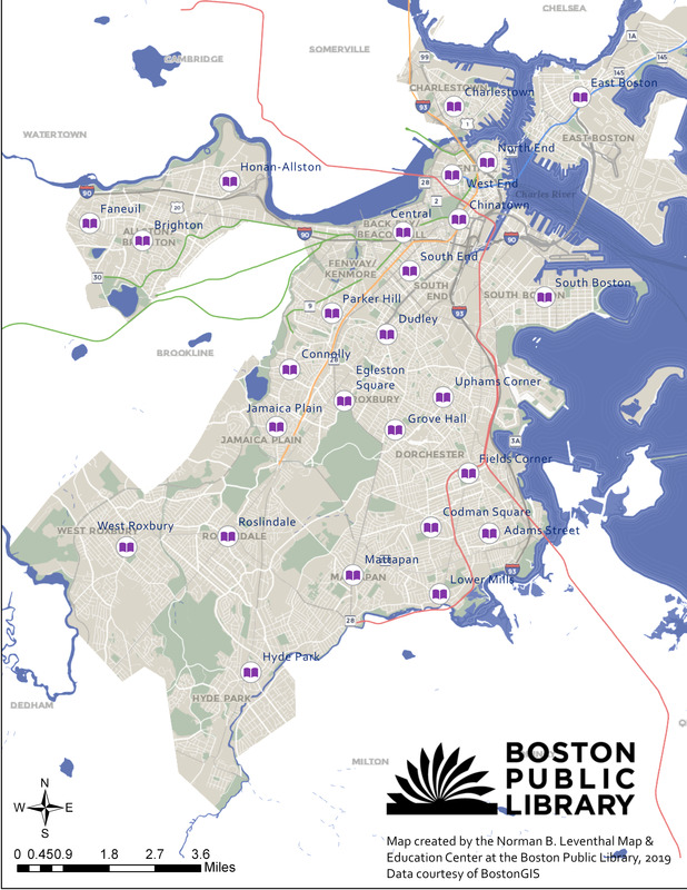
Shows locations of Boston Public Library branches.
"Data courtesy of BostonGIS."
Identifier:
BPL_Locations
show more...
View MODS XML
More Like This
Sketch map of Boston and the Public Library system
Sketch map of Boston and the Public Library system
Sketch map of Boston and the Public Library system
The Boston Public Libraries
Find More Like This >>
Tools
Share
Facebook
Pinterest
X
Reddit
Tumblr
Email
Copy link
Add to Folder
Questions/Comments
Cite This Item
IIIF Manifest
Downloads
Primary (full resolution, uncompressed)
(TIF, 9.49 MB)
Large (full resolution)
(JPEG, 816 KB)
Medium
(JPEG, 213 KB)