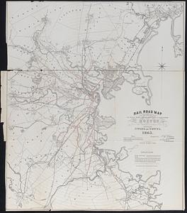
County Map, MA and RI
Item Information
- Title:
- County Map, MA and RI
- Description:
-
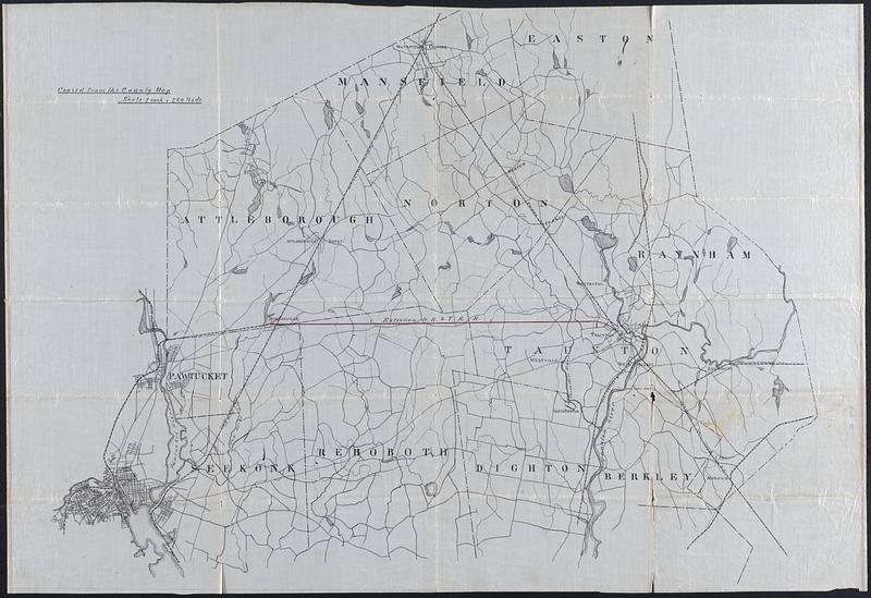
Hand drawn copy of a map of the counties and railroads of Massachusetts and Rhode Island. Note at top left "Copied from the county map, scale 1 inch = 240 rods. Black ink on semi-transparent coated paper
- Date:
-
[ca. 1900–1939]
- Format:
-
Maps/Atlases
Manuscripts
- Location:
-
New Bedford Free Public Library
Art Room. Cabinet: MC04, Drawer: DR09 (shelf locator) - Collection (local):
-
Map and Chart Collection
- Subjects:
-
Railroads
Counties
- Places:
-
Massachusetts
- Extent:
- 1 map : ms. ; 25 x 37 in.
- Permalink:
- https://ark.digitalcommonwealth.org/ark:/50959/bn99cx45n
- Terms of Use:
-
Rights status not evaluated
This work is licensed for use under a Creative Commons Attribution Non-Commercial No Derivatives License (CC BY-NC-ND).