Skip to search
Skip to main content
Digital Commonwealth
Sign Up / Log In
Search for
Search
Search
Search
Basic
Advanced
Explore
Map
Collections
Institutions
Formats
For Educators
Primary Source Sets
Lesson Plans
Using Primary Sources
Searching Digital Commonwealth
For Institutions
Join Digital Commonwealth
Conferences, Trainings, & Events
How to Contribute Collections
Digitization Services
Board & Committees
Frequently Asked Questions
About
About Digital Commonwealth
News & Announcements
Copyright & Terms of Use
Harmful Content Statement
Partners
API
Contact Us
Boston Public Library
Norman B. Leventhal Map Center Collection
/
Boston and New England Maps (Collection of Distinction)
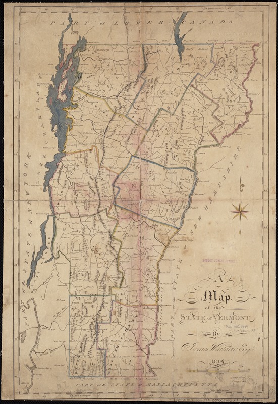
A map of the State of Vermont
A map of the State of Vermont
×
Item Information
Title:
A map of the State of Vermont
Creator:
Whitelaw, James, 1748-1829
Name on Item:
by James Whitelaw ; Snyder, sc.
Date:
1809
Format:
Maps/Atlases
Location:
Boston Public Library
Norman B. Leventhal Map Center
Collection (local):
Norman B. Leventhal Map Center Collection
Subjects:
Vermont--Maps
Places:
Vermont
Extent:
1 map : col. ; 45 x 29 cm.
Permalink:
https://ark.digitalcommonwealth.org/ark:/50959/9s161j27q
Terms of Use:
No known copyright restrictions.
No known restrictions on use.
Publisher:
S.l : [s.n.]
Scale:
Scale [ca. 1:700,000].
Language:
English
Notes:
Relief shown pictorially.
Identifier:
06_01_004294
Call #:
G3750 1809 .W5x
Barcode:
39999059005742
show more...
View MODS XML
More Like This
Colton's Vermont
Complete map of Vermont showing highways & natural features with ...
An improved map of Vermont : compiled from the latest authorities
Library map of Vermont, 1914
Find More Like This >>
Tools
Share
Facebook
Pinterest
X
Reddit
Tumblr
Email
Copy link
Add to Folder
Questions/Comments
Cite This Item
IIIF Manifest
Downloads
Primary (full resolution, uncompressed)
(TIF, 55.1 MB)
Large (full resolution)
(JPEG, 4.63 MB)
Medium
(JPEG, 197 KB)