Skip to search
Skip to main content
Digital Commonwealth
Sign Up / Log In
Search for
Search
Search
Search
Basic
Advanced
Explore
Map
Collections
Institutions
Formats
For Educators
Primary Source Sets
Lesson Plans
Using Primary Sources
Searching Digital Commonwealth
For Institutions
Join Digital Commonwealth
Conferences, Trainings, & Events
How to Contribute Collections
Digitization Services
Board & Committees
Frequently Asked Questions
About
About Digital Commonwealth
News & Announcements
Copyright & Terms of Use
Harmful Content Statement
Partners
API
Contact Us
Boston Public Library
Norman B. Leventhal Map & Education Center Collection
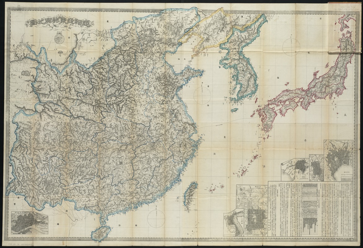
Ajia tōbu yochizu
Ajia tōbu yochizu
×
Item Information
Title:
Ajia tōbu yochizu
Creator:
Japan. Rikugun. . Sanbō Honbu
Date:
1875
Format:
Maps/Atlases
Location:
Boston Public Library
Norman B. Leventhal Map & Education Center
Collection (local):
Norman B. Leventhal Map & Education Center Collection
Subjects:
East Asia--Maps
Places:
East Asia
(area)
Extent:
1 map : col. ; 95 x 137 cm. fold. in cover 19 x 13 cm.
Permalink:
https://ark.digitalcommonwealth.org/ark:/50959/9s161j212
Terms of Use:
No known copyright restrictions.
No known restrictions on use.
Publisher:
Tokyo : [s.n.]
Scale:
Scale [ca. 1:3,000,000].
Language:
Japanese
Notes:
Cover title.
Copper plate, hand colored.
Relief shown by hachures.
Includes insets of Tokyo, Kyoto, Osaka, Peking, Shanghai, and Canton, and statistics of population, area and production for cities.
Japanese map of East Asia for military use.
Identifier:
06_01_004288
Call #:
G7800 1875 .J3
Barcode:
39999059005650
LCCN:
gm 71005104
show more...
View MODS XML
More Like This
East Asia
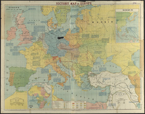
Europe, Africa and the Far East
Maps of the Far East, illustrating Russo-Japanese War
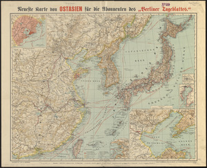
Neueste karte von Ostasien für die abonnenten des "Berliner ...
Find More Like This >>
Tools
Share
Facebook
Pinterest
X
Reddit
Tumblr
Email
Copy link
Add to Folder
Questions/Comments
Cite This Item
IIIF Manifest
Downloads
Primary (full resolution, uncompressed)
(TIF, 215 MB)
Large (full resolution)
(JPEG, 18 MB)
Medium
(JPEG, 397 KB)
GeoTIFF (georeferenced)
(TIF, 283 MB)