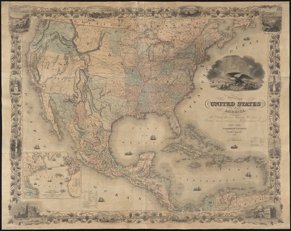
Relief shown by hachures.
Covers also parts of South America and Canada.
Shows cities and towns, Indian tribal areas, railroads, canals, drainage, etc.
Prime meridians: Washington, D.C. and Greenwich.
Inset: A map of the Atlantic Ocean showing the American & European ports and the routes of the ocean steamers.
Includes tables of distances.
"Entered according to Act of Congress in the year 1848 by J.H. Colton in the Clerk's Office of the District Court for the Southern District of New York."
Map surrounded by a decorative border of grapevines, historical vignettes, and U.S. buildings and monuments.