Skip to search
Skip to main content
Digital Commonwealth
Sign Up / Log In
Search for
Search
Search
Search
Basic
Advanced
Explore
Map
Collections
Institutions
Formats
For Educators
Primary Source Sets
Lesson Plans
Using Primary Sources
Searching Digital Commonwealth
For Institutions
Join Digital Commonwealth
Conferences, Trainings, & Events
How to Contribute Collections
Digitization Services
Board & Committees
Frequently Asked Questions
About
About Digital Commonwealth
News & Announcements
Copyright & Terms of Use
Harmful Content Statement
Partners
API
Contact Us
Boston Public Library
Norman B. Leventhal Map Center Collection
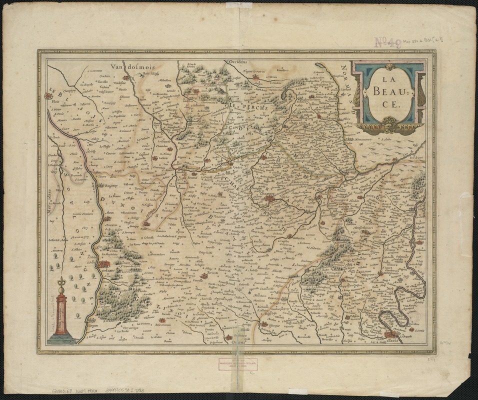
La Beauce
La Beauce
×
Item Information
Title:
La Beauce
Creator:
Hondius, Hendrik, b. 1573
Date:
[1639]
Format:
Maps/Atlases
Location:
Boston Public Library
Norman B. Leventhal Map Center
Collection (local):
Norman B. Leventhal Map Center Collection
Subjects:
Beauce (France)--Maps--Early works to 1800
Eure-et-Loire (France)--Maps--Early works to 1800
Places:
France
>
Centre
(region)
>
Beauce
(area)
France
>
Centre
(region)
>
Département d'Eure-et-Loir
Extent:
1 map : col. ; 36 x 48 cm.
Permalink:
https://ark.digitalcommonwealth.org/ark:/50959/794083407
Terms of Use:
No known copyright restrictions.
No known restrictions on use.
Publisher:
Amsterdam : Hondius
Scale:
Scale ca. 1:360,000.
Language:
French
Notes:
On verso: French text, z signature.
Appears in the author's Le Nouveau Theatre Du Monde ou Nouvel Atlas Tome Second. Amsterdam, 1639.
Notes (date):
This date is inferred.
Identifier:
06_01_006619
Call #:
G5833.E8 1639 .H66x
Barcode:
39999059027183
show more...
View MODS XML
More Like This
The 100th anniversary map of Abraham Lincoln's visit to ...
1630 shoreline
1879. Progress map of the U.S. Geographical Surveys west of the ...
1903 Map of Salem and surrounding places
Find More Like This >>
Tools
Share
Facebook
Pinterest
X
Reddit
Tumblr
Email
Copy link
Add to Folder
Questions/Comments
Cite This Item
IIIF Manifest
Downloads
Primary (full resolution, uncompressed)
(TIF, 204 MB)
Large (full resolution)
(JPEG, 17.1 MB)
Medium
(JPEG, 318 KB)