Skip to search
Skip to main content
Digital Commonwealth
Sign Up / Log In
Search for
Search
Search
Search
Basic
Advanced
Explore
Map
Collections
Institutions
Formats
For Educators
Primary Source Sets
Lesson Plans
Using Primary Sources
Searching Digital Commonwealth
For Institutions
Join Digital Commonwealth
Conferences, Trainings, & Events
How to Contribute Collections
Digitization Services
Board & Committees
Frequently Asked Questions
About
About Digital Commonwealth
News & Announcements
Copyright & Terms of Use
Harmful Content Statement
Partners
API
Contact Us
Boston Public Library
Norman B. Leventhal Map & Education Center Collection
/
David Judkins Weaver Papers
/
Boston and New England Maps (Collection of Distinction)
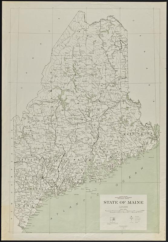
State of Maine
State of Maine
×
Item Information
Title:
State of Maine
Publisher:
Geological Survey (U.S.)
Cartographer:
Hassan, A. F.
Name on Item:
A.F. Hassan, cartographer
Date:
1946
Format:
Maps/Atlases
Location:
Boston Public Library
Norman B. Leventhal Map & Education Center
Collection (local):
David Judkins Weaver Papers
Subjects:
Maine--Maps
Places:
Maine
Extent:
1 map : color ; 101 x 68 cm
Permalink:
https://ark.digitalcommonwealth.org/ark:/50959/70799m110
Terms of Use:
No known copyright restrictions.
No known restrictions on use.
Publisher:
[Washington, D.C] : Geological Survey
Edition:
1922, reprinted 1946.
Scale:
Scale 1:500,000
Language:
English
Notes:
"Compiled in 1921 and 1922."
Identifier:
06_01_018889
Call #:
Weaver folder 38 no.4
show more...
View MODS XML
More Like This
An accurate map, of the District of Maine : being part of the ...
Bangor & Aroostook Railroad and connections : including northern ...
Fishing & hunting resorts of Maine, northern New Hampshire, and ...
Lumberman's map of northern Maine
Find More Like This >>
Tools
Share
Facebook
Pinterest
X
Reddit
Tumblr
Email
Copy link
Add to Folder
Questions/Comments
Cite This Item
IIIF Manifest
Downloads
Primary (full resolution, uncompressed)
(TIF, 425 MB)
Large (full resolution)
(JPEG, 35.7 MB)
Medium
(JPEG, 107 KB)