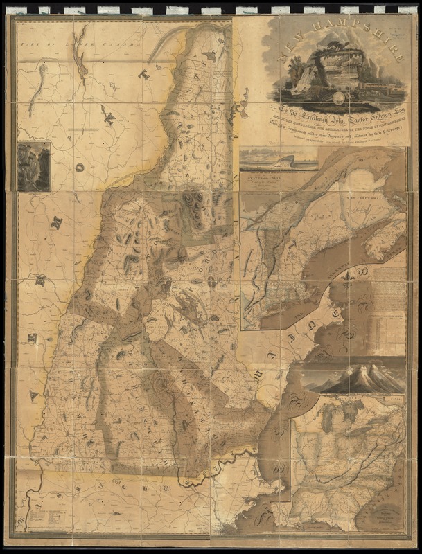
Relief shown pictorially and by hachures.
Inset maps: States of the Union east of the Hudson with the adjacent British colonies. Scale approximately 1:1,920,000 -- The middle, southern and western sections of the United States with the territories. Scale approximately 1:4,900,000.
Inset illustrations: View of the Great Boars Head and Hampton Beach -- The Gap of the White Mountains -- View of the White Mountains from Shelburne.
Prime meridian: Washington.
Originally on 6 sheets. Assembled, dissected and mounted on cloth.