Skip to search
Skip to main content
Digital Commonwealth
Sign Up / Log In
Search for
Search
Search
Search
Basic
Advanced
Explore
Map
Collections
Institutions
Formats
For Educators
Primary Source Sets
Lesson Plans
Using Primary Sources
Searching Digital Commonwealth
For Institutions
Join Digital Commonwealth
Conferences, Trainings, & Events
How to Contribute Collections
Digitization Services
Board & Committees
Frequently Asked Questions
About
About Digital Commonwealth
News & Announcements
Copyright & Terms of Use
Harmful Content Statement
Partners
API
Contact Us
Boston Public Library
Norman B. Leventhal Map Center Collection
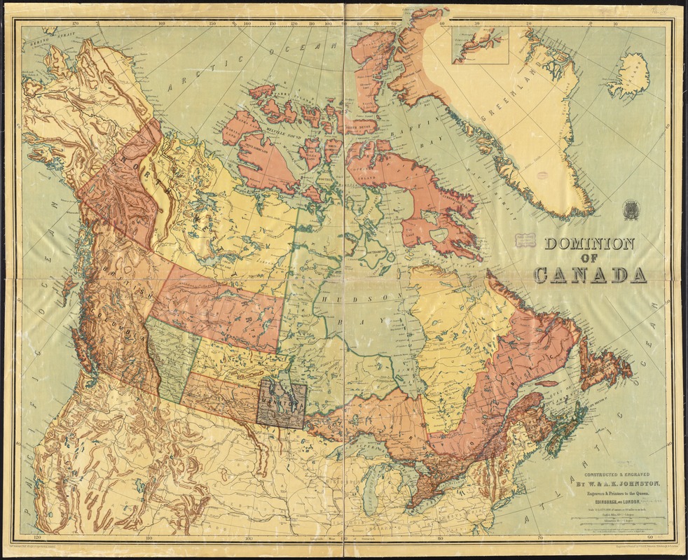
Dominion of Canada
Dominion of Canada
×
Item Information
Title:
Dominion of Canada
Creator:
W. & A.K. Johnston Limited
Name on Item:
constructed & engraved by W. & A.K. Johnston, engravers & printers to the Queen, Edinburgh and London.
Date:
[1895–1898]
Format:
Maps/Atlases
Location:
Boston Public Library
Norman B. Leventhal Map Center
Collection (local):
Norman B. Leventhal Map Center Collection
Subjects:
Canada--Maps
Greenland--Maps
Places:
Greenland
(territory)
Canada
Extent:
1 map : col. ; 102 x 122 cm.
Permalink:
https://ark.digitalcommonwealth.org/ark:/50959/4m90ff30z
Terms of Use:
No known copyright restrictions.
No known restrictions on use.
Publisher:
Edinburgh ; London : W. & A.K. Johnston
Scale:
Scale 1:5,070,000
Language:
English
Notes:
Relief shown by shading.
Shows provinces, territories and districts.
Inset: [Northern continuation of Greenland].
Notes (date):
This date is inferred.
Identifier:
06_01_011560
Call #:
G3400 1898 .W23
Barcode:
39999065686469
show more...
View MODS XML
More Like This
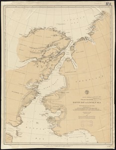
Arctic America : eastern sheet
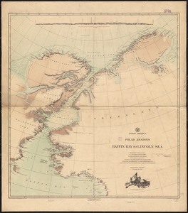
North America polar regions : Baffin Bay to Lincoln Sea, showing ...
North America, polar regions, Baffin Bay to Lincoln Sea : showing ...
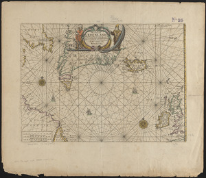
Pas caerte van Groenland, Ysland, Straet Davids en Ian Mayen ...
Find More Like This >>
Tools
Share
Facebook
Pinterest
X
Reddit
Tumblr
Email
Copy link
Add to Folder
Questions/Comments
Cite This Item
IIIF Manifest
Downloads
Primary (full resolution, uncompressed)
(TIF, 130 MB)
Large (full resolution)
(JPEG, 11 MB)
Medium
(JPEG, 375 KB)
GeoTIFF (georeferenced)
(TIF, 118 MB)