Skip to search
Skip to main content
Digital Commonwealth
Folders
Sign Up / Log In
Search for
Search
Search
Search
Basic
Advanced
Explore
Map
Collections
Institutions
Formats
For Educators
Primary Source Sets
Lesson Plans
Using Primary Sources
Searching Digital Commonwealth
For Institutions
Join Digital Commonwealth
Conferences, Trainings, & Events
How to Contribute Collections
Digitization Services
Board & Committees
Frequently Asked Questions
About
About Digital Commonwealth
News & Announcements
Copyright & Terms of Use
Harmful Content Statement
Partners
API
Contact Us
Boston Public Library
Norman B. Leventhal Map Center Collection
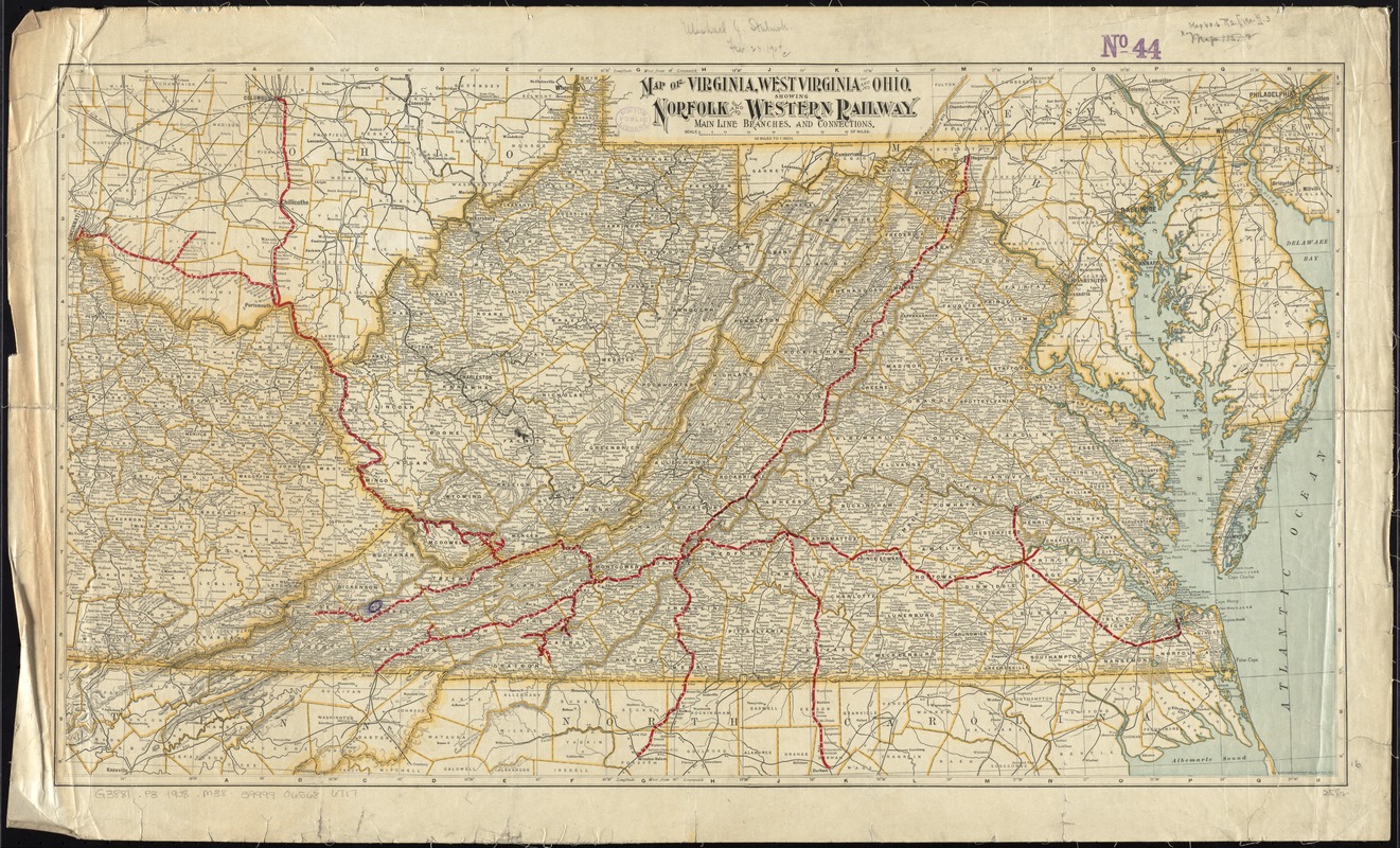
Map of Virginia, West Virginia and Ohio : showing Norfolk and Western Railway : main line branches and connections
Map of Virginia, West Virginia and Ohio
×
Item Information
Title:
Map of Virginia, West Virginia and Ohio : showing Norfolk and Western Railway : main line branches and connections
Creator:
Matthews-Northrup Company
Date:
[1902–1908]
Format:
Maps/Atlases
Location:
Boston Public Library
Norman B. Leventhal Map Center
Collection (local):
Norman B. Leventhal Map Center Collection
Subjects:
Norfolk and Western Railway Company--Maps
Railroads--Virginia--Maps
Railroads--West Virginia--Maps
Railroads--Ohio--Maps
Virginia--Maps
West Virginia--Maps
Ohio--Maps
Places:
Ohio
Virginia
West Virginia
Extent:
1 map : col. ; 41 x 74 cm.
Permalink:
https://ark.digitalcommonwealth.org/ark:/50959/4m90fd842
Terms of Use:
No known copyright restrictions.
No known restrictions on use.
Publisher:
Buffalo, N.Y : Matthews-Northrup Co.
Scale:
Scale [1:1,140,480]. 18 miles to 1 inch
Language:
English
Notes:
Relief shown by hachures.
Date estimated from established counties.
Notes (date):
This date is inferred.
Identifier:
06_01_011520
Call #:
G3881.P3 1908 .M38
Barcode:
39999065686717
show more...
View MODS XML
More Like This
Map of the Virginian Railway
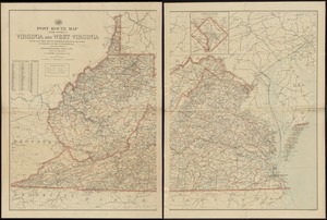
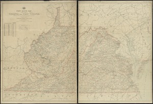
Post route map of the states of Virginia and West Virginia showing ...
Post route map of the states of Virginia and West Virginia showing ...
Post route map of the states of Virginia and West Virginia showing ...
Find More Like This >>
Tools
Share
Facebook
Pinterest
X
Reddit
Tumblr
Email
Copy link
Add to Folder
Questions/Comments
Cite This Item
IIIF Manifest
Downloads
Primary (full resolution, uncompressed)
(TIF, 57.2 MB)
Large (full resolution)
(JPEG, 4.8 MB)
Medium
(JPEG, 538 KB)
GeoTIFF (georeferenced)
(TIF, 73.4 MB)