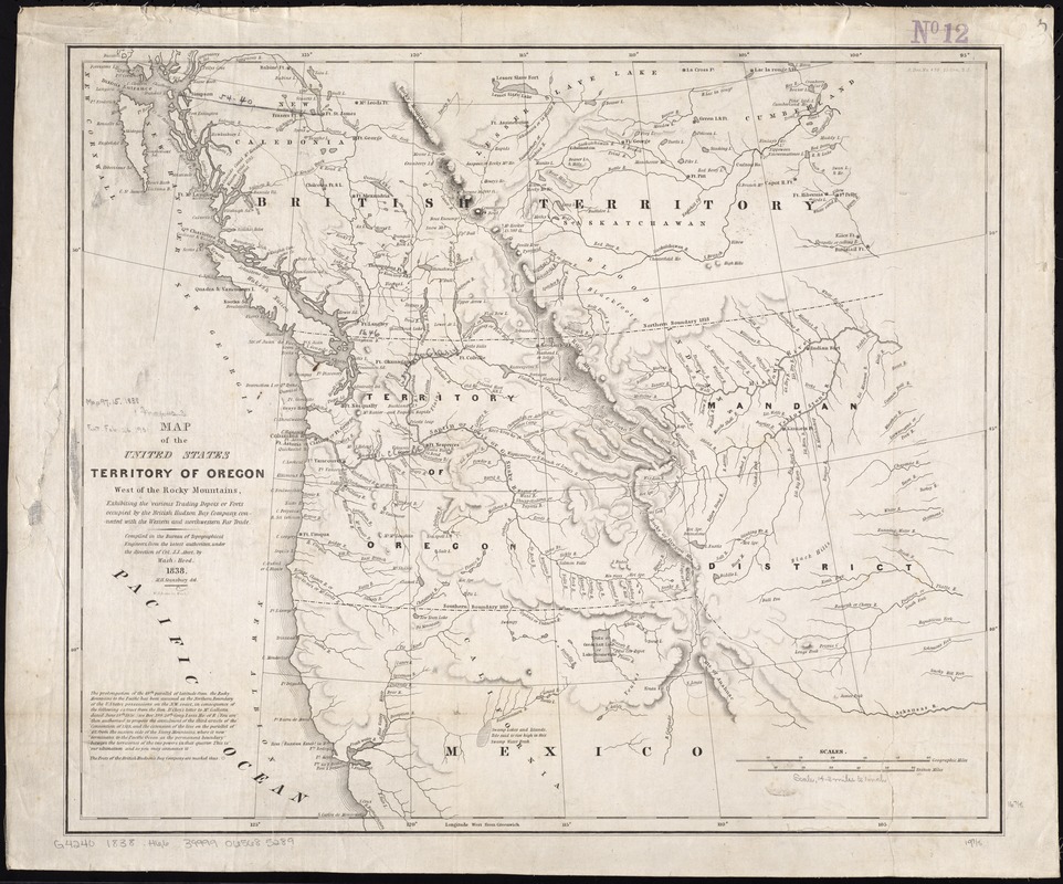
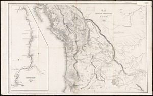
Map of the United States, Territory of Oregon, west of the Rocky Mountains, exhibiting the various trading depots or forts occupied by the British Hudson Bay Company, connected with the western and northwestern fur trade
Map of the United States, Territory of Oregon, west of the Rocky Mountains, exhibiting the various trading depots or forts occupied by the British Hudson Bay Company, connected with the western and northwestern fur trade
Item Information
Title:
Map of the United States, Territory of Oregon, west of the Rocky Mountains, exhibiting the various trading depots or forts occupied by the British Hudson Bay Company, connected with the western and northwestern fur trade
compiled in the Bureau of Topographical Engineers, from the latest authorities, under the direction of Col. J.J. Abert, by Wash: Hood ; M.H. Stansbury, del.
Relief shown by hachures.
"S. Doc. no. 470, 25 Con. 2 s."
Includes notes.
Scale bars are incorrect.
Another issue does not include the lines denoting coastal and interior waters/