Skip to search
Skip to main content
Digital Commonwealth
Sign Up / Log In
Search for
Search
Search
Search
Basic
Advanced
Explore
Map
Collections
Institutions
Formats
For Educators
Primary Source Sets
Lesson Plans
Using Primary Sources
Searching Digital Commonwealth
For Institutions
Join Digital Commonwealth
Conferences, Trainings, & Events
How to Contribute Collections
Digitization Services
Board & Committees
Frequently Asked Questions
About
About Digital Commonwealth
News & Announcements
Copyright & Terms of Use
Harmful Content Statement
Partners
API
Contact Us
Boston Public Library
Norman B. Leventhal Map Center Collection
/
Urban Maps (Collection of Distinction)
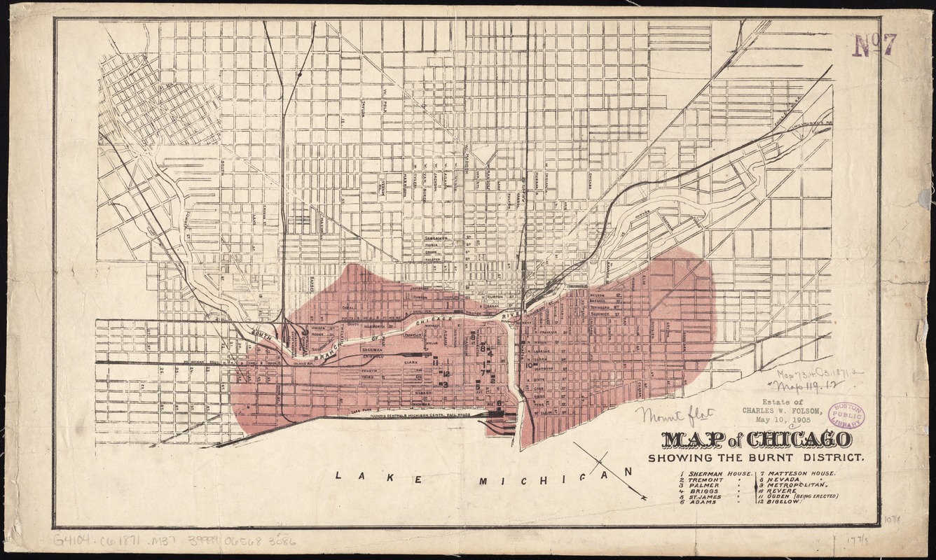
Map of Chicago showing the burnt district
Map of Chicago showing the burnt district
×
Item Information
Title:
Map of Chicago showing the burnt district
Date:
[ca. 1871]
Format:
Maps/Atlases
Location:
Boston Public Library
Norman B. Leventhal Map Center
Collection (local):
Norman B. Leventhal Map Center Collection
Subjects:
Great Fire, Chicago, Ill., 1871--Maps
Chicago (Ill.)--Maps
Places:
Cook (county)
>
Chicago
Extent:
1 map : col. ; 28 x 45 cm.
Permalink:
https://ark.digitalcommonwealth.org/ark:/50959/4m90f768n
Terms of Use:
No known copyright restrictions.
No known restrictions on use.
Publisher:
S.l : s.n.
Scale:
Scale [ca. 1:24,000]
Language:
English
Notes:
Shows extent of fire.
Oriented with north to the lower right.
Includes key to points of interest.
Identifier:
06_01_011324
Call #:
G4104.C6 1871 .M37
Barcode:
39999065683086
show more...
View MODS XML
More Like This
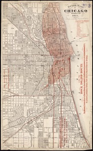
Guide map of Chicago, October 11th, 1871
Chicago
Chicago
Chicago motor coach pictorial map of Chicago
Find More Like This >>
Tools
Share
Facebook
Pinterest
X
Reddit
Tumblr
Email
Copy link
Add to Folder
Questions/Comments
Cite This Item
IIIF Manifest
Downloads
Primary (full resolution, uncompressed)
(TIF, 51.5 MB)
Large (full resolution)
(JPEG, 4.33 MB)
Medium
(JPEG, 416 KB)
GeoTIFF (georeferenced)
(TIF, 66.3 MB)