Skip to search
Skip to main content
Digital Commonwealth
Sign Up / Log In
Search for
Search
Search
Search
Basic
Advanced
Explore
Map
Collections
Institutions
Formats
For Educators
Primary Source Sets
Lesson Plans
Using Primary Sources
Searching Digital Commonwealth
For Institutions
Join Digital Commonwealth
Conferences, Trainings, & Events
How to Contribute Collections
Digitization Services
Board & Committees
Frequently Asked Questions
About
About Digital Commonwealth
News & Announcements
Copyright & Terms of Use
Harmful Content Statement
Partners
API
Contact Us
Boston Public Library
Norman B. Leventhal Map Center Collection
/
Urban Maps (Collection of Distinction)
/
Boston and New England Maps (Collection of Distinction)
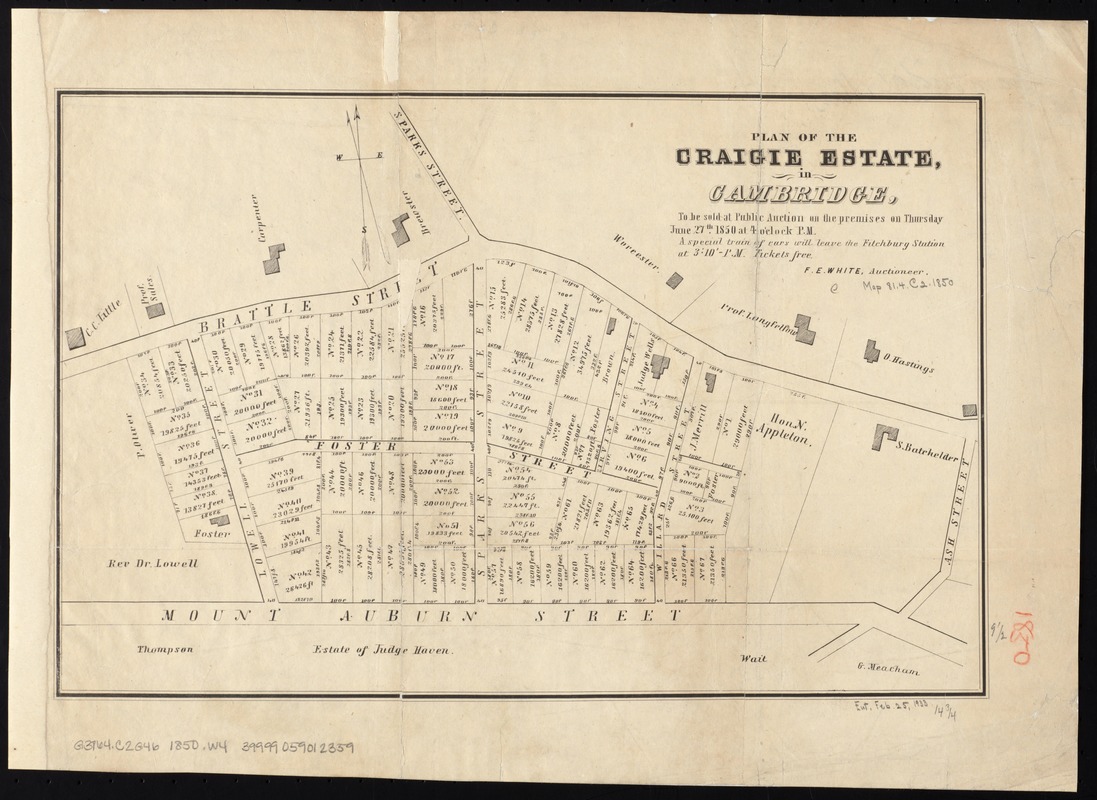
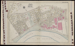
Plan of the Craigie Estate in Cambridge : to be sold at public auction on the premises on Thursday June 27th, 1850 at 4 o'clock p.m
Plan of the Craigie Estate in Cambridge
×
Item Information
Title:
Plan of the Craigie Estate in Cambridge : to be sold at public auction on the premises on Thursday June 27th, 1850 at 4 o'clock p.m
Creator:
White, Ferdinand E., d. 1853
Name on Item:
F.E. White, auctioneer.
Date:
[1850]
Format:
Maps/Atlases
Location:
Boston Public Library
Norman B. Leventhal Map Center
Collection (local):
Norman B. Leventhal Map Center Collection
Subjects:
Real property--Massachusetts--Cambridge--Maps
Cambridge (Mass.)--Maps
Places:
Middlesex (county)
>
Cambridge
Extent:
1 map ; 25 x 37 cm.
Permalink:
https://ark.digitalcommonwealth.org/ark:/50959/1257bc17t
Terms of Use:
No known copyright restrictions.
No known restrictions on use.
Publisher:
Boston? : s.n.
Scale:
Scale [ca. 1:2,500].
Language:
English
Notes:
Cadastral map showing property lot numbers, dimensions, and areas of properties on and around Brattle St., Lowell St., Foster St., Willard St., and Mt. Auburn St.
Shows also some surrounding properties and buildings with names of owners.
Notes (date):
This date is inferred.
Identifier:
06_01_005264
Call #:
G3764.C2G46 1850 .W4
Barcode:
39999059012359
show more...
View MODS XML
More Like This
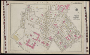
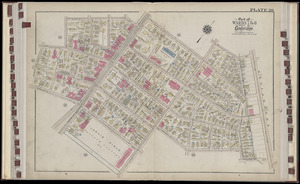
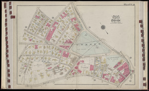
Atlas of the city of Cambridge, Massachusetts : from actual ...
Atlas of the city of Cambridge, Massachusetts : from actual ...
Atlas of the city of Cambridge, Massachusetts : from actual ...
Atlas of the city of Cambridge, Massachusetts : from actual ...
Find More Like This >>
Tools
Share
Facebook
Pinterest
X
Reddit
Tumblr
Email
Copy link
Add to Folder
Questions/Comments
Cite This Item
IIIF Manifest
Downloads
Primary (full resolution, uncompressed)
(TIF, 37.6 MB)
Large (full resolution)
(JPEG, 3.16 MB)
Medium
(JPEG, 250 KB)
GeoTIFF (georeferenced)
(TIF, 39.6 MB)