Skip to search
Skip to main content
Digital Commonwealth
Sign Up / Log In
Search for
Search
Search
Search
Basic
Advanced
Explore
Map
Collections
Institutions
Formats
For Educators
Primary Source Sets
Lesson Plans
Using Primary Sources
Searching Digital Commonwealth
For Institutions
Join Digital Commonwealth
Conferences, Trainings, & Events
How to Contribute Collections
Digitization Services
Board & Committees
Frequently Asked Questions
About
About Digital Commonwealth
News & Announcements
Copyright & Terms of Use
Harmful Content Statement
Partners
API
Contact Us
Boston Public Library
Norman B. Leventhal Map & Education Center Collection
/
Urban Maps (Collection of Distinction)
/
Boston and New England Maps (Collection of Distinction)
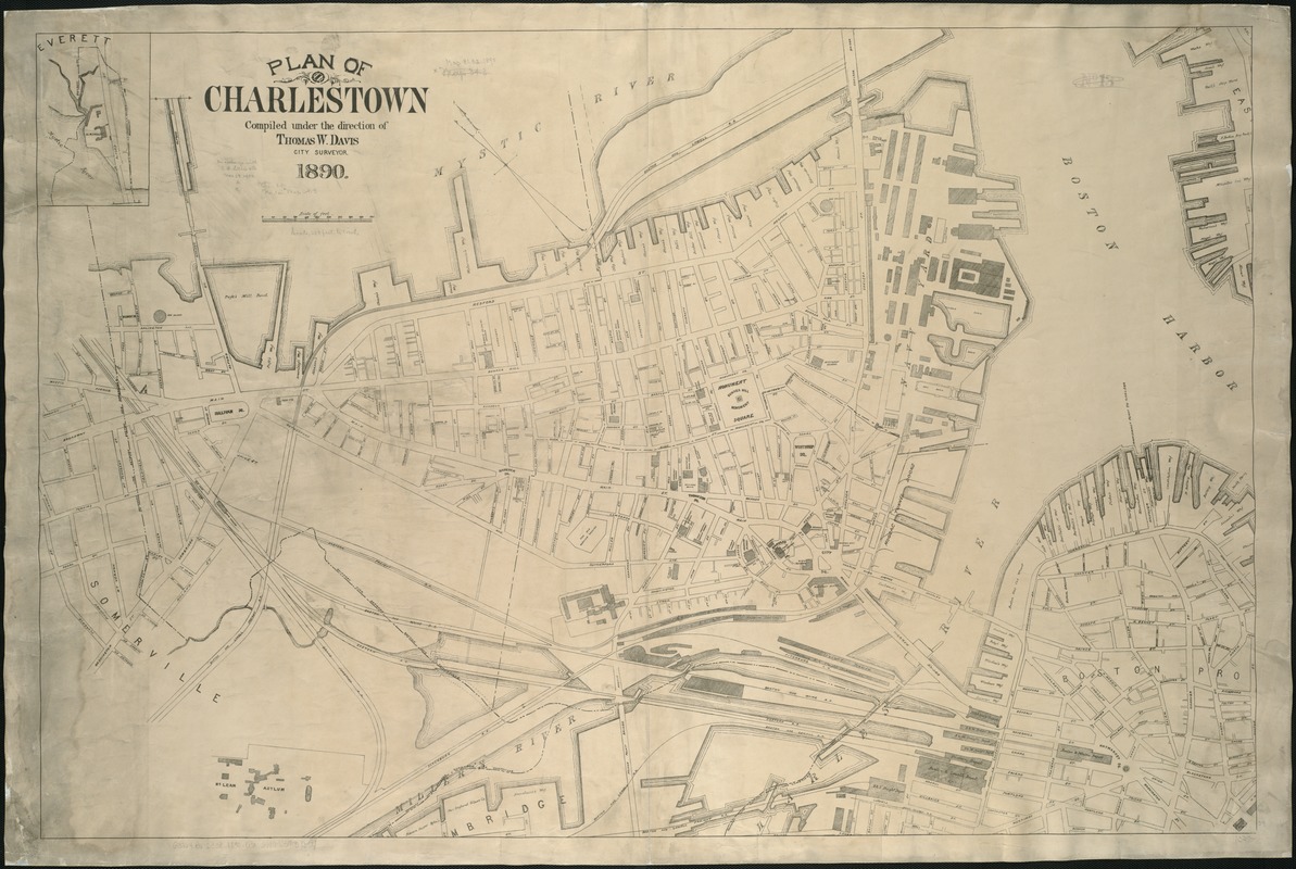
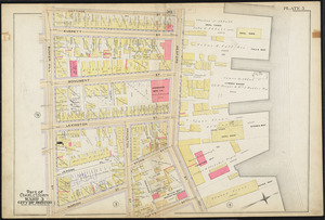
Plan of Charlestown
Plan of Charlestown
×
Item Information
Title:
Plan of Charlestown
Creator:
Boston (Mass.). City surveyor
Name on Item:
compiled under the direction of Thomas W. Davis City Surveyor.
Date:
[1890]
Format:
Maps/Atlases
Location:
Boston Public Library
Norman B. Leventhal Map & Education Center
Collection (local):
Norman B. Leventhal Map & Education Center Collection
Subjects:
Charlestown (Boston, Mass.)--Maps
Places:
Massachusetts
>
Suffolk (county)
>
Boston
>
Charlestown
Extent:
1 map ; 74 x 112 cm.
Permalink:
https://ark.digitalcommonwealth.org/ark:/50959/1257b998m
Terms of Use:
No known copyright restrictions.
No known restrictions on use.
Publisher:
Boston : Engineering Dept.
Scale:
Scale 1:3,000.
Language:
English
Notes:
Oriented with north toward the upper left.
Shows railroads.
Notes (date):
This date is inferred.
Identifier:
06_01_004885
Call #:
G3764.B6:2C38 1890 .D3x
Barcode:
39999059008654
show more...
View MODS XML
More Like This
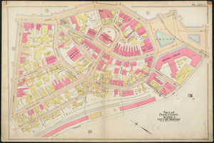
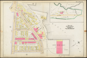
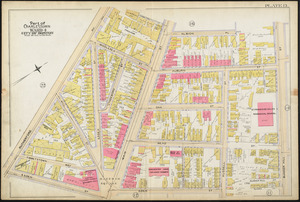
Atlas of the city of Boston : Charlestown : plate 1
Atlas of the city of Boston : Charlestown : plate 15
Atlas of the city of Boston : Charlestown : plate 13
Atlas of the city of Boston : Charlestown : plate 5
Find More Like This >>
Tools
Share
Facebook
Pinterest
X
Reddit
Tumblr
Email
Copy link
Add to Folder
Questions/Comments
Cite This Item
IIIF Manifest
Downloads
Primary (full resolution, uncompressed)
(TIF, 211 MB)
Large (full resolution)
(JPEG, 17.7 MB)
Medium
(JPEG, 304 KB)
GeoTIFF (georeferenced)
(TIF, 352 MB)