Skip to search
Skip to main content
Digital Commonwealth
Sign Up / Log In
Search for
Search
Search
Search
Basic
Advanced
Explore
Map
Collections
Institutions
Formats
For Educators
Primary Source Sets
Lesson Plans
Using Primary Sources
Searching Digital Commonwealth
For Institutions
Join Digital Commonwealth
Conferences, Trainings, & Events
How to Contribute Collections
Digitization Services
Board & Committees
Frequently Asked Questions
About
About Digital Commonwealth
News & Announcements
Copyright & Terms of Use
Harmful Content Statement
Partners
API
Contact Us
Boston Public Library
Norman B. Leventhal Map Center Collection
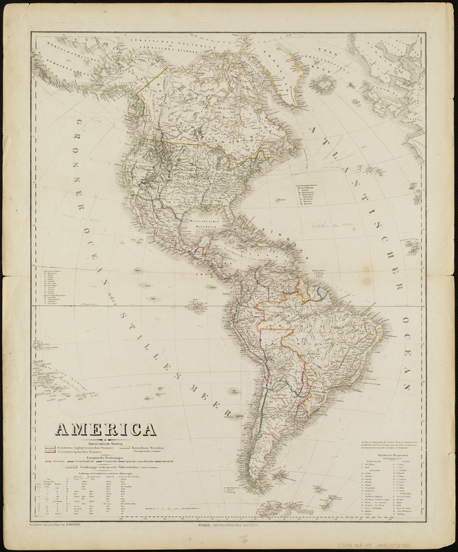
America
America
×
Item Information
Title:
America
Creator:
Kiepert, Heinrich, 1818-1899
Name on Item:
bearbeitet und gezeichnet von H. Kiepert.
Date:
[1865?]
Format:
Maps/Atlases
Location:
Boston Public Library
Norman B. Leventhal Map Center
Collection (local):
Norman B. Leventhal Map Center Collection
Subjects:
America--Maps
Western Hemisphere--Maps
Places:
North and Central America
South America
Mesoamerica
(area)
North America
(area)
South America
America
Extent:
1 map : hand col. ; 63 x 50 cm.
Permalink:
https://ark.digitalcommonwealth.org/ark:/50959/1257b9627
Terms of Use:
No known copyright restrictions.
No known restrictions on use.
Publisher:
Weimar : Verlag des Geographischen Instituts
Scale:
Scale [ca. 1:26,000,000].
Language:
German
Notes:
Relief shown by hachures.
Includes text.
In lower right margin: "59."
Identifier:
06_01_004796
Call #:
G3290 1865 .K5
Barcode:
39999059007888
show more...
View MODS XML
More Like This
America : nach Arrowsmith, Brué und Lapie mit Benutzung der ...
America : Nach Arrowsmith, Brué und Lapie mit Benutzung der ...
America, with the European Settlements, and the conquests of ...
Géographie de l'Amérique
Find More Like This >>
Tools
Share
Facebook
Pinterest
X
Reddit
Tumblr
Email
Copy link
Add to Folder
Questions/Comments
Cite This Item
IIIF Manifest
Downloads
Primary (full resolution, uncompressed)
(TIF, 150 MB)
Large (full resolution)
(JPEG, 12.6 MB)
Medium
(JPEG, 179 KB)
GeoTIFF (georeferenced)
(TIF, 175 MB)