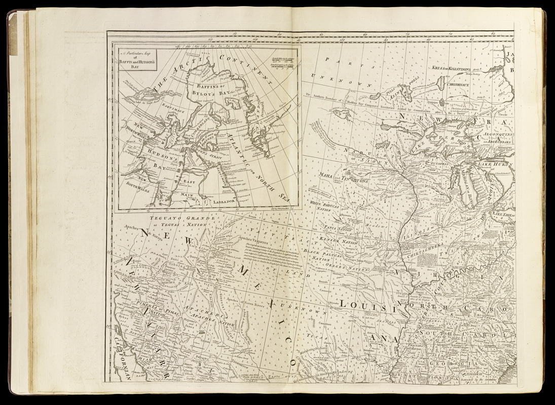
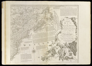
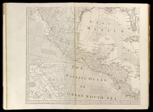
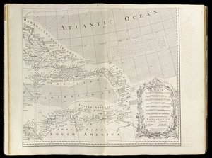
An accurate map of North America : describing and distinguishing the British, Spanish and French dominions on this great continent : according to the definitive treaty concluded at Paris 10th Feb. 1763 : also all the West India Islands belonging to, and possessed by the several European princes and states
An accurate map of North America : describing and distinguishing the British, Spanish and French dominions on this great continent : according to the definitive treaty concluded at Paris 10th Feb. 1763 : also all the West India Islands belonging to, and possessed by the several European princes and states
Relief shown pictorially.
Inset maps: "The passage by land to California ..." and "A particular map of Baffin and Hudsons Bay."
Shows boundaries, rivers, shoals roads, forests and settlements ; articles from the Treaty ; notes about the region ; arrows show prevailing wind direction.
Appears in Thomas Jefferys' General topography of North America and the West Indies. London: Printed for Robert Sayer, 1768.