Search


Limit your search
- Nautical charts--Early works to 180038
- New England--Maps--Early works to 180032
- America--Maps--Early works to 180029
- Massachusetts--History--Colonial period, ca. 1600-177523
- North America--Maps--Early works to 180023
- Swedish-Polish War, 1655-1660--Maps--Early works to 180023
- Cotton family22
- World maps--Early works to 180022
- 1600 to 1699 ✖ [remove] 1,143
- 1600 to 1609 49
- 1610 to 1619 59
- 1620 to 1629 71
- 1630 to 1639 167
- 1640 to 1649 176
- 1650 to 1659 196
- 1660 to 1669 242
- 1670 to 1679 251
- 1680 to 1689 291
- 1690 to 1699 347
Current results range from 1300 to 1987
- Norman B. Leventhal Map Center Collection683
- Digitized Museum Collections120
- Maritime Charts and Atlases (Collection of Distinction)66
- Selected items from the collections of the Massachusetts Historical Society29
- Stanley Smith Deed Collection26
- Mapping Boston Collection25
- Atlas Major23
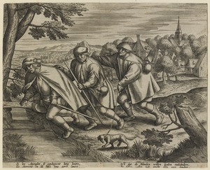
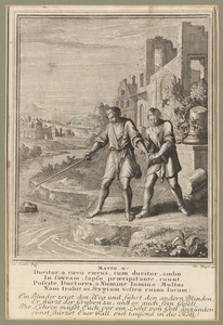
- Blind in Art Collection21