Search
Limit your search
- Project DOCUMERICA Photographs by Ernst Halberstadt15
- Domestic interiors photographic collection (PC002)12
- Bainbridge Bunting Photograph Collection8
- Irving and Casson - A. H. Davenport -- Collection I (CC010)6
- Royal Barry Wills Associates architectural collection, 1925-2013 (bulk 1920s-1980) (AR029)6
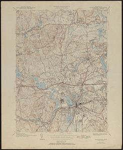
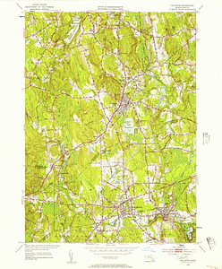
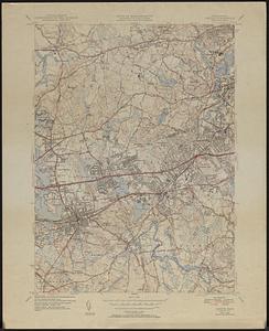
- Land study maps, 1936-19375
- General photographic collection (PC001)4
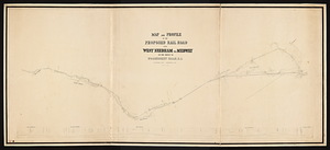
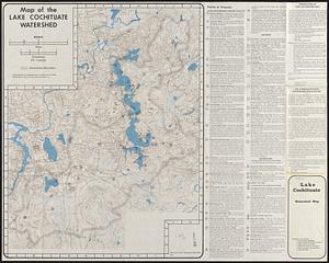
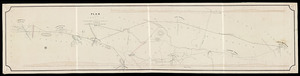
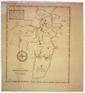
- Wayland Historical Maps and Plans4