Skip to search
Skip to main content
Skip to first result
Digital Commonwealth
Folders
Sign Up / Log In
Search for
Search
Search
Search
Basic
Advanced
Explore
Map
Collections
Institutions
Formats
For Educators
Primary Source Sets
Lesson Plans
Using Primary Sources
Searching Digital Commonwealth
For Institutions
Join Digital Commonwealth
Conferences, Trainings, & Events
How to Contribute Collections
Digitization Services
Board & Committees
Frequently Asked Questions
About
About Digital Commonwealth
News & Announcements
Copyright & Terms of Use
Harmful Content Statement
Partners
API
Contact Us
Search
Search Constraints
Start Over
Save Search
Your search:
map
✖
Remove constraint map
« Prev.
|
201
-
250
of
34,053
|
Next »
Sort
by relevance
relevance
title
date (asc)
date (desc)
Number of results to display per page
50
per page
per page
10
per page
20
per page
50
per page
100
per page
View results as:
List
list view
Maps
map view
Gallery
grid view
Search Results
201.
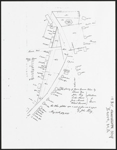
Barre, MA, map
202.
Map of Barre
203.
Property line map
204.
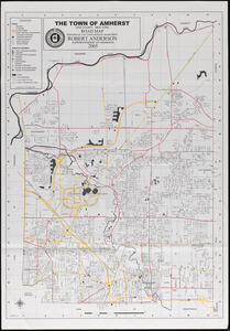
Amherst map & guide
205.
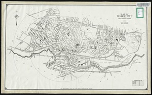
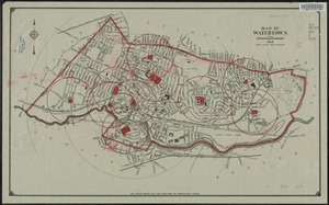
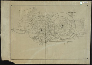
Map of Watertown
206.
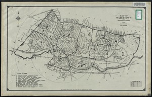
Map of Watertown
207.
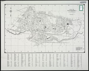
Map of Watertown
208.
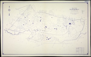
Map of Watertown
209.
Map of Watertown
210.
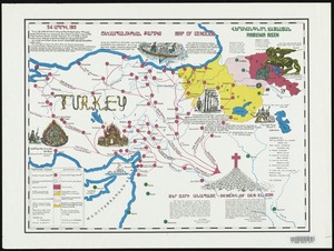
Map of genocide
211.
Map of Watertown
212.
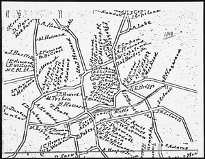
Map of residents
213.
Map of Washington
214.
Washington 1876 Map
215.
Map of Nahant
216.
Map of Roxbury
217.
Lynn Woods, Map
218.
Map, East Saugus
219.
Map, Floor Plan
220.
Quincy Center map
221.
Quincy Center map
222.
Quincy Center map
223.
Reading benchmark maps
224.
Situation map; Saigon.
225.
Spot Pond map
226.
World map of A.D. 1544 (the Sebastian-Cabot map)
227.
Maps, Map of proposed distribution system, Mass., ca. 1894
228.
American Map and Reproducing Company's map of Portland and vicinity
229.
Supplementary map to the "Daily Telegraph" war map no. 13
230.
Map of North America : reduced from map on scale of 1:5,000,000
231.
Tomlinsons map of Petersburg : showing the scene of Genl. Grants operations
232.
Wright's map of Milwaukee
233.
Map of Boston 1875 : from A. Williams & Cos. map of Boston and the adjacent country, 1872
234.
Map of Minneapolis, Minn
235.
Grant's campaign war map : supplement : 25 miles around Richmond
236.
Political map of Europe
237.
A map of Canaan : with the adjacent countrie's very usefull for the understanding of the Old Testament
238.
Map of Eastern Kansas
239.
New map of Rhodesia : compiled from the latest authentic data, private and official surveys, etc. with special inset maps
240.
Map of Boston proper
241.
New map of Chicago : comprising the whole city, taken from Lowe's map, with all the recent additions, subdivisions & extensions
242.
Railroad map of Illinois
243.
Black's special war map
244.
Map of St. Paul
245.
Map of Boston 1872
246.
Map of Akron, Ohio : prepared for Akron Chamber of Commerce
247.
Guide map of Boston
248.
Street map of Philadelphia : issued by the Philadelphia Hotel Association, Philadelphia, Pa.
249.
Indexed map of Boston
250.
Gallup's map of Texas
« Previous
Next »
1
2
3
4
5
6
7
8
9
…
681
682
Limit your search
Subject
Land use--Massachusetts
10,047
Maps--Massachusetts
10,047
Real property--Massachusetts--Boston--Maps
2,356
Boston (Mass.)--Maps
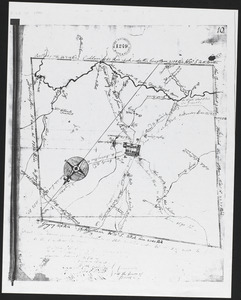
2,182
Landowners--Massachusetts--Boston--Maps
2,154
Roads
1,693
Cities and towns
1,683
Land use mapping
1,680
more
Subject
»
Place
North and Central America
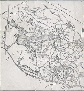
28,490
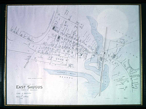
United States
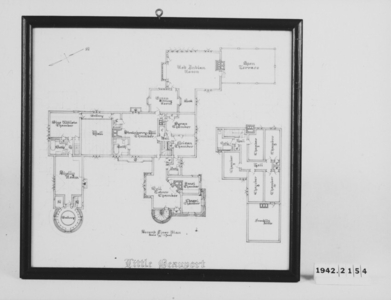
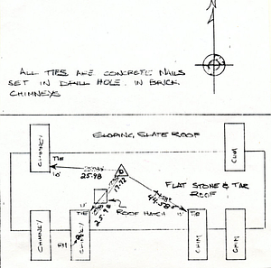
26,786
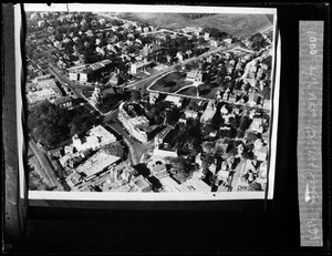
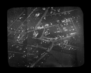
Massachusetts
21,415
Suffolk (county)
4,782
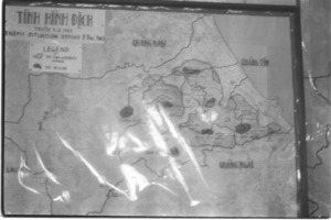
Boston
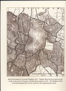
4,621
Essex (county)
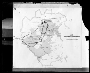
2,467
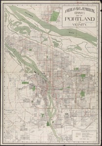
Massachusetts--Worcester County
1,926
Middlesex (county)
1,638
more
Place
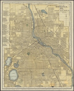
»
Format
Maps/Atlases
20,380
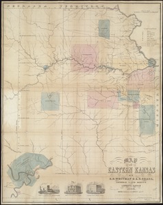
Photographs
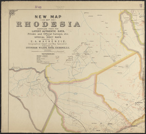
11,580
Prints
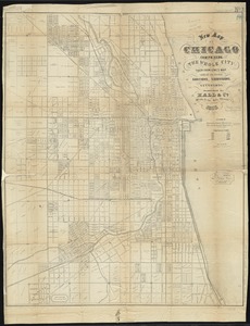
8,859
Manuscripts
2,431
Documents
437
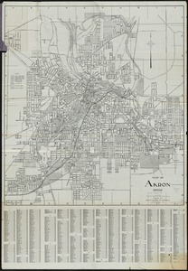
Books
389
Drawings/Illustrations
332
Letters/Correspondence
329
more
Format
»
Available to use
No known restrictions
17,200
Creative Commons license
2,111
Date
View distribution
Current results range from
1482
to
2023
Date range begin
Date range end
View larger »
Unknown
585
Collection
Norman B. Leventhal Map Center Collection
11,713
William P. MacConnell Aerial Photograph Collection, ca. 1950-2000
10,047
Boston and New England Maps (Collection of Distinction)
5,680
Urban Maps (Collection of Distinction)
5,273
Land study maps, 1936-1937
1,680
Maritime Charts and Atlases (Collection of Distinction)
1,110
American Revolutionary War-Era Maps (Collection of Distinction)
848
Lawrence, Mass. Engineering Department. City Sewers
717
more
Collection
»
Institution
Boston Public Library
12,670
Special Collections and University Archives, University of Massachusetts Amherst Libraries
10,535
Massachusetts Archives
2,659
Lawrence Public Library
1,496
Harvard University
724
State Library of Massachusetts
719
New Bedford Free Public Library
487
Historic New England
354
more
Institution
»