Skip to search
Skip to main content
Skip to first result
Digital Commonwealth
Folders
Sign Up / Log In
Search for
Search
Search
Search
Basic
Advanced
Explore
Map
Collections
Institutions
Formats
For Educators
Primary Source Sets
Lesson Plans
Using Primary Sources
Searching Digital Commonwealth
For Institutions
Join Digital Commonwealth
Conferences, Trainings, & Events
How to Contribute Collections
Digitization Services
Board & Committees
Frequently Asked Questions
About
About Digital Commonwealth
News & Announcements
Copyright & Terms of Use
Harmful Content Statement
Partners
API
Contact Us
Search
Search Constraints
Start Over
Save Search
Your search:
map
✖
Remove constraint map
« Prev.
|
201
-
220
of
34,087
|
Next »
Sort
by relevance
relevance
title
date (asc)
date (desc)
Number of results to display per page
20
per page
per page
10
per page
20
per page
50
per page
100
per page
View results as:
List
list view
Maps
map view
Gallery
grid view
Search Results
201.
MAP Worcester minutes
202.
Melrose Walks Maps
203.
Gloucester Map Collection
204.
MAP Worcester minutes
205.
MAP Worcester minutes
206.
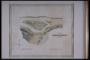
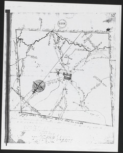
Compass survey map
207.
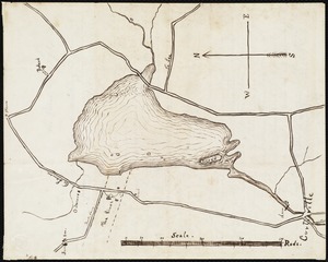
Lake Mahkeenac: map
208.
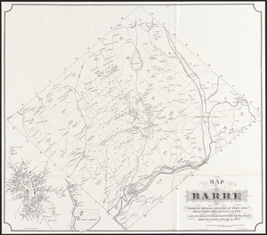
Map of Barre : Showing original division of town into great farms & house lots in 1734, and its present inhabitants with the...
209.
Barre, MA, map
210.
Map of Barre
211.
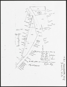
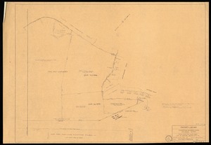
Property line map
212.
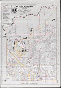
Amherst map & guide
213.
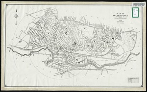
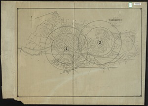
Map of Watertown
214.
Map of Watertown
215.
Map of Watertown
216.
Map of Watertown
217.
Map of Watertown
218.
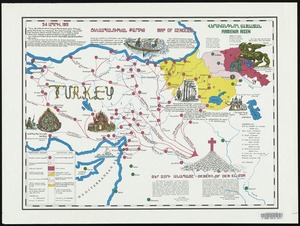
Map of genocide
219.
Map of Watertown
220.
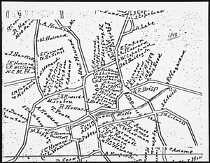
Map of residents
« Previous
Next »
1
2
…
7
8
9
10
11
12
13
14
15
…
1,704
1,705
Limit your search
Subject
Land use--Massachusetts
10,047
Maps--Massachusetts
10,047
Real property--Massachusetts--Boston--Maps
2,356
Boston (Mass.)--Maps
2,182
Landowners--Massachusetts--Boston--Maps
2,154
Roads
1,693
Cities and towns
1,683
Land use mapping
1,680
more
Subject
»
Place
North and Central America
29,182
United States
27,959
Massachusetts
23,334
Suffolk (county)
4,782
Boston
4,621
Essex (county)
2,471
Massachusetts--Worcester County
1,926
Europe
1,649
more
Place
»
Format
Maps/Atlases
20,389
Photographs
11,593
Prints
8,861
Manuscripts
2,432
Documents
448
Books
391
Drawings/Illustrations
333
Letters/Correspondence
331
more
Format
»
Available to use
No known restrictions
17,202
Creative Commons license
2,120
Date
View distribution
Current results range from
1482
to
2023
Date range begin
Date range end
View larger »
Unknown
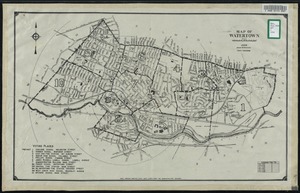
594
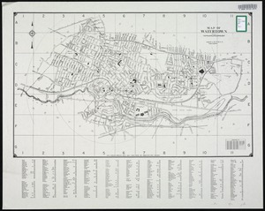
Collection
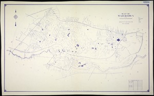
Norman B. Leventhal Map & Education Center Collection
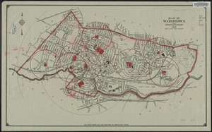
11,713
William P. MacConnell Aerial Photograph Collection, ca. 1950-2000
10,047
Boston and New England Maps (Collection of Distinction)
5,680
Urban Maps (Collection of Distinction)
5,273
Land study maps, 1936-1937
1,680
Maritime Charts and Atlases (Collection of Distinction)
1,110
American Revolutionary War-Era Maps (Collection of Distinction)
848
Lawrence, Mass. Engineering Department. City Sewers
717
more
Collection
»
Institution
Boston Public Library
12,672
Special Collections and University Archives, University of Massachusetts Amherst Libraries
10,535
Massachusetts Archives
2,659
Lawrence Public Library
1,496
Harvard University
724
State Library of Massachusetts
719
New Bedford Free Public Library
487
Historic New England
354
more
Institution
»