Skip to search
Skip to main content
Skip to first result
Digital Commonwealth
Folders
Sign Up / Log In
Search for
Search
Search
Search
Basic
Advanced
Explore
Map
Collections
Institutions
Formats
For Educators
Primary Source Sets
Lesson Plans
Using Primary Sources
Searching Digital Commonwealth
For Institutions
Join Digital Commonwealth
Conferences, Trainings, & Events
How to Contribute Collections
Digitization Services
Board & Committees
Frequently Asked Questions
About
About Digital Commonwealth
News & Announcements
Copyright & Terms of Use
Harmful Content Statement
Partners
API
Contact Us
Search
Search Constraints
Start Over
Save Search
Your search:
More Like
commonwealth-oai:ww72bk661
✖
Remove constraint More Like: commonwealth-oai:ww72bk661
« Prev.
|
81
-
100
of
368
|
Next »
Sort
by relevance
relevance
title
date (asc)
date (desc)
Number of results to display per page
20
per page
per page
10
per page
20
per page
50
per page
100
per page
View results as:
List
list view
Maps
map view
Gallery
grid view
Search Results
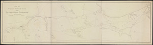
81.
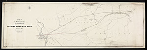
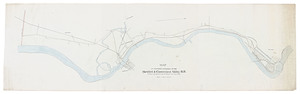
[Map of a proposed railroad from Lowell to Framingham to Mansfield]
82.
Map of a proposed railroad from Pittsfield to West Stockbridge, Massachusetts and adjoining lines.
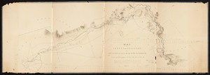
83.
Map of a survey for a railroad from Pittsfield to Algers Furnace via Lee and Stockbridge / Frederick Hasback.
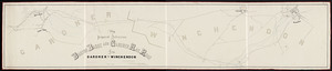
84.
[Map of Boston and Lowell and Nashua and Lowell Railroads near the Lowell depot]
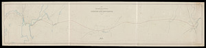
85.
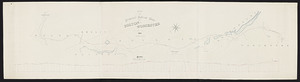
[Map of Boston to Lowell Railroad, also Lowell and Lawrence and Salem and Lowell Railroads].
86.
Map of part of Springfield.
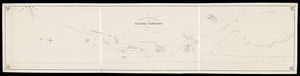
87.
Map of proposed extension of the Boston, Barre and Gardner railroad from Gardner to Winchendon / surveyed by H.B. Potter drawn...
88.
Map of proposed extension of the Hartford and Connecticut Valley R.R. from the south line Massachusetts to Holyoke.
89.
Map of proposed railroad route between Bolton and Worcester
90.
Map of proposed railroad route between Nashua and Concord / Wm. F. Ellis, engineer.
91.
Map of proposed railroad route from Plymouth to Sandwich / S.L. Minot, engineer.
92.
Map of proposed route between Taunton and Providence / S.L. Minot, engineer.
93.
[Map of proposed series of railroad draw bridges over the Charles River].
94.
Map of railroad routes between Concord, New Hampshire, Boston and Worcester, Massachusetts.
95.
Map of route connecting Manchester & Ashburnham Railroad and Ashburnham Railroad from Ashburnham to state line / D.W. Bemis,...
96.
Map of route surveyed from Blackstone to Southbridge.
97.
Map of survey for a railroad route from Needham to West Dedham / John M. Harris, engineer.
98.
Map of survey for railroad from Westfield to Holyoke / J.S. Potter, engr.
99.
Map of surveys for a railroad from Northampton to Amherst / J.S. Potter, engineer.
100.
Map of surveys for the extension of the Charles River railroad / John M. Harris, engineer.
« Previous
Next »
1
2
3
4
5
6
7
8
9
…
18
19
Limit your search
Subject
Railroads--Massachusetts
59
Railroads--Massachusetts--Maps
13
Massachusetts--Maps
9
Old Colony Railroad
8
Boston and Maine Railroad--Maps
7
Massachusetts. Board of Railroad Commissioners
7
Massachusetts. Public Service Commission
7
Public utilities--Massachusetts
7
more
Subject
»
Place
North and Central America
368
United States
368
Massachusetts
356
Middlesex (county)
91
Suffolk (county)
72
Boston
71
Norfolk (county)
45
Essex (county)
43
more
Place
»
Format
Maps/Atlases
270
Documents
98
Date
View distribution
Current results range from
1827
to
1919
Date range begin
Date range end
View larger »
Unknown
56
Collection
Massachusetts Board of Railroad Commissioners
368
Institution
State Library of Massachusetts
368
![[Map of a proposed railroad from Lowell to Framingham to Mansfield]](https://bpldcassets.blob.core.windows.net/derivatives/metadata/commonwealth-oai:6m312537x/image_thumbnail_300.jpg)
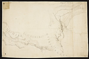
![[Map of Boston and Lowell and Nashua and Lowell Railroads near the Lowell depot]](https://bpldcassets.blob.core.windows.net/derivatives/metadata/commonwealth-oai:q237j857p/image_thumbnail_300.jpg)
![[Map of Boston to Lowell Railroad, also Lowell and Lawrence and Salem and Lowell Railroads].](https://bpldcassets.blob.core.windows.net/derivatives/metadata/commonwealth-oai:3b591r39g/image_thumbnail_300.jpg)
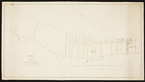
![[Map of proposed series of railroad draw bridges over the Charles River].](https://bpldcassets.blob.core.windows.net/derivatives/metadata/commonwealth-oai:9k41zw63h/image_thumbnail_300.jpg)