Skip to search
Skip to main content
Skip to first result
Digital Commonwealth
Folders
Sign Up / Log In
Search for
Search
Search
Search
Basic
Advanced
Explore
Map
Collections
Institutions
Formats
For Educators
Primary Source Sets
Lesson Plans
Using Primary Sources
Searching Digital Commonwealth
For Institutions
Join Digital Commonwealth
Conferences, Trainings, & Events
How to Contribute Collections
Digitization Services
Board & Committees
Frequently Asked Questions
About
About Digital Commonwealth
News & Announcements
Copyright & Terms of Use
Harmful Content Statement
Partners
API
Contact Us
Search
Search Constraints
Start Over
Save Search
Your search:
More Like
commonwealth-oai:ww72bg02v
✖
Remove constraint More Like: commonwealth-oai:ww72bg02v
« Prev.
|
121
-
140
of
147
|
Next »
Sort
by relevance
relevance
title
date (asc)
date (desc)
Number of results to display per page
20
per page
per page
10
per page
20
per page
50
per page
100
per page
View results as:
List
list view
Maps
map view
Gallery
grid view
Search Results
121.
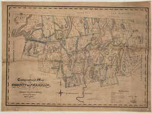
A topographical map of the county of Franklin, Massachusetts, exhibiting all the roads, rivers, brooks, mountains, etc.
122.
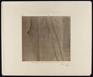
Topographical plan east end of Hoosac Tunnel 1864
123.
Topographical plan east end of Hoosac Tunnel 1864
124.
Topographical plan east end of Hoosac Tunnel 1864
125.
Topographical plan east end of Hoosac Tunnel 1864
126.
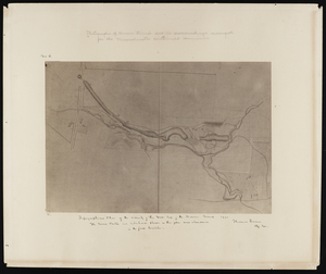
Topographical plan from west shaft to west end of Hoosac Tunnel 1864
127.
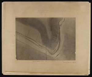
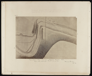
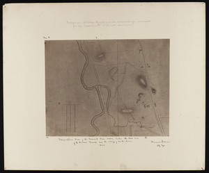
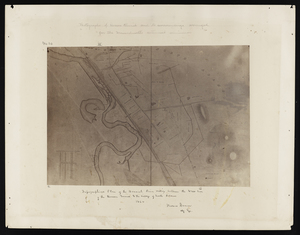
Topographical plan of the Hoosick River valley between the west end of the Hoosac Tunnel and the village of North Adams 1864
128.
Topographical plan of the Hoosick River valley between the west end of the Hoosac Tunnel and the village of North Adams 1864
129.
Topographical plan of the Hoosick River valley between the west end of the Hoosac Tunnel and the village of North Adams 1864
130.
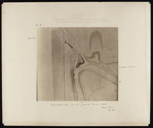
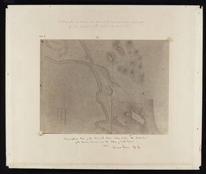
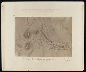
Topographical plan of the vicinity of the west end of the Hoosac Tunnel 1864
131.
Topographical plan of the vicinity of the west end of the Hoosac Tunnel 1864
132.
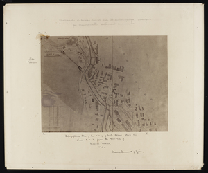
Topographical plan of the village of North Adams which lies about 2 miles from the west end of Hoosac Tunnel 1864
133.
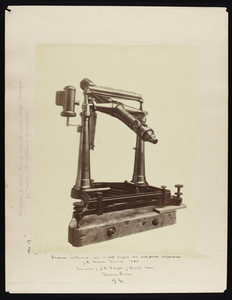
Transit instrument used in both surface and underground alignment of the Hoosac Tunnel 1864
134.
Various apparatus for alignment used in or near the central shaft
135.
View of surrounding countryside
136.
Views from Blood's Hill
137.
War telegram marking map
138.
West end
139.
West end
140.
West end
« Previous
Next »
1
2
3
4
5
6
7
8
Limit your search
Subject
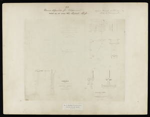
Hoosac Tunnel (Mass.)--Photographs
112
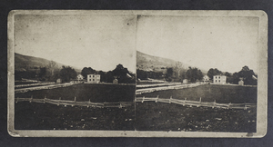
Tunnels--Massachusetts--Photographs
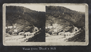
67
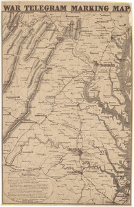
Tunnels--Massachusetts--History
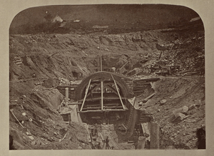
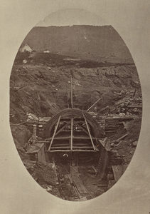
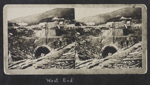
45
North Adams (Mass.)--Photographs
30
Maps, Pictorial
24
Holyoke (Mass.)--Aerial views
2
Massachusetts--Maps
2
Plymouth (Mass.)--Aerial views
2
more
Subject
»
Place
North and Central America
147
United States
147
Massachusetts
143
Berkshire (county)
32
Adams
30
Worcester (county)
13
Hampden (county)
4
Middlesex (county)
3
more
Place
»
Format
Photographs
112
Maps/Atlases
35
Available to use
No known restrictions
2
Date
View distribution
Current results range from
1800
to
1915
Date range begin
Date range end
View larger »
Unknown
1
Collection
Other
145
Boston and New England Maps (Collection of Distinction)
2
Norman B. Leventhal Map Center Collection
2
Urban Maps (Collection of Distinction)
2
Institution
State Library of Massachusetts
145
Boston Public Library
2