Skip to search
Skip to main content
Skip to first result
Digital Commonwealth
Folders
Sign Up / Log In
Search for
Search
Search
Search
Basic
Advanced
Explore
Map
Collections
Institutions
Formats
For Educators
Primary Source Sets
Lesson Plans
Using Primary Sources
Searching Digital Commonwealth
For Institutions
Join Digital Commonwealth
Conferences, Trainings, & Events
How to Contribute Collections
Digitization Services
Board & Committees
Frequently Asked Questions
About
About Digital Commonwealth
News & Announcements
Copyright & Terms of Use
Harmful Content Statement
Partners
API
Contact Us
Search
Search Constraints
Start Over
Save Search
Your search:
More Like
commonwealth-oai:qn59rw51f
✖
Remove constraint More Like: commonwealth-oai:qn59rw51f
« Prev.
|
81
-
100
of
10,046
|
Next »
Sort
by date (desc)
relevance
title
date (asc)
date (desc)
Number of results to display per page
20
per page
per page
10
per page
20
per page
50
per page
100
per page
View results as:
List
list view
Maps
map view
Gallery
grid view
Search Results
81.
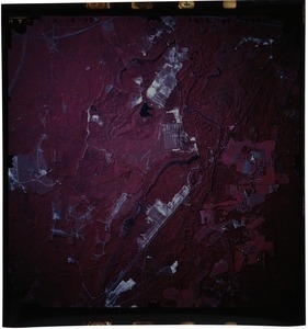
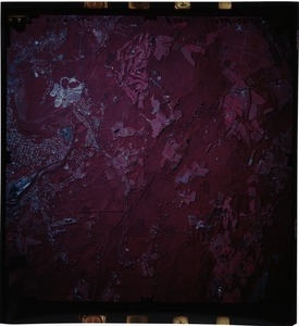
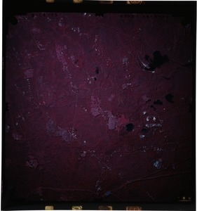
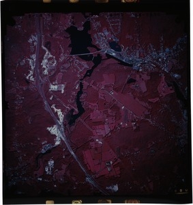
Worcester County: aerial photograph. 47-2075
82.
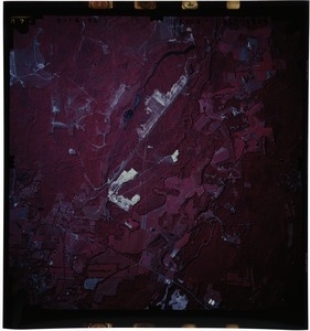
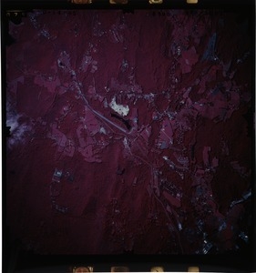
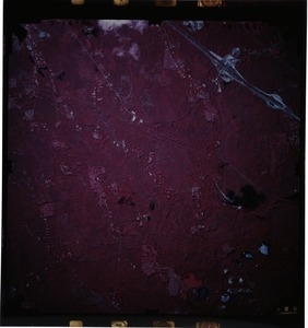
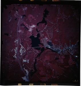
Worcester County: aerial photograph. 47-2076
83.
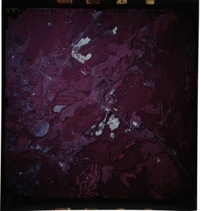
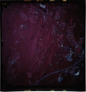
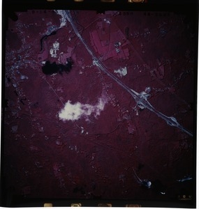
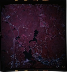
Worcester County: aerial photograph. 47-2077
84.
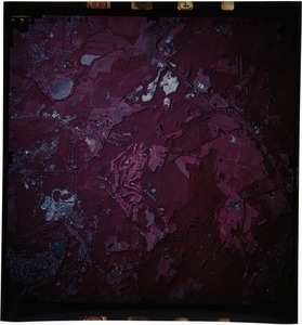
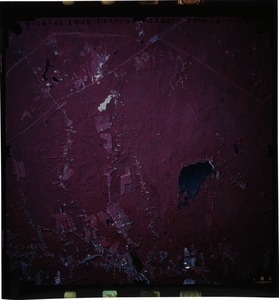
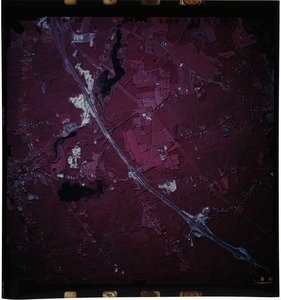
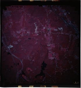
Worcester County: aerial photograph. 47-2078
85.
Worcester County: aerial photograph. 47-2079
86.
Worcester County: aerial photograph. 47-2080
87.
Worcester County: aerial photograph. 47-2081
88.
Worcester County: aerial photograph. 47-2082
89.
Worcester County: aerial photograph. 48-2083
90.
Worcester County: aerial photograph. 48-2084
91.
Worcester County: aerial photograph. 48-2085
92.
Worcester County: aerial photograph. 48-2086
93.
Worcester County: aerial photograph. 48-2087
94.
Worcester County: aerial photograph. 48-2088
95.
Worcester County: aerial photograph. 48-2089
96.
Worcester County: aerial photograph. 48-2090
97.
Worcester County: aerial photograph. 48-2091
98.
Worcester County: aerial photograph. 48-2092
99.
Worcester County: aerial photograph. 48-2093
100.
Worcester County: aerial photograph. 48-2094
« Previous
Next »
1
2
3
4
5
6
7
8
9
…
502
503
Limit your search
Subject
Land use--Massachusetts
10,046
Maps--Massachusetts
10,046
Place
Massachusetts
10,046
North and Central America
10,046
United States
10,046
Massachusetts--Worcester County
1,926
Massachusetts--Middlesex County
1,137
Massachusetts--Berkshire County
1,078
Massachusetts--Plymouth County
1,043
Massachusetts--Bristol County
855
more
Place
»
Format
Photographs
10,046
Prints
8,406
Date
View distribution
Current results range from
1951
to
1985
Date range begin
Date range end
View larger »
Collection
William P. MacConnell Aerial Photograph Collection, ca. 1950-2000
10,046
Institution
Special Collections and University Archives, University of Massachusetts Amherst Libraries
10,046