Skip to search
Skip to main content
Skip to first result
Digital Commonwealth
Folders
Sign Up / Log In
Search for
Search
Search
Search
Basic
Advanced
Explore
Map
Collections
Institutions
Formats
For Educators
Primary Source Sets
Lesson Plans
Using Primary Sources
Searching Digital Commonwealth
For Institutions
Join Digital Commonwealth
Conferences, Trainings, & Events
How to Contribute Collections
Digitization Services
Board & Committees
Frequently Asked Questions
About
About Digital Commonwealth
News & Announcements
Copyright & Terms of Use
Harmful Content Statement
Partners
API
Contact Us
Search
Search Constraints
Start Over
Save Search
Your search:
More Like
commonwealth-oai:qn59rm875
✖
Remove constraint More Like: commonwealth-oai:qn59rm875
« Prev. |
1
-
100
of
10,046
|
Next »
Sort
by title
relevance
title
date (asc)
date (desc)
Number of results to display per page
100
per page
per page
10
per page
20
per page
50
per page
100
per page
View results as:
List
list view
Maps
map view
Gallery
grid view
Search Results
1.
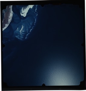
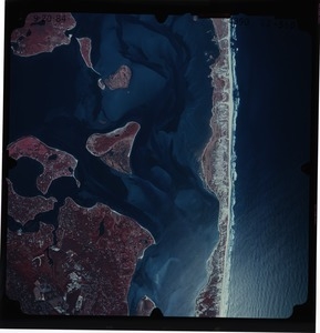
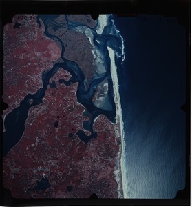
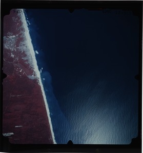
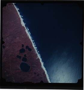
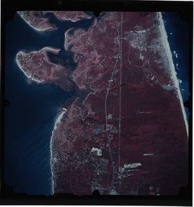
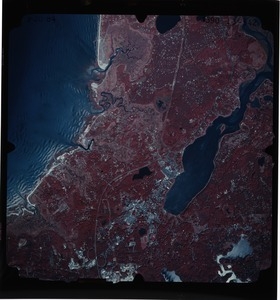
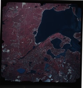
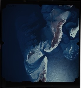
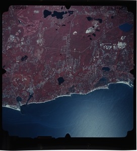
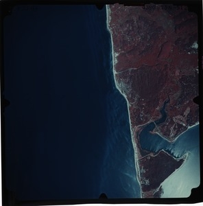
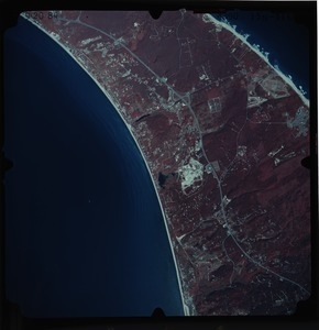
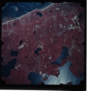
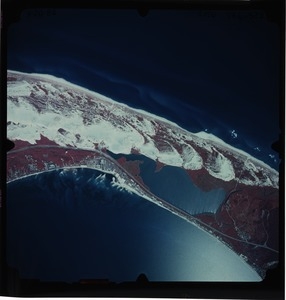
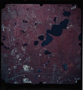
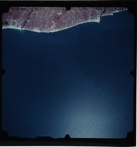
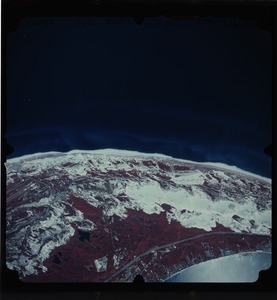
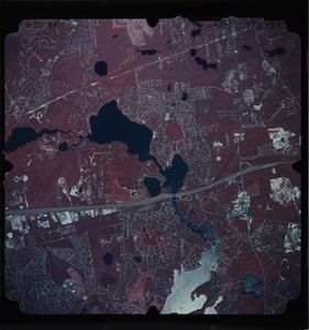
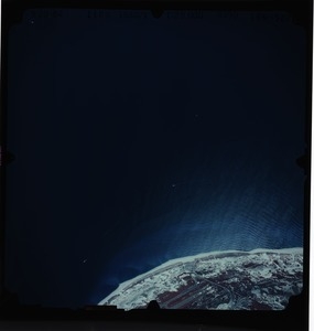
Barnstable County: aerial photograph. 12-555
2.
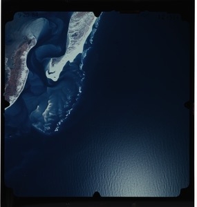
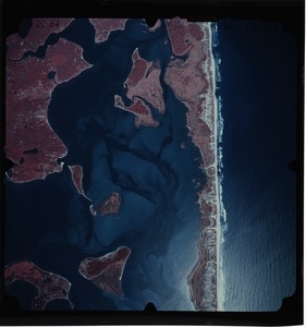
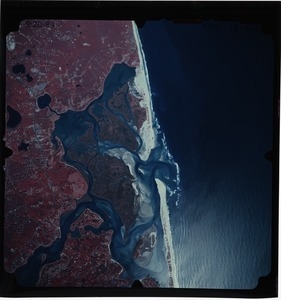
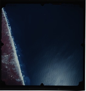
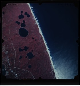
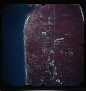
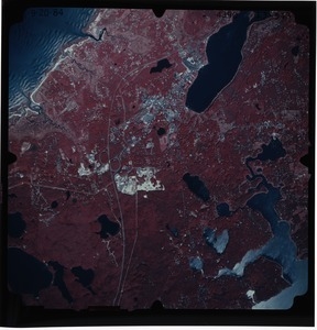
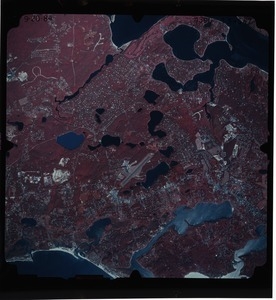
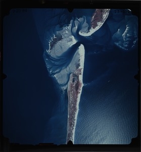
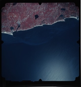
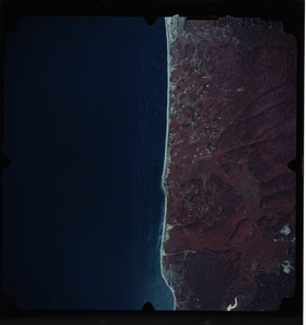
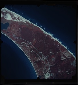
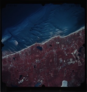
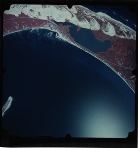
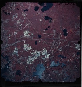
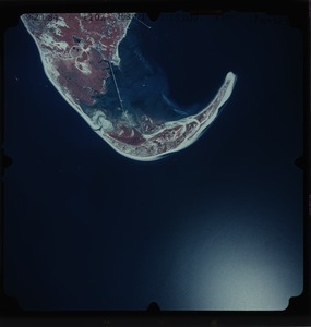
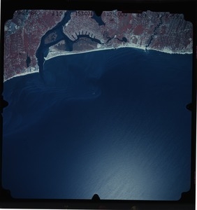
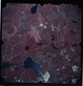
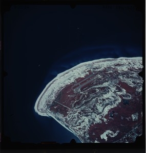
Barnstable County: aerial photograph. 12-556
3.
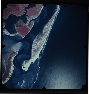
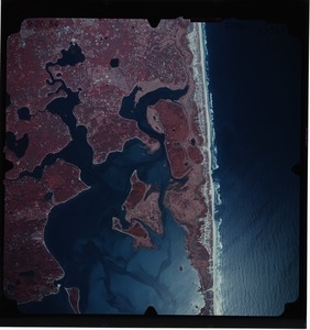
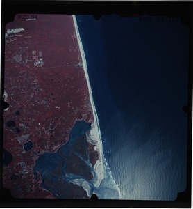
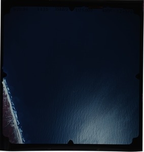
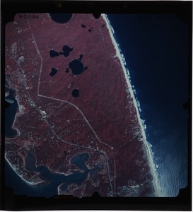
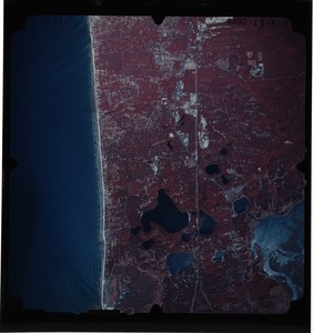
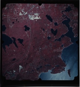
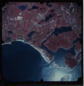
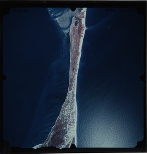
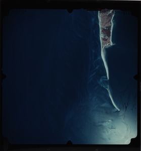
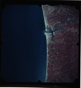
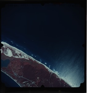
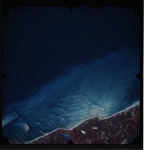
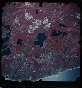
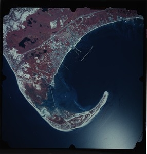
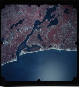
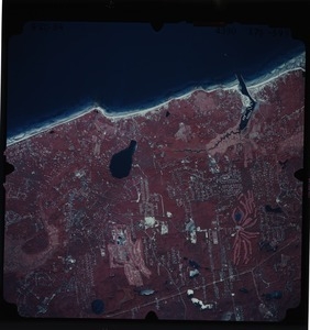
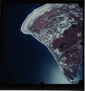
Barnstable County: aerial photograph. 12-557
4.
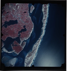
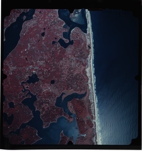
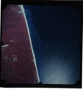
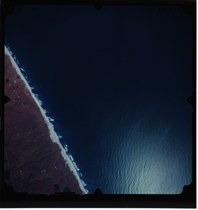
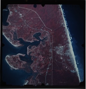
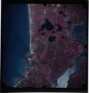
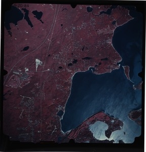
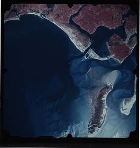
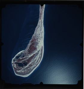
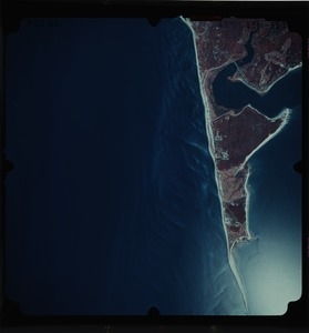
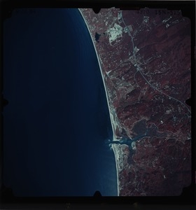
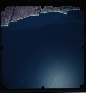
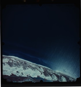
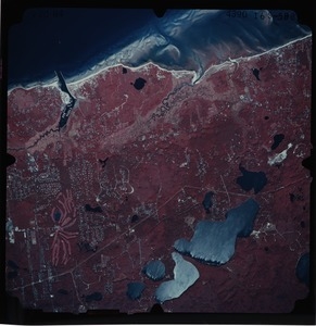
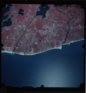
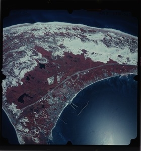
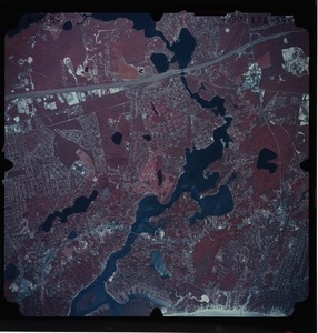
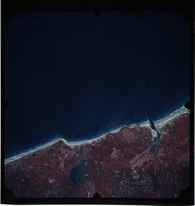
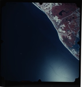
Barnstable County: aerial photograph. 12-558
5.
Barnstable County: aerial photograph. 12-560
6.
Barnstable County: aerial photograph. 12-561
7.
Barnstable County: aerial photograph. 12-562
8.
Barnstable County: aerial photograph. 12-563
9.
Barnstable County: aerial photograph. 12-564
10.
Barnstable County: aerial photograph. 12-565
11.
Barnstable County: aerial photograph. 12-566
12.
Barnstable County: aerial photograph. 12-567
13.
Barnstable County: aerial photograph. 12-568
14.
Barnstable County: aerial photograph. 12-569
15.
Barnstable County: aerial photograph. 12-570
16.
Barnstable County: aerial photograph. 13-532
17.
Barnstable County: aerial photograph. 13-533
18.
Barnstable County: aerial photograph. 13-534
19.
Barnstable County: aerial photograph. 13-535
20.
Barnstable County: aerial photograph. 13-536
21.
Barnstable County: aerial photograph. 13-537
22.
Barnstable County: aerial photograph. 13-538
23.
Barnstable County: aerial photograph. 13-539
24.
Barnstable County: aerial photograph. 13-540
25.
Barnstable County: aerial photograph. 13-541
26.
Barnstable County: aerial photograph. 13-542
27.
Barnstable County: aerial photograph. 13-543
28.
Barnstable County: aerial photograph. 13-544
29.
Barnstable County: aerial photograph. 13-545
30.
Barnstable County: aerial photograph. 13-546
31.
Barnstable County: aerial photograph. 13-547
32.
Barnstable County: aerial photograph. 13-548
33.
Barnstable County: aerial photograph. 13-549
34.
Barnstable County: aerial photograph. 13-550
35.
Barnstable County: aerial photograph. 13-551
36.
Barnstable County: aerial photograph. 13-552
37.
Barnstable County: aerial photograph. 13-553
38.
Barnstable County: aerial photograph. 13-554
39.
Barnstable County: aerial photograph. 14n-500
40.
Barnstable County: aerial photograph. 14n-501
41.
Barnstable County: aerial photograph. 14n-502
42.
Barnstable County: aerial photograph. 14n-503
43.
Barnstable County: aerial photograph. 14n-504
44.
Barnstable County: aerial photograph. 14n-505
45.
Barnstable County: aerial photograph. 14n-506
46.
Barnstable County: aerial photograph. 14n-507
47.
Barnstable County: aerial photograph. 14n-508
48.
Barnstable County: aerial photograph. 14s-571
49.
Barnstable County: aerial photograph. 14s-572
50.
Barnstable County: aerial photograph. 14s-573
51.
Barnstable County: aerial photograph. 14s-574
52.
Barnstable County: aerial photograph. 14s-575
53.
Barnstable County: aerial photograph. 14s-576
54.
Barnstable County: aerial photograph. 14s-577
55.
Barnstable County: aerial photograph. 14s-578
56.
Barnstable County: aerial photograph. 15n-510
57.
Barnstable County: aerial photograph. 15n-511
58.
Barnstable County: aerial photograph. 15n-512
59.
Barnstable County: aerial photograph. 15n-513
60.
Barnstable County: aerial photograph. 15n-514
61.
Barnstable County: aerial photograph. 15n-515
62.
Barnstable County: aerial photograph. 15n-516
63.
Barnstable County: aerial photograph. 15n-517
64.
Barnstable County: aerial photograph. 15n-518
65.
Barnstable County: aerial photograph. 15s-579
66.
Barnstable County: aerial photograph. 15s-580
67.
Barnstable County: aerial photograph. 15s-581
68.
Barnstable County: aerial photograph. 15s-582
69.
Barnstable County: aerial photograph. 15s-583
70.
Barnstable County: aerial photograph. 15s-584
71.
Barnstable County: aerial photograph. 15s-585
72.
Barnstable County: aerial photograph. 15s-586
73.
Barnstable County: aerial photograph. 16n-519
74.
Barnstable County: aerial photograph. 16n-520
75.
Barnstable County: aerial photograph. 16n-521
76.
Barnstable County: aerial photograph. 16n-522
77.
Barnstable County: aerial photograph. 16s-587
78.
Barnstable County: aerial photograph. 16s-588
79.
Barnstable County: aerial photograph. 16s-589
80.
Barnstable County: aerial photograph. 16s-590
81.
Barnstable County: aerial photograph. 16s-591
82.
Barnstable County: aerial photograph. 16s-592
83.
Barnstable County: aerial photograph. 16s-593
84.
Barnstable County: aerial photograph. 17n-523
85.
Barnstable County: aerial photograph. 17n-524
86.
Barnstable County: aerial photograph. 17n-525
87.
Barnstable County: aerial photograph. 17n-526
88.
Barnstable County: aerial photograph. 17s-594
89.
Barnstable County: aerial photograph. 17s-595
90.
Barnstable County: aerial photograph. 17s-596
91.
Barnstable County: aerial photograph. 17s-597
92.
Barnstable County: aerial photograph. 17s-598
93.
Barnstable County: aerial photograph. 17s-599
94.
Barnstable County: aerial photograph. 17s-600
95.
Barnstable County: aerial photograph. 18n-527
96.
Barnstable County: aerial photograph. 18n-528
97.
Barnstable County: aerial photograph. 18n-529
98.
Barnstable County: aerial photograph. 18n-530
99.
Barnstable County: aerial photograph. 18n-531
100.
Barnstable County: aerial photograph. 18s-601
« Previous
Next »
1
2
3
4
5
…
100
101
Limit your search
Subject
Land use--Massachusetts
10,046
Maps--Massachusetts
10,046
Place
Massachusetts
10,046
North and Central America
10,046
United States
10,046
Massachusetts--Worcester County
1,926
Massachusetts--Middlesex County
1,137
Massachusetts--Berkshire County
1,078
Massachusetts--Plymouth County
1,043
Massachusetts--Bristol County
855
more
Place
»
Format
Photographs
10,046
Prints
8,406
Date
View distribution
Current results range from
1951
to
1985
Date range begin
Date range end
View larger »
Collection
William P. MacConnell Aerial Photograph Collection, ca. 1950-2000
10,046
Institution
Special Collections and University Archives, University of Massachusetts Amherst Libraries
10,046