Skip to search
Skip to main content
Skip to first result
Digital Commonwealth
Folders
Sign Up / Log In
Search for
Search
Search
Search
Basic
Advanced
Explore
Map
Collections
Institutions
Formats
For Educators
Primary Source Sets
Lesson Plans
Using Primary Sources
Searching Digital Commonwealth
For Institutions
Join Digital Commonwealth
Conferences, Trainings, & Events
How to Contribute Collections
Digitization Services
Board & Committees
Frequently Asked Questions
About
About Digital Commonwealth
News & Announcements
Copyright & Terms of Use
Harmful Content Statement
Partners
API
Contact Us
Search
Search Constraints
Start Over
Save Search
Your search:
More Like
commonwealth-oai:qn59rm875
✖
Remove constraint More Like: commonwealth-oai:qn59rm875
« Prev.
|
301
-
400
of
10,046
|
Next »
Sort
by relevance
relevance
title
date (asc)
date (desc)
Number of results to display per page
100
per page
per page
10
per page
20
per page
50
per page
100
per page
View results as:
List
list view
Maps
map view
Gallery
grid view
Search Results
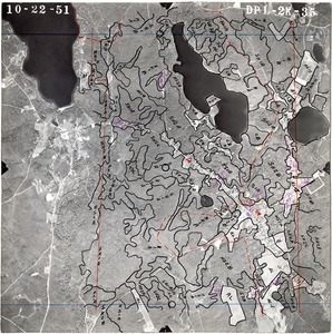
301.
Barnstable County: aerial photograph. dpl-2k-35
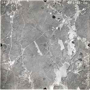
302.
Barnstable County: aerial photograph. dpl-2k-36
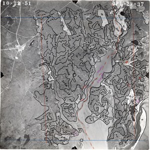
303.
Barnstable County: aerial photograph. dpl-2k-37
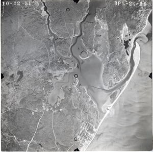
304.
Barnstable County: aerial photograph. dpl-2k-38
305.
Barnstable County: aerial photograph. dpl-2k-39
306.
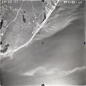
Barnstable County: aerial photograph. dpl-2k-40
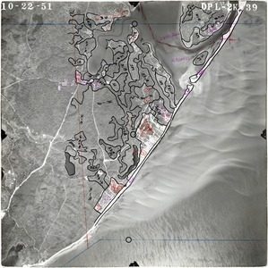
307.
Barnstable County: aerial photograph. dpl-2k-42
308.
Barnstable County: aerial photograph. dpl-2k-43
309.
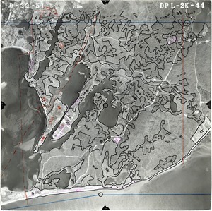
Barnstable County: aerial photograph. dpl-2k-44
310.
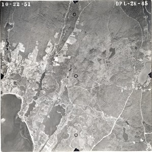
Barnstable County: aerial photograph. dpl-2k-45
311.
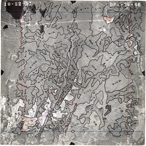
Barnstable County: aerial photograph. dpl-2k-46
312.
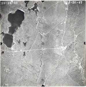
Barnstable County: aerial photograph. dpl-2k-47
313.
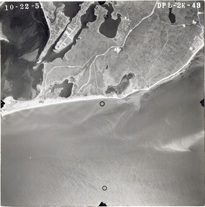
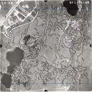
Barnstable County: aerial photograph. dpl-2k-48
314.
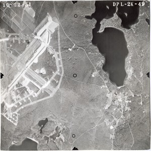
Barnstable County: aerial photograph. dpl-2k-49
315.
Barnstable County: aerial photograph. dpl-2k-5
316.
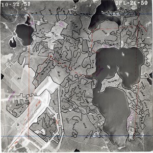
Barnstable County: aerial photograph. dpl-2k-50
317.
Barnstable County: aerial photograph. dpl-2k-51
318.
Barnstable County: aerial photograph. dpl-2k-52
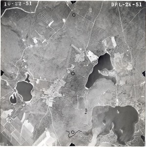
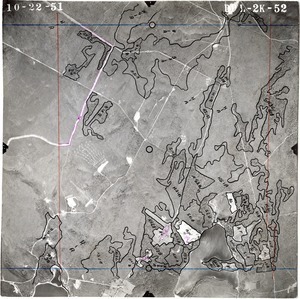
319.
Barnstable County: aerial photograph. dpl-2k-53
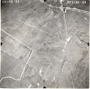
320.
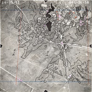
Barnstable County: aerial photograph. dpl-2k-54
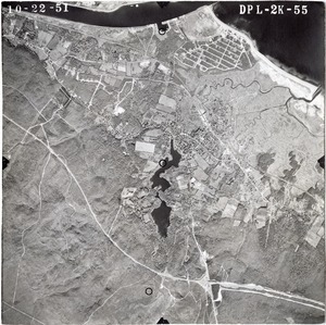
321.
Barnstable County: aerial photograph. dpl-2k-55
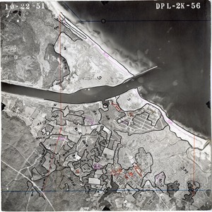
322.
Barnstable County: aerial photograph. dpl-2k-56
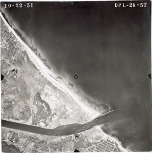
323.
Barnstable County: aerial photograph. dpl-2k-57
324.
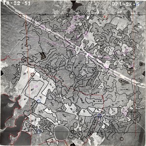
Barnstable County: aerial photograph. dpl-2k-6
325.
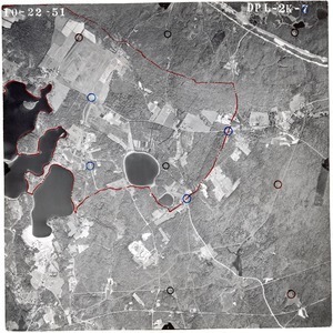
Barnstable County: aerial photograph. dpl-2k-7
326.
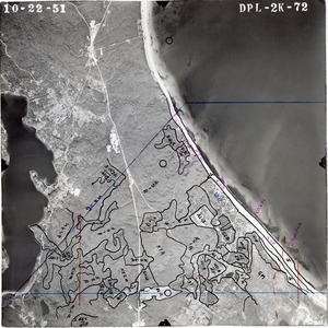
Barnstable County: aerial photograph. dpl-2k-72
327.
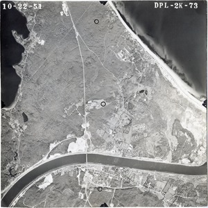
Barnstable County: aerial photograph. dpl-2k-73
328.
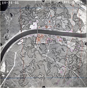
Barnstable County: aerial photograph. dpl-2k-74
329.
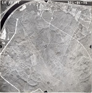
Barnstable County: aerial photograph. dpl-2k-75
330.
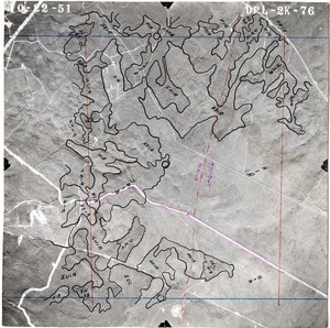
Barnstable County: aerial photograph. dpl-2k-76
331.
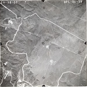
Barnstable County: aerial photograph. dpl-2k-77
332.
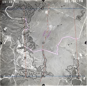
Barnstable County: aerial photograph. dpl-2k-78
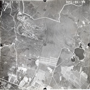
333.
Barnstable County: aerial photograph. dpl-2k-79
334.
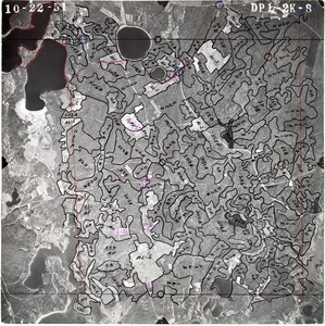
Barnstable County: aerial photograph. dpl-2k-8
335.
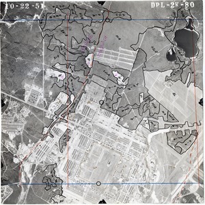
Barnstable County: aerial photograph. dpl-2k-80
336.
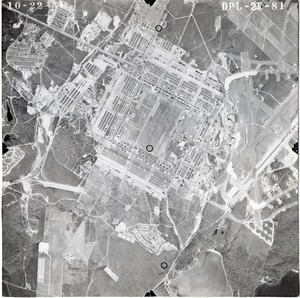
Barnstable County: aerial photograph. dpl-2k-81
337.
Barnstable County: aerial photograph. dpl-2k-82
338.
Barnstable County: aerial photograph. dpl-2k-83
339.
Barnstable County: aerial photograph. dpl-2k-84
340.
Barnstable County: aerial photograph. dpl-2k-85
341.
Barnstable County: aerial photograph. dpl-2k-86
342.
Barnstable County: aerial photograph. dpl-2k-87
343.
Barnstable County: aerial photograph. dpl-2k-88
344.
Barnstable County: aerial photograph. dpl-2k-89
345.
Barnstable County: aerial photograph. dpl-2k-9
346.
Barnstable County: aerial photograph. dpl-2k-90
347.
Barnstable County: aerial photograph. dpl-2k-91
348.
Barnstable County: aerial photograph. dpl-2k-92
349.
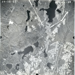
Barnstable County: aerial photograph. dpl-2k-93
350.
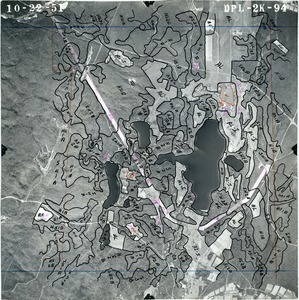
Barnstable County: aerial photograph. dpl-2k-94
351.
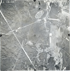
Barnstable County: aerial photograph. dpl-2k-95
352.
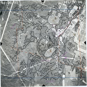
Barnstable County: aerial photograph. dpl-2k-96
353.
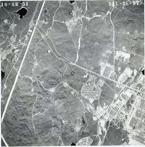
Barnstable County: aerial photograph. dpl-2k-97
354.
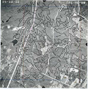
Barnstable County: aerial photograph. dpl-2k-98
355.
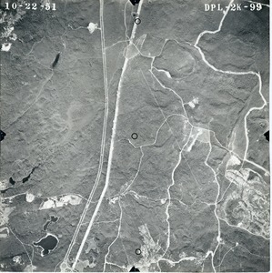
Barnstable County: aerial photograph. dpl-2k-99
356.
Barnstable County: aerial photograph. dpl-2mm-100
357.
Barnstable County: aerial photograph. dpl-2mm-101
358.
Barnstable County: aerial photograph. dpl-2mm-102
359.
Barnstable County: aerial photograph. dpl-2mm-103
360.
Barnstable County: aerial photograph. dpl-2mm-104
361.
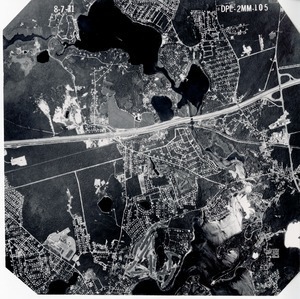
Barnstable County: aerial photograph. dpl-2mm-105
362.
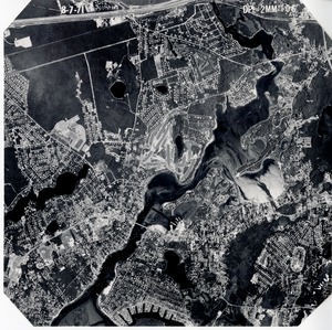
Barnstable County: aerial photograph. dpl-2mm-106
363.
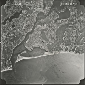
Barnstable County: aerial photograph. dpl-2mm-107
364.
Barnstable County: aerial photograph. dpl-2mm-108
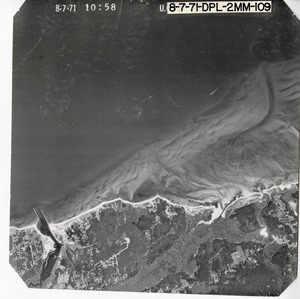
365.
Barnstable County: aerial photograph. dpl-2mm-109
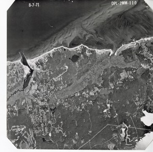
366.
Barnstable County: aerial photograph. dpl-2mm-110
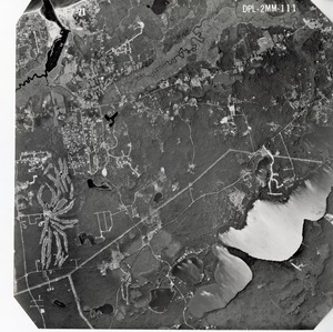
367.
Barnstable County: aerial photograph. dpl-2mm-111
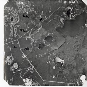
368.
Barnstable County: aerial photograph. dpl-2mm-112
369.
Barnstable County: aerial photograph. dpl-2mm-113
370.
Barnstable County: aerial photograph. dpl-2mm-114
371.
Barnstable County: aerial photograph. dpl-2mm-115
372.
Barnstable County: aerial photograph. dpl-2mm-116
373.
Barnstable County: aerial photograph. dpl-2mm-117
374.
Barnstable County: aerial photograph. dpl-2mm-118
375.
Barnstable County: aerial photograph. dpl-2mm-119
376.
Barnstable County: aerial photograph. dpl-2mm-120
377.
Barnstable County: aerial photograph. dpl-2mm-121
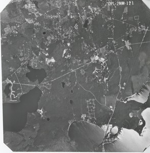
378.
Barnstable County: aerial photograph. dpl-2mm-122
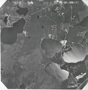
379.
Barnstable County: aerial photograph. dpl-2mm-123
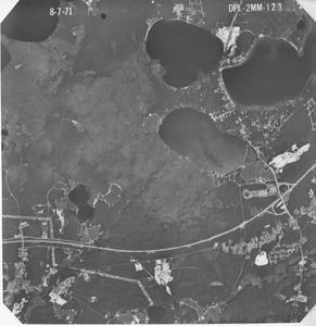
380.
Barnstable County: aerial photograph. dpl-2mm-124
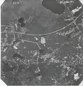
381.
Barnstable County: aerial photograph. dpl-2mm-125
382.
Barnstable County: aerial photograph. dpl-2mm-126
383.
Barnstable County: aerial photograph. dpl-2mm-127
384.
Barnstable County: aerial photograph. dpl-2mm-128
385.
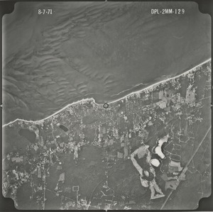
Barnstable County: aerial photograph. dpl-2mm-129
386.
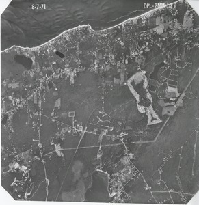
Barnstable County: aerial photograph. dpl-2mm-130
387.
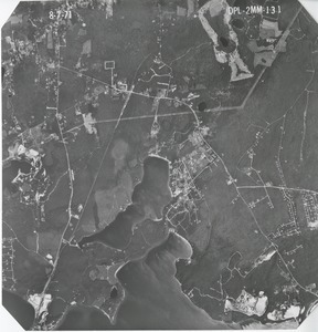
Barnstable County: aerial photograph. dpl-2mm-131
388.
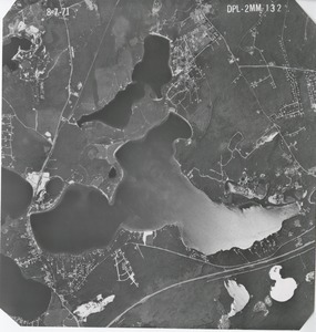
Barnstable County: aerial photograph. dpl-2mm-132
389.
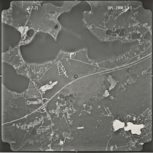
Barnstable County: aerial photograph. dpl-2mm-133
390.
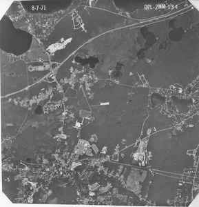
Barnstable County: aerial photograph. dpl-2mm-134
391.
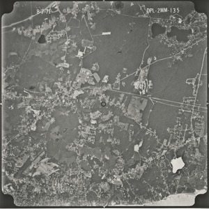
Barnstable County: aerial photograph. dpl-2mm-135
392.
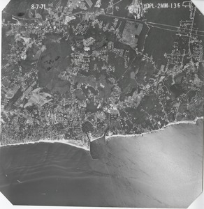
Barnstable County: aerial photograph. dpl-2mm-136
393.
Barnstable County: aerial photograph. dpl-2mm-137
394.
Barnstable County: aerial photograph. dpl-2mm-138
395.
Barnstable County: aerial photograph. dpl-2mm-139
396.
Barnstable County: aerial photograph. dpl-2mm-140
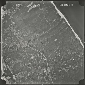
397.
Barnstable County: aerial photograph. dpl-2mm-141
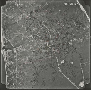
398.
Barnstable County: aerial photograph. dpl-2mm-142
399.
Barnstable County: aerial photograph. dpl-2mm-143
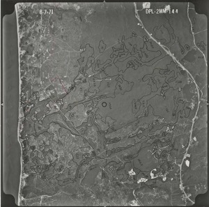
400.
Barnstable County: aerial photograph. dpl-2mm-144
« Previous
Next »
1
2
3
4
5
6
7
8
…
100
101
Limit your search
Subject
Land use--Massachusetts
10,046
Maps--Massachusetts
10,046
Place
Massachusetts
10,046
North and Central America
10,046
United States
10,046
Massachusetts--Worcester County
1,926
Massachusetts--Middlesex County
1,137
Massachusetts--Berkshire County
1,078
Massachusetts--Plymouth County
1,043
Massachusetts--Bristol County
855
more
Place
»
Format
Photographs
10,046
Prints
8,406
Date
View distribution
Current results range from
1951
to
1985
Date range begin
Date range end
View larger »
Collection
William P. MacConnell Aerial Photograph Collection, ca. 1950-2000
10,046
Institution
Special Collections and University Archives, University of Massachusetts Amherst Libraries
10,046