Skip to search
Skip to main content
Skip to first result
Digital Commonwealth
Folders
Sign Up / Log In
Search for
Search
Search
Search
Basic
Advanced
Explore
Map
Collections
Institutions
Formats
For Educators
Primary Source Sets
Lesson Plans
Using Primary Sources
Searching Digital Commonwealth
For Institutions
Join Digital Commonwealth
Conferences, Trainings, & Events
How to Contribute Collections
Digitization Services
Board & Committees
Frequently Asked Questions
About
About Digital Commonwealth
News & Announcements
Copyright & Terms of Use
Harmful Content Statement
Partners
API
Contact Us
Search
Search Constraints
Start Over
Save Search
Your search:
More Like
commonwealth-oai:qn59rm875
✖
Remove constraint More Like: commonwealth-oai:qn59rm875
« Prev.
|
201
-
300
of
10,046
|
Next »
Sort
by relevance
relevance
title
date (asc)
date (desc)
Number of results to display per page
100
per page
per page
10
per page
20
per page
50
per page
100
per page
View results as:
List
list view
Maps
map view
Gallery
grid view
Search Results
201.
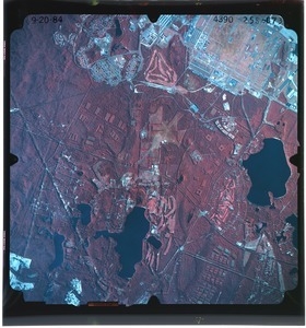
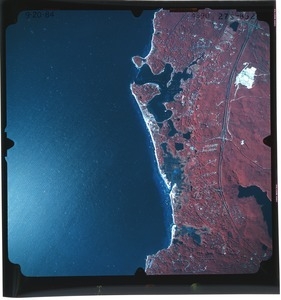
Barnstable County: aerial photograph. 25s-873
202.
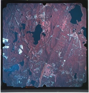
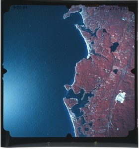
Barnstable County: aerial photograph. 25s-874
203.
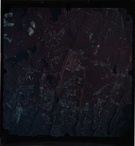
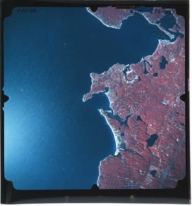
Barnstable County: aerial photograph. 25s-875
204.
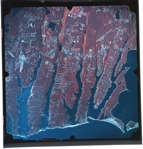
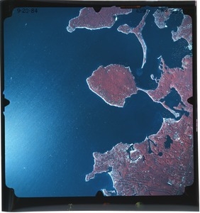
Barnstable County: aerial photograph. 25s-876
205.
Barnstable County: aerial photograph. 25s-877
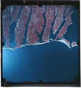
206.
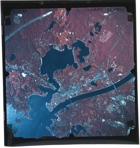
Barnstable County: aerial photograph. 26s-817
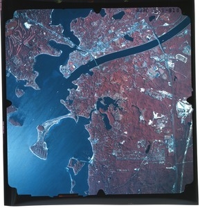
207.
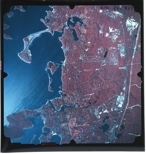
Barnstable County: aerial photograph. 26s-818
208.
Barnstable County: aerial photograph. 26s-819
209.
Barnstable County: aerial photograph. 26s-820
210.
Barnstable County: aerial photograph. 26s-821
211.
Barnstable County: aerial photograph. 26s-822
212.
Barnstable County: aerial photograph. 26s-823
213.
Barnstable County: aerial photograph. 26s-824
214.
Barnstable County: aerial photograph. 26s-825
215.
Barnstable County: aerial photograph. 26s-826
216.
Barnstable County: aerial photograph. 26s-827
217.
Barnstable County: aerial photograph. 27s-828
218.
Barnstable County: aerial photograph. 27s-829
219.
Barnstable County: aerial photograph. 27s-830
220.
Barnstable County: aerial photograph. 27s-831
221.
Barnstable County: aerial photograph. 27s-832
222.
Barnstable County: aerial photograph. 27s-833
223.
Barnstable County: aerial photograph. 27s-834
224.
Barnstable County: aerial photograph. 27s-835
225.
Barnstable County: aerial photograph. 27s-836
226.
Barnstable County: aerial photograph. dpl-1mm-170
227.
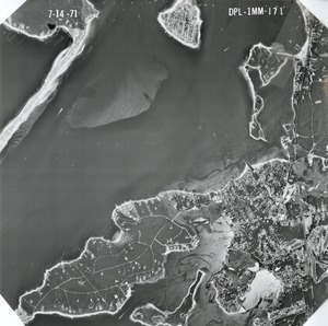
Barnstable County: aerial photograph. dpl-1mm-171
228.
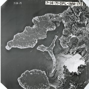
Barnstable County: aerial photograph. dpl-1mm-172
229.
Barnstable County: aerial photograph. dpl-1mm-173
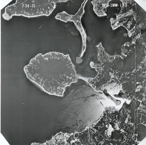
230.
Barnstable County: aerial photograph. dpl-1mm-175
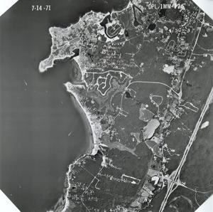
231.
Barnstable County: aerial photograph. dpl-1mm-176
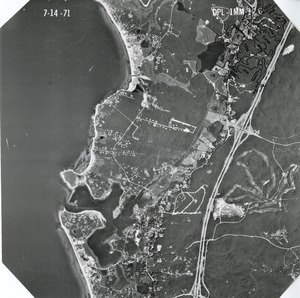
232.
Barnstable County: aerial photograph. dpl-1mm-177
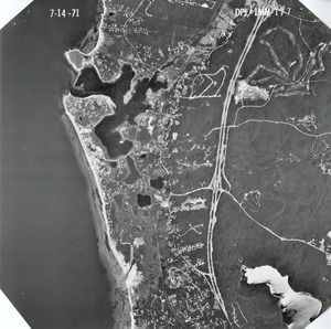
233.
Barnstable County: aerial photograph. dpl-1mm-178
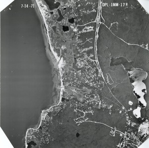
234.
Barnstable County: aerial photograph. dpl-1mm-179
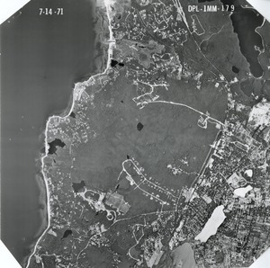
235.
Barnstable County: aerial photograph. dpl-1mm-180
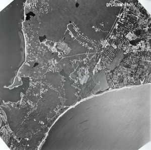
236.
Barnstable County: aerial photograph. dpl-1mm-181
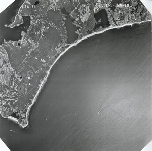
237.
Barnstable County: aerial photograph. dpl-1mm-182
238.
Barnstable County: aerial photograph. dpl-1mm-183
239.
Barnstable County: aerial photograph. dpl-1mm-184
240.
Barnstable County: aerial photograph. dpl-1mm-185
241.
Barnstable County: aerial photograph. dpl-1mm-186
242.
Barnstable County: aerial photograph. dpl-1mm-187
243.
Barnstable County: aerial photograph. dpl-1mm-188
244.
Barnstable County: aerial photograph. dpl-1mm-189
245.
Barnstable County: aerial photograph. dpl-1mm-190
246.
Barnstable County: aerial photograph. dpl-1mm-191
247.
Barnstable County: aerial photograph. dpl-1mm-192
248.
Barnstable County: aerial photograph. dpl-1mm-193
249.
Barnstable County: aerial photograph. dpl-1mm-194
250.
Barnstable County: aerial photograph. dpl-1mm-195
251.
Barnstable County: aerial photograph. dpl-1mm-196
252.
Barnstable County: aerial photograph. dpl-1mm-198
253.
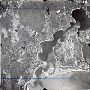
Barnstable County: aerial photograph. dpl-2k-10
254.
Barnstable County: aerial photograph. dpl-2k-100
255.
Barnstable County: aerial photograph. dpl-2k-101
256.
Barnstable County: aerial photograph. dpl-2k-102
257.
Barnstable County: aerial photograph. dpl-2k-103
258.
Barnstable County: aerial photograph. dpl-2k-11
259.
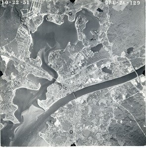
Barnstable County: aerial photograph. dpl-2k-129
260.
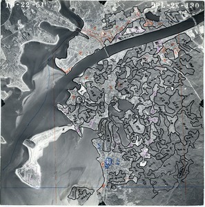
Barnstable County: aerial photograph. dpl-2k-130
261.
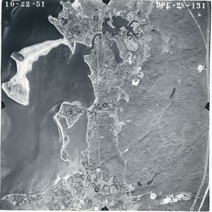
Barnstable County: aerial photograph. dpl-2k-131
262.
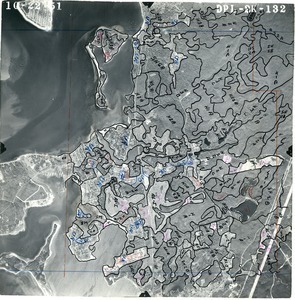
Barnstable County: aerial photograph. dpl-2k-132
263.
Barnstable County: aerial photograph. dpl-2k-133
264.
Barnstable County: aerial photograph. dpl-2k-134
265.
Barnstable County: aerial photograph. dpl-2k-136
266.
Barnstable County: aerial photograph. dpl-2k-137
267.
Barnstable County: aerial photograph. dpl-2k-138
268.
Barnstable County: aerial photograph. dpl-2k-139
269.
Barnstable County: aerial photograph. dpl-2k-140
270.
Barnstable County: aerial photograph. dpl-2k-141
271.
Barnstable County: aerial photograph. dpl-2k-144
272.
Barnstable County: aerial photograph. dpl-2k-145
273.
Barnstable County: aerial photograph. dpl-2k-146
274.
Barnstable County: aerial photograph. dpl-2k-147
275.
Barnstable County: aerial photograph. dpl-2k-148
276.
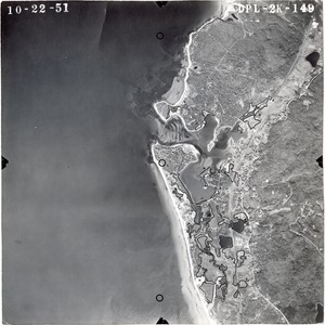
Barnstable County: aerial photograph. dpl-2k-149
277.
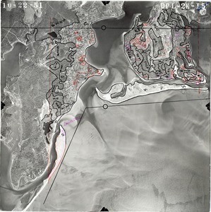
Barnstable County: aerial photograph. dpl-2k-15
278.
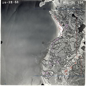
Barnstable County: aerial photograph. dpl-2k-150
279.
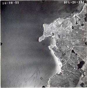
Barnstable County: aerial photograph. dpl-2k-151
280.
Barnstable County: aerial photograph. dpl-2k-152
281.
Barnstable County: aerial photograph. dpl-2k-153
282.
Barnstable County: aerial photograph. dpl-2k-154
283.
Barnstable County: aerial photograph. dpl-2k-155
284.
Barnstable County: aerial photograph. dpl-2k-16
285.
Barnstable County: aerial photograph. dpl-2k-17
286.
Barnstable County: aerial photograph. dpl-2k-18
287.
Barnstable County: aerial photograph. dpl-2k-19
288.
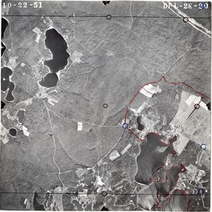
Barnstable County: aerial photograph. dpl-2k-20
289.
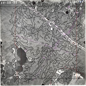
Barnstable County: aerial photograph. dpl-2k-21
290.
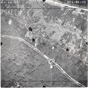
Barnstable County: aerial photograph. dpl-2k-22
291.
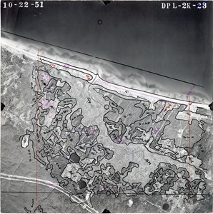
Barnstable County: aerial photograph. dpl-2k-23
292.
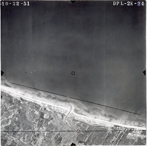
Barnstable County: aerial photograph. dpl-2k-24
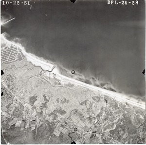
293.
Barnstable County: aerial photograph. dpl-2k-28
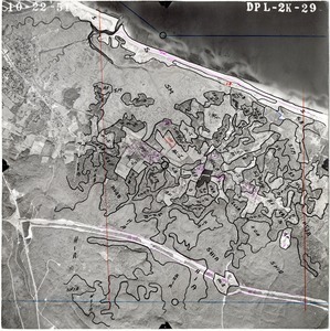
294.
Barnstable County: aerial photograph. dpl-2k-29
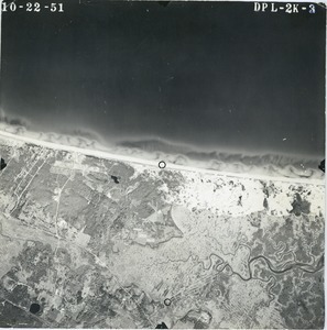
295.
Barnstable County: aerial photograph. dpl-2k-3
296.
Barnstable County: aerial photograph. dpl-2k-30
297.
Barnstable County: aerial photograph. dpl-2k-31
298.
Barnstable County: aerial photograph. dpl-2k-32
299.
Barnstable County: aerial photograph. dpl-2k-33
300.
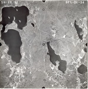
Barnstable County: aerial photograph. dpl-2k-34
« Previous
Next »
1
2
3
4
5
6
7
…
100
101
Limit your search
Subject
Land use--Massachusetts
10,046
Maps--Massachusetts
10,046
Place
Massachusetts
10,046
North and Central America
10,046
United States
10,046
Massachusetts--Worcester County
1,926
Massachusetts--Middlesex County
1,137
Massachusetts--Berkshire County
1,078
Massachusetts--Plymouth County
1,043
Massachusetts--Bristol County
855
more
Place
»
Format
Photographs
10,046
Prints
8,406
Date
View distribution
Current results range from
1951
to
1985
Date range begin
Date range end
View larger »
Collection
William P. MacConnell Aerial Photograph Collection, ca. 1950-2000
10,046
Institution
Special Collections and University Archives, University of Massachusetts Amherst Libraries
10,046